
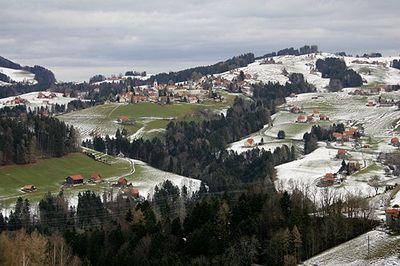
Wald, municipality in the canton Appenzell Ausserrhoden, Switzerland
Location: Appenzell Ausserrhoden
Location: Vorderland District
Elevation above the sea: 962 m
Shares border with: Heiden, Oberegg, Rehetobel, Trogen
Website: https://wald.ar.ch
GPS coordinates: 47.41556,9.49028
Latest update: March 2, 2025 23:01
Gupf
1.6 km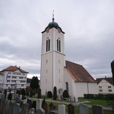
Reformed church
107 m
Reformierte Kirche Rehetobel
1.3 km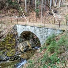
Stone arch bridge
1.3 km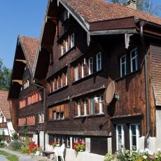
Bäuerliches Fabrikantenhaus
1.1 km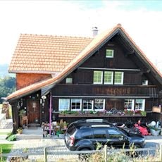
Rehetobel farmhouse, Ettenberg 8
2 km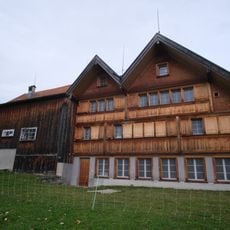
Farmhouse
941 m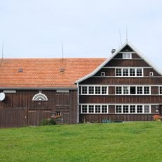
Rehetobel farmhouse, Nasen 16
1.3 km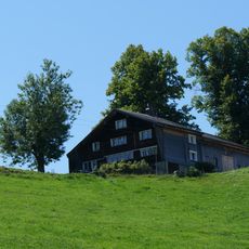
Farmhouse
1.9 km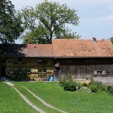
Heiden house
1.9 km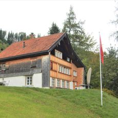
Ehemaliges Weberhöckli
986 m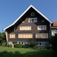
Rehetobel farmhouse
1.1 km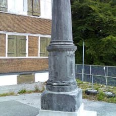
Dreikantonestein
2.8 km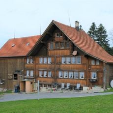
Farmhouse
1 km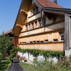
Farmhouse
1.2 km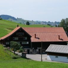
Farmhouse
2 km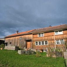
Heiden house
1.6 km
Ehemaliges Weberhaus
1.1 km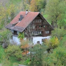
Residential building
1.3 km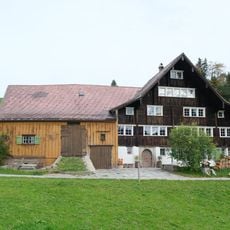
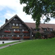
Rural factory owner house
871 m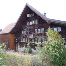
Farmhouse
652 m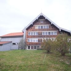
Farmhouse
1.3 km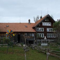
Farmhouse
1.4 km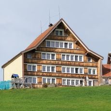
Farmhouse
707 m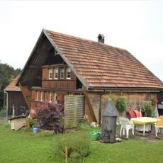
Rehetobel farmhouse, Lochersebni 5
1.1 km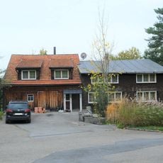
Heiden house
1.6 km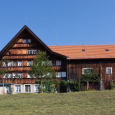
Rural factory owner house
989 m
Fabrikantenhaus
3.1 kmVisited this place? Tap the stars to rate it and share your experience / photos with the community! Try now! You can cancel it anytime.
Discover hidden gems everywhere you go!
From secret cafés to breathtaking viewpoints, skip the crowded tourist spots and find places that match your style. Our app makes it easy with voice search, smart filtering, route optimization, and insider tips from travelers worldwide. Download now for the complete mobile experience.

A unique approach to discovering new places❞
— Le Figaro
All the places worth exploring❞
— France Info
A tailor-made excursion in just a few clicks❞
— 20 Minutes