
Lutzenberg, municipality in the canton of Appenzell Ausserrhoden, Switzerland
Location: Appenzell Ausserrhoden
Elevation above the sea: 523 m
Shares border with: Eggersriet, Heiden, Rorschacherberg, St. Margrethen, Thal, Wolfhalden, Rheineck, Walzenhausen
Website: https://lutzenberg.ch
GPS coordinates: 47.45806,9.58361
Latest update: March 2, 2025 23:54
Unserer Lieben Frau
1.3 km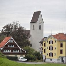
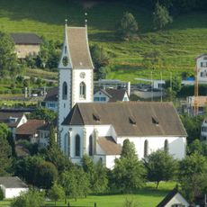
Reformed church
2.5 km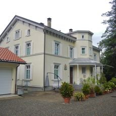
Villa Streichenberg
1.1 km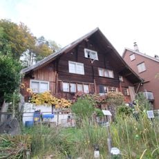
Ehemaliges Bauernhaus
3.9 km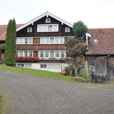
Farmhouse
1.1 km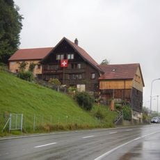
Duplex house
872 m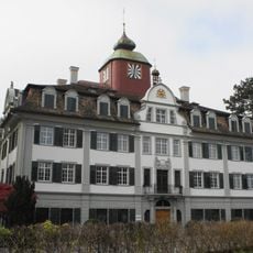
Löwenhof
1.1 km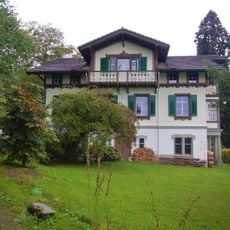
Residential building
1.1 km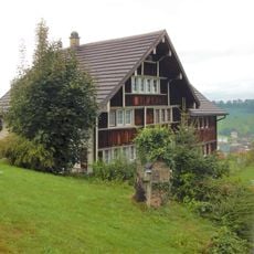
Duplex house
1.5 km
Residential building
3.8 km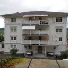
Dominion building
1.4 km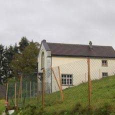
Art studio
1 km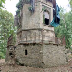
Pavillon
1.1 km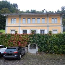
Remise
1.3 km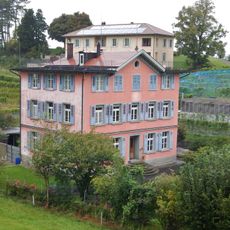
Villa Bildschachen
1.1 km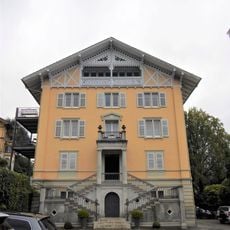
Former embroidery factory
1.3 km
Residential building
3.1 km
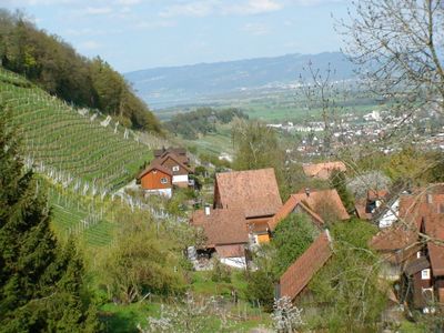
Former vineyard farm
685 m
Doppelbauernhaus
3.8 km
Residential building
209 m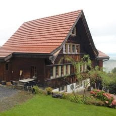
Residential house with barn
1 km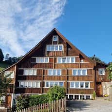
Doppelwohnhaus
115 m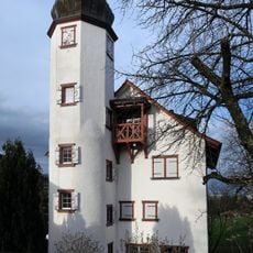
Klingelburg
850 m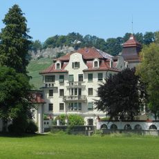
Dufour-Schloss
1.2 km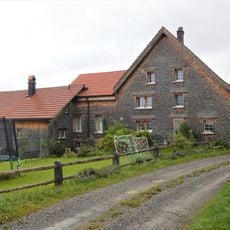
Farmhouse with hall
1.3 km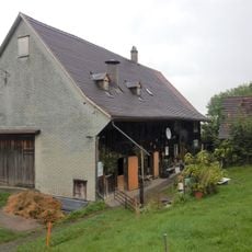
Farmhouse
1.6 km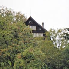
Farmhouse
2.3 km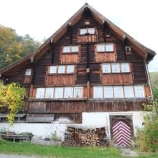
Former winegrower's house
3.8 kmVisited this place? Tap the stars to rate it and share your experience / photos with the community! Try now! You can cancel it anytime.
Discover hidden gems everywhere you go!
From secret cafés to breathtaking viewpoints, skip the crowded tourist spots and find places that match your style. Our app makes it easy with voice search, smart filtering, route optimization, and insider tips from travelers worldwide. Download now for the complete mobile experience.

A unique approach to discovering new places❞
— Le Figaro
All the places worth exploring❞
— France Info
A tailor-made excursion in just a few clicks❞
— 20 Minutes