
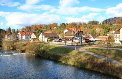
Zell, municipality in Switzerland
Location: Winterthur District
Location: Zürich
Elevation above the sea: 541 m
Shares border with: Turbenthal, Winterthur
Website: http://zell.ch
GPS coordinates: 47.44889,8.82333
Latest update: March 5, 2025 05:43
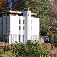
Tibet Institute Rikon
2.1 km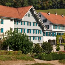
Kurhaus Gyrenbad
1.7 km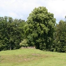
Medieval castle ruins
1.6 km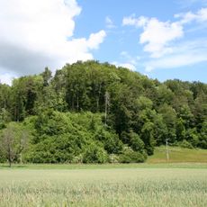
Ruine Liebenberg
2.6 km
Ehrikon
3.5 km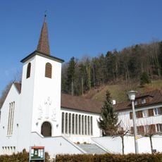
Herz Jesu Turbenthal
2.1 km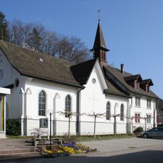
St. Antonius
3.6 km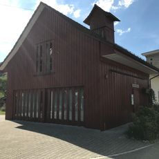
Ortsmuseum Weisslingen
5 km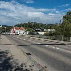
Weisslingerstrasse-Brücke
4.2 km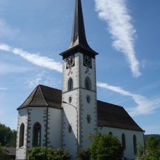
Reformed church
2.4 km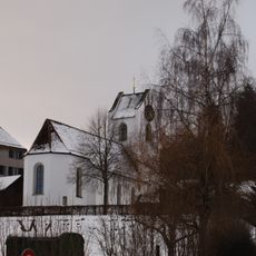
Reformed church, rectory and outbuildings
2.1 km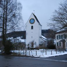
Reformed church
4.7 km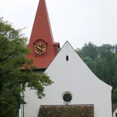
Reformierte Kirche Zell
77 m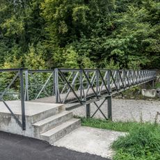
Schützenhaus-Steg
2.3 km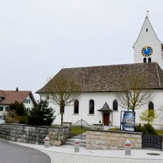
Reformed church
2.4 km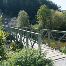
Seemerrüti-Steg
3.8 km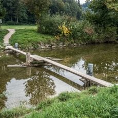
Tösswis-Schwemmsteg
1.8 km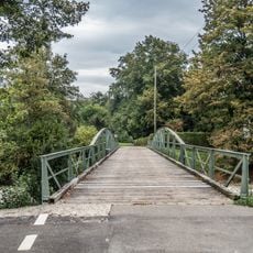
Rämismühle-Brücke (Seefeldstrasse)
1.1 km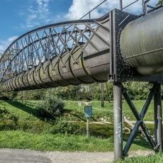
Obere-Spinnerei-Töss-Gewerbekanal-Aquädukt
3.4 km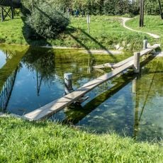
Auen-Schwemmsteg
3.4 km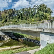
Brunnenweidenstrasse-Brücke
3.2 km
Fridtal-Brücke (Wildbergstrasse)
1.4 km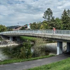
Schöntalstrasse-Brücke
2.3 km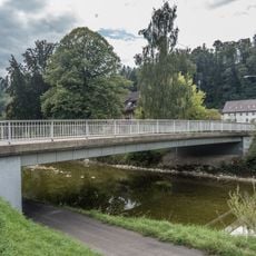
Neschwilerstrasse-Brücke
2 km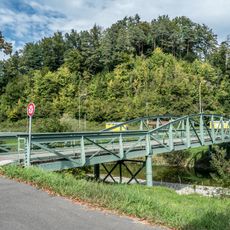
Au-Brücke
2.8 km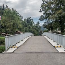
Hornsäge-Brücke (Hornwidenstrasse)
919 m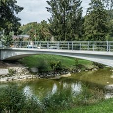
Schöntal-Brücke
2.2 km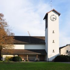
Church building
3.7 kmReviews
Visited this place? Tap the stars to rate it and share your experience / photos with the community! Try now! You can cancel it anytime.
Discover hidden gems everywhere you go!
From secret cafés to breathtaking viewpoints, skip the crowded tourist spots and find places that match your style. Our app makes it easy with voice search, smart filtering, route optimization, and insider tips from travelers worldwide. Download now for the complete mobile experience.

A unique approach to discovering new places❞
— Le Figaro
All the places worth exploring❞
— France Info
A tailor-made excursion in just a few clicks❞
— 20 Minutes