
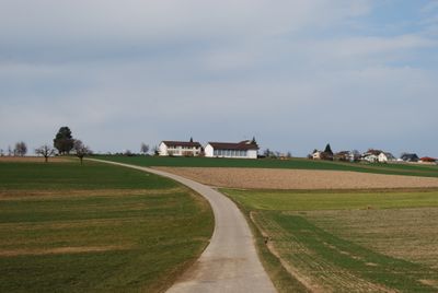
Obersteckholz, former municipality and current district of Langenthal in the canton of Bern, Switzerland
Location: Langenthal
Elevation above the sea: 525 m
GPS coordinates: 47.19972,7.81944
Latest update: March 14, 2025 12:36
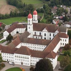
Former St. Urban's Abbey
3.9 km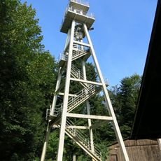
Hohwacht
3.9 km
Grünenberg castle ruin
3.7 km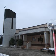
Bruder Klaus church
5.4 km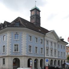
Kunsthaus Langenthal
2.7 km
Stadttheater Langenthal
2.8 km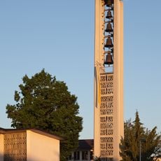
Maria Königin
2.8 km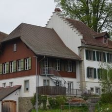
Rectory, pastor's barn and granary of the church
3.6 km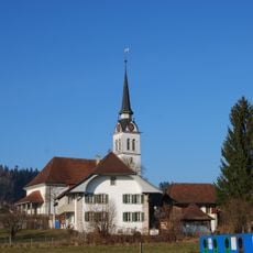
Reformed church and rectory
3.9 km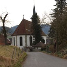
Reformed church, rectory, pastor's barn and granary
3.6 km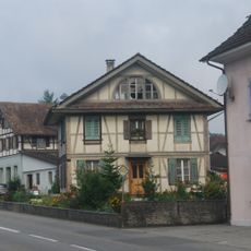
Residential building
3.9 km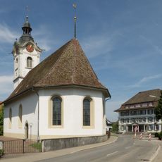
Reformed church
4.5 km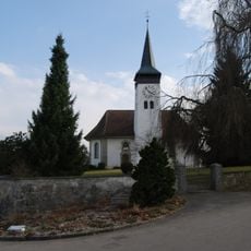
Reformed church with rectory
5 km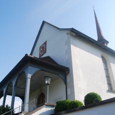
Chapel of St. Anthony of Padua
5.2 km
Formel 1 Museum
2.8 km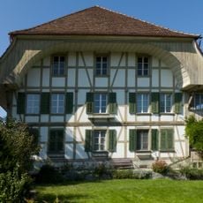
Ingold-Hof farmhouse
2.4 km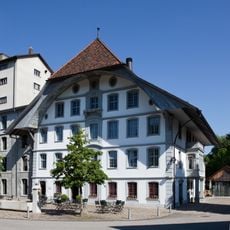
Mill
2.6 km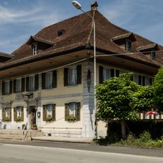
Bären Inn
4.6 km
Graves / settlement area of different epochs
4.2 km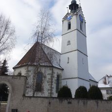
Reformed church
2.4 km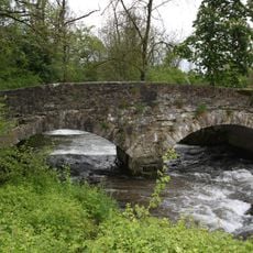
Stone arch bridge over the Langeten
4.7 km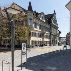
Bären Inn
2.7 km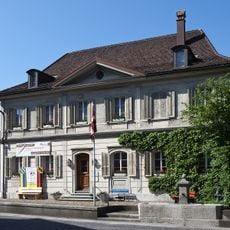
Former official building
2.8 km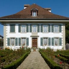
Rectory
2.5 km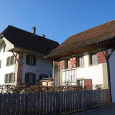
Rectory (1607)
3.9 km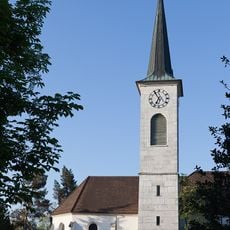
Reformed church
2.4 km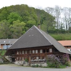
Salzmann House with Stöckli
3.6 km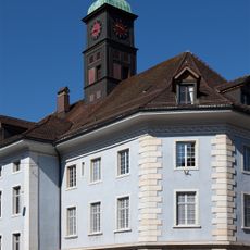
Department Store
2.7 kmReviews
Visited this place? Tap the stars to rate it and share your experience / photos with the community! Try now! You can cancel it anytime.
Discover hidden gems everywhere you go!
From secret cafés to breathtaking viewpoints, skip the crowded tourist spots and find places that match your style. Our app makes it easy with voice search, smart filtering, route optimization, and insider tips from travelers worldwide. Download now for the complete mobile experience.

A unique approach to discovering new places❞
— Le Figaro
All the places worth exploring❞
— France Info
A tailor-made excursion in just a few clicks❞
— 20 Minutes