Enable Location

We need your location to show you interesting places around you

Discover nearby places

Find interesting locations and hidden gems around you

Precise directions

Get accurate directions and distances to places

Your location is never shared with other users. It's only used when you tap the location button.

Langenthal

Log in to your account

Start exploring — it's free

Trusted by 62,234 travelers worldwide

Continue with Google
Continue with Apple
or

We will send you a code to connect

By continuing, you accept our Terms and Conditions and our Privacy Policy

Check your inbox

We've sent a pincode in your inbox. Please enter the code below.

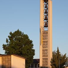
Langenthal, Protected municipality in Oberaargau district, Switzerland

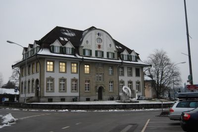
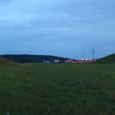
Langenthal is a municipality in Oberaargau that spreads across varied terrain, combining residential areas, industrial zones, and farmland in one place. The town sits along the Langete River and brings together different landscape types within its borders.

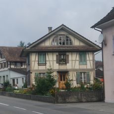
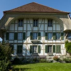
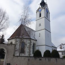
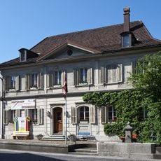
The settlement along the Langete began in the 9th century and shifted from purely agricultural land to a market town by the 16th century. This transformation shaped the town's economic importance that continues today.

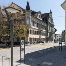
Ceramics belong to Langenthal in a way few crafts do elsewhere - the town remains known for its pottery and people regularly gather at local markets to connect and trade. Visitors see traces of this tradition throughout, from small craft workshops to gatherings of artisans and farmers that shape daily life here.

The town is easy to explore by train since several railway stations connect it to other Swiss cities and visitors find good rail connections. Schools and other facilities help with orientation around the place.

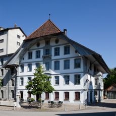
In 2021 the municipality merged with Oberstockholz, enlarging its territory and importance as an economic center in the region. This recent union shows how the place continues to grow and evolve.

The community of curious travelers

AroundUs brings together thousands of curated places, local tips, and hidden gems, enriched daily by 60,000 contributors worldwide.

Start exploring
Location
Location
Elevation above the sea
481 m
Shares border with
Aarwangen, Lotzwil, Bleienbach, Thunstetten, Roggwil
Phone
GPS coordinates
47.21528,7.78889
Latest update
December 20, 2025 12:05
« Langenthal - Protected municipality in Oberaargau district, Switzerland » is provided by Around Us (aroundus.com). Images and texts are derived from Wikimedia project under a Creative Commons license. You are allowed to copy, distribute, and modify copies of this page, under the conditions set by the license, as long as this note is clearly visible.

Discover hidden gems everywhere you go!

From secret cafés to breathtaking viewpoints, skip the crowded tourist spots and find places that match your style. Our app makes it easy with voice search, smart filtering, route optimization, and insider tips from travelers worldwide. Download now for the complete mobile experience.

Around Us App Screenshot

A unique approach to discovering new places

Le Figaro

All the places worth exploring

France Info

A tailor-made excursion in just a few clicks

20 Minutes

Around Us
Travel Guide & Maps
Download

Send to your phone

QR Code
1

Open the camera app on your mobile.

2

Point at the QR code with your camera. A notification will appear.

3

Tap the notification to open the link.