
Reconvilier, municipality in the canton of Bern in Switzerland
Location: Bernese Jura administrative district
Location: Bern
Elevation above the sea: 731 m
Shares border with: Saules
Website: http://reconvilier.ch
GPS coordinates: 47.23611,7.22222
Latest update: March 2, 2025 20:07
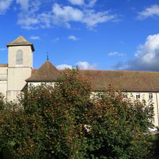
Former premonstratensian abbey and abbey church
5.1 km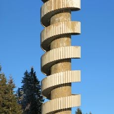
Tour de Moron
4.5 km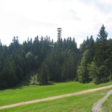
Moron
4.3 km
Montoz
4.5 km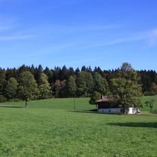
Montbautier
4.4 km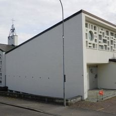
Nicholas of Flüe church
7.3 km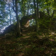
Ruine Châtillon
5.5 km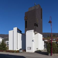
Saint-Georges
4 km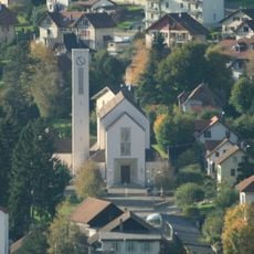
Christ-Roi church
2.5 km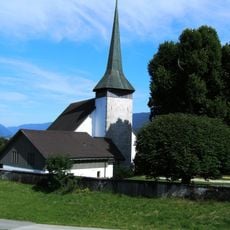
Reformed parish church St-Léonard of Chaindon
801 m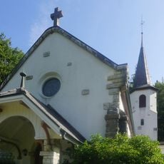
Chapel St. Marie Péry
5.5 km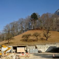
Ruine Rondchâtel
7.1 km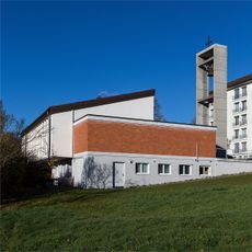
Holy Family chapel
658 m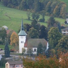
Temple, Tavannes
2.1 km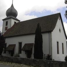
Reformed church
4.3 km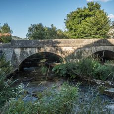
Stone bridge
7.5 km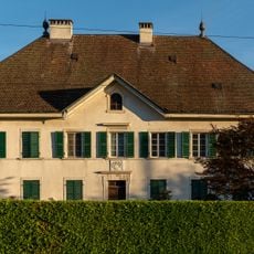
House of the doyen Morel
7.4 km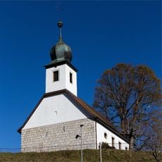
Reformed church
4.6 km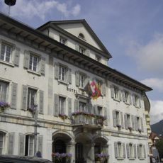
City hall
2.5 km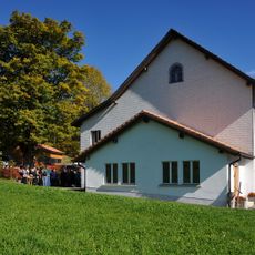
Archives and library of the Swiss mennonite conference
5.8 km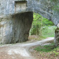
Pierre Pertuis, carved passage with Roman inscription
3.3 km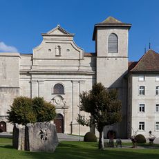
Former abbey church
5.1 km
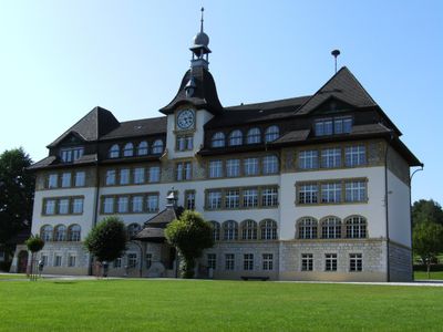
Former school building
3.1 km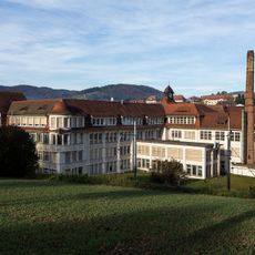
Industrial District (Ébauches Tavannes SA, Tavannes Machines SA, Zampa SA)
2.1 km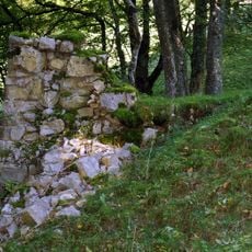
Le Van, verrerie médiévale / mittelalterliche Glashütte
4.3 km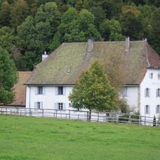
Hotel de l’Ours
5.1 km
Forêts du Beucle, medieval iron mine
4.1 km
Elementary school
76 mVisited this place? Tap the stars to rate it and share your experience / photos with the community! Try now! You can cancel it anytime.
Discover hidden gems everywhere you go!
From secret cafés to breathtaking viewpoints, skip the crowded tourist spots and find places that match your style. Our app makes it easy with voice search, smart filtering, route optimization, and insider tips from travelers worldwide. Download now for the complete mobile experience.

A unique approach to discovering new places❞
— Le Figaro
All the places worth exploring❞
— France Info
A tailor-made excursion in just a few clicks❞
— 20 Minutes