
Unterbäch, municipality in the canton of Valais, Switzerland
Location: Westlich Raron District
Location: Valais
Elevation above the sea: 1,193 m
Website: http://unterbaech.ch
GPS coordinates: 46.26667,7.78333
Latest update: March 2, 2025 22:59

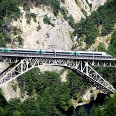
Bietschtal viaduct BLS
6.7 km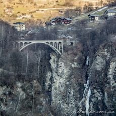
Merjen bridge
7.6 km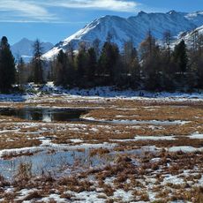
Augstbordhorn
4.4 km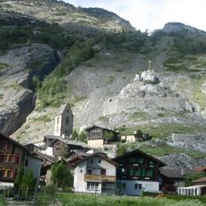
Gestelnburg
5.2 km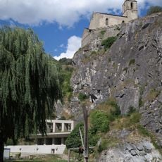
St-Michael church
5.1 km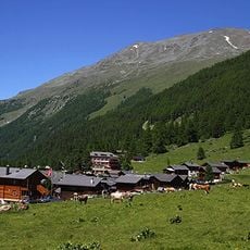
Gruben/Meiden
8.6 km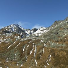
Steitalhorn
7.2 km
Wyssegga
8 km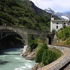
Ritti bridge
7.4 km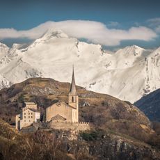
St-Roman church with old rectory
5.1 km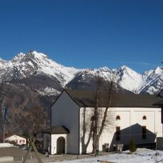
Holy Trinity church
2.4 km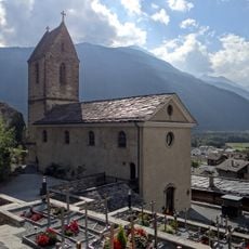
St. Maria church with ossuary
5.2 km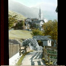
Kirche St. Josef
7.4 km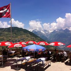
Hohtschugge
8.1 km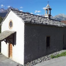
Kapelle St. Sebastian
4.6 km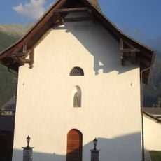
Old chapel
7 km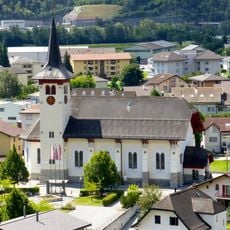
Holy Family church
6.1 km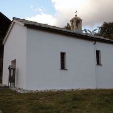
Mother of God chapel
3 km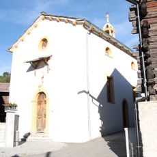
Josefskapelle
3 km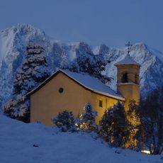
Nothelfer chapel on the Biel
6.3 km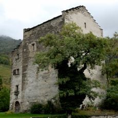
Viztume residential tower
5.2 km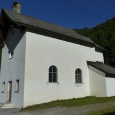
Holy Family chapel
8.7 km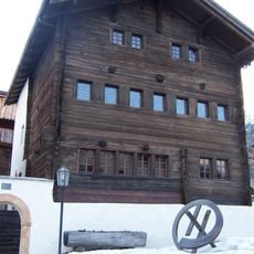
Old town hall
2.3 km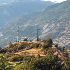
IIron age hilltop settlement
3.5 km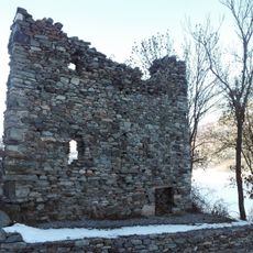
Burgruine Steinhaus und sogenanntes Zwingherrenschloss
2.8 km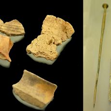
Kastel, bronzezeitliche Höhensiedlung
5.7 km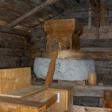
Mill and roller
5.5 km
Maxen house
5.2 kmVisited this place? Tap the stars to rate it and share your experience / photos with the community! Try now! You can cancel it anytime.
Discover hidden gems everywhere you go!
From secret cafés to breathtaking viewpoints, skip the crowded tourist spots and find places that match your style. Our app makes it easy with voice search, smart filtering, route optimization, and insider tips from travelers worldwide. Download now for the complete mobile experience.

A unique approach to discovering new places❞
— Le Figaro
All the places worth exploring❞
— France Info
A tailor-made excursion in just a few clicks❞
— 20 Minutes