
Henggart, municipality in the canton of Zürich, Switzerland
Location: Andelfingen District
Location: Zürich
Elevation above the sea: 440 m
Website: http://henggart.ch
GPS coordinates: 47.56500,8.68556
Latest update: March 3, 2025 02:33
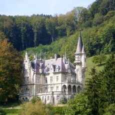
Wart Castle
5.3 km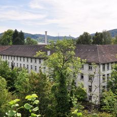
Spinning mill Hard
5.3 km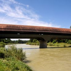
Thurbrücke Andelfingen
3.6 km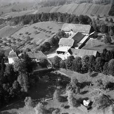
Schloss Goldenberg
2.5 km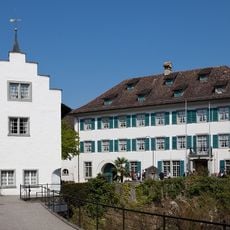
Andelfingen Castle
3.5 km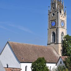
Reformierte Kirche Andelfingen
3.4 km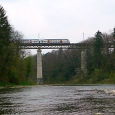
Thurbrücke Andelfingen
3.7 km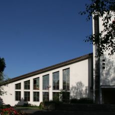
Plazidus Sigisbert Kleinandelfingen
4.2 km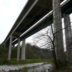
Weinlandbrücken
3.6 km
St. Martin
5.3 km
Seuzach
4.6 km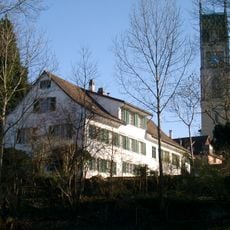
Burgstelle Andelfingen
3.5 km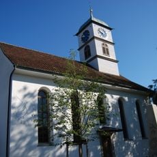
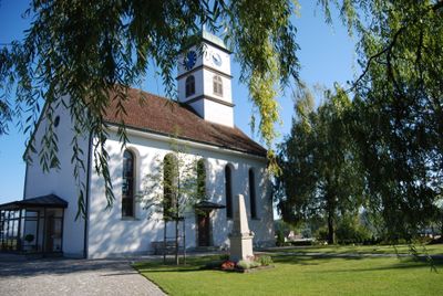
Reformed church with tomb of Captain Heinrich Frauenfelder
309 m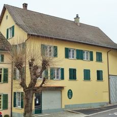
Lindenmühle
3.4 km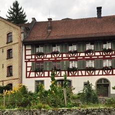
Haldenmühle
3.5 km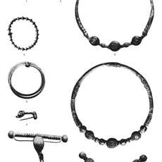
Gräberfeld Andelfingen
3.3 km
Volken
4.7 km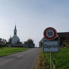
Reformierte Kirche Dägerlen
2.8 km
Reformierte Kirche Seuzach
4.6 km
Reformed church
4.3 km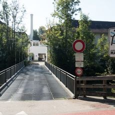
Hard-Brücke (Brücke-zur-Fabrik-in-der-Hard)
5.3 km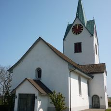
Reformed church
5.1 km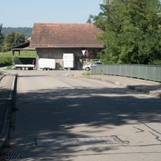
Hardgutstrasse-Brücke (Zufahrtsbrücke-zur-Kläranlage-Hard)
5.4 km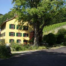
Country house Talgut with Trotte
5.7 km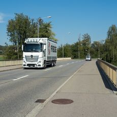
Weiacherstrasse-Brücke (Weiachstrasse)
5.7 km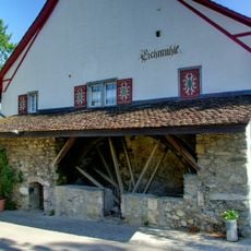
Eichmühle
2.8 km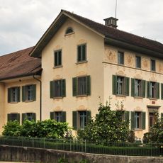
Wohnhaus zur Friedau
3.7 km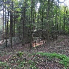
Earthworks
376 mVisited this place? Tap the stars to rate it and share your experience / photos with the community! Try now! You can cancel it anytime.
Discover hidden gems everywhere you go!
From secret cafés to breathtaking viewpoints, skip the crowded tourist spots and find places that match your style. Our app makes it easy with voice search, smart filtering, route optimization, and insider tips from travelers worldwide. Download now for the complete mobile experience.

A unique approach to discovering new places❞
— Le Figaro
All the places worth exploring❞
— France Info
A tailor-made excursion in just a few clicks❞
— 20 Minutes