
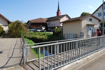
Waltenschwil, municipality in the canton of Aargau in Switzerland
Location: Muri District
Elevation above the sea: 426 m
Part of: RPV Unteres Bünztal, RPV Oberes Freiamt
Website: http://waltenschwil.ch
GPS coordinates: 47.33583,8.30528
Latest update: March 13, 2025 05:46
High school
3.4 km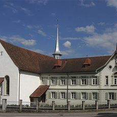
Church of the former capuchin monastery
3 km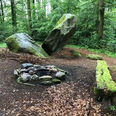
Bettlerstein
1.1 km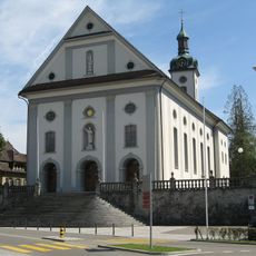
Catholic parish church St. Leonhard
2.7 km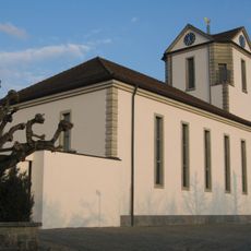
Reformed church
2.9 km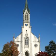
St. George roman catholic parish church
3.2 km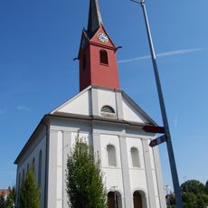
Roman-catholic church
307 m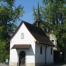
St. Anne chapel
2.9 km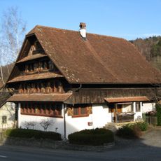
Koch house
3 km
Mariä Krönung Chapel
3.2 km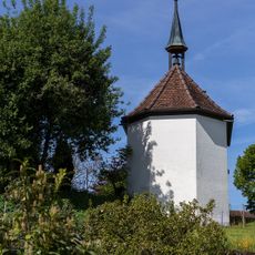
Emergency helper chapel
3.4 km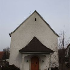
St. John's chapel
3 km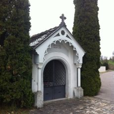
St. Anna chapel
3.1 km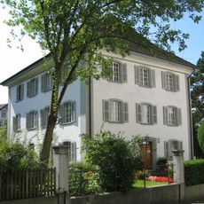
Roman catholic rectory
2.7 km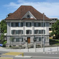
Emanuel Isler House with garden house
2.8 km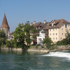
City fortifications (city wall, Hexenturm, Hermannsturm, Meiss-/Katzenturm, Spittelturm, Bollhaus)
3 km
Farmhouse Unterniesenberg
3.8 km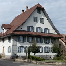
Former inn
3 km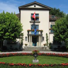
Isler Villa
2.8 km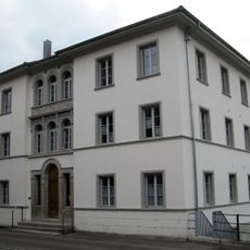
Former factory building of the Isler company
2.7 km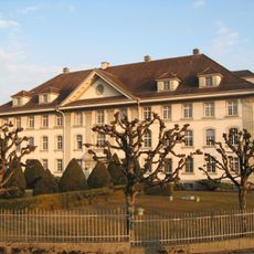
Georges Meyer AG administrative building
2.8 km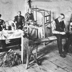
Straw Museum in the Park
2.8 km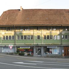
"zum Rössli" Inn
2.6 km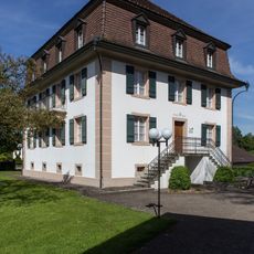
Freienhof
3.1 km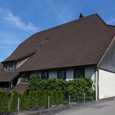
Farmhouse (17th century)
3.4 km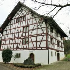
Former infirmary
2.8 km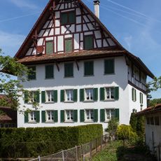
Fähnrich house
1.1 km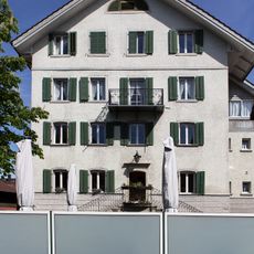
Zum Hirschen Inn
3.3 kmVisited this place? Tap the stars to rate it and share your experience / photos with the community! Try now! You can cancel it anytime.
Discover hidden gems everywhere you go!
From secret cafés to breathtaking viewpoints, skip the crowded tourist spots and find places that match your style. Our app makes it easy with voice search, smart filtering, route optimization, and insider tips from travelers worldwide. Download now for the complete mobile experience.

A unique approach to discovering new places❞
— Le Figaro
All the places worth exploring❞
— France Info
A tailor-made excursion in just a few clicks❞
— 20 Minutes