
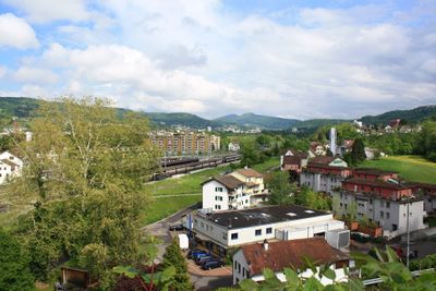
Turgi, municipality in Switzerland
Location: Aargau
Location: Baden District
Elevation above the sea: 337 m
Part of: RPV Baden Regio
Shares border with: Baden, Gebenstorf, Untersiggenthal, Obersiggenthal
Website: http://turgi.ch
GPS coordinates: 47.49457,8.25272
Latest update: March 3, 2025 00:56
Sperrstelle Gebenstorf
819 m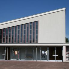
Reformed parish church and rectory
225 m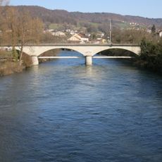
Railway bridge Turgi-Untersiggenthal
301 m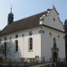
Maria-Wyl pilgrimage chapel
2.9 km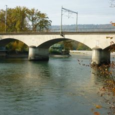
Eisenbahnbrücke Windisch
1.2 km
Evangelical reformed church
477 m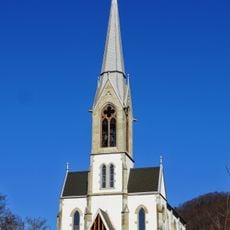
Reformed Church
1.6 km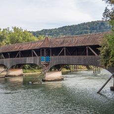
Holzbrücke Ennetturgi
139 m
Reformed rectory Gebenstorf
1.6 km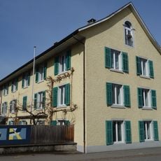
Kosthaus Langhaus
91 m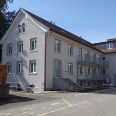
Former Bebié administration building
115 m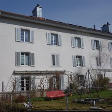
Kosthaus
90 m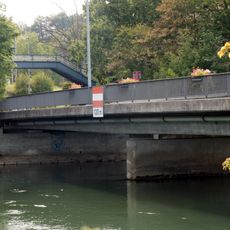
Limmatbrücke Turgi (Schöneggstrasse)
503 m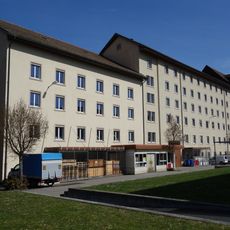
Former Kappeler-Bebié cotton mill
221 m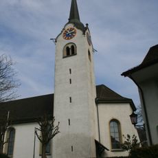
Roman catholic parish church
1.6 km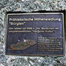
Pagan kitchen, Neolithic/Bronze Age settlement
1.3 km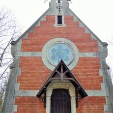
St. Ludwig chapel
506 m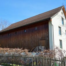
Former cotton warehouse of the spinning mill
109 m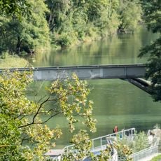
ARA Turgi Wasserleitungsbrücke
1.6 km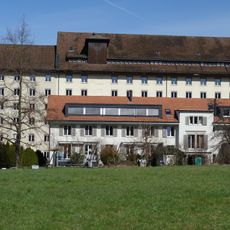
Former Kappeler administration building
227 m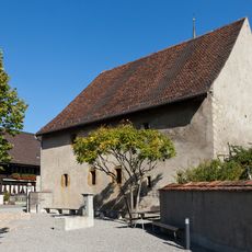
Tithe Barn
1.6 km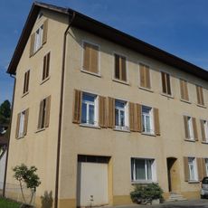
Old schoolhouse
813 m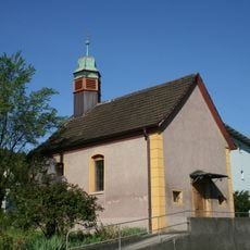
Antonius chapel
1.2 km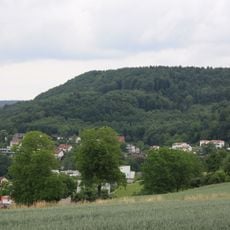
Horn of Gebenstorf, rampart (chronology not known)
974 m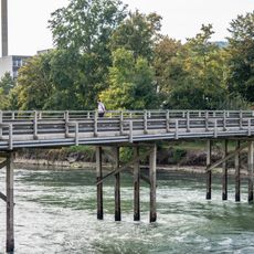
Aubrücke (Steigstrasse)
127 m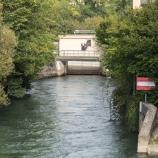
Kraftwerk Turgi Insel-Brücke (Kraftwerkkanal)
184 m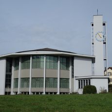
Catholic parish church
476 m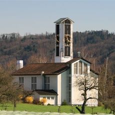
Church building
932 mVisited this place? Tap the stars to rate it and share your experience / photos with the community! Try now! You can cancel it anytime.
Discover hidden gems everywhere you go!
From secret cafés to breathtaking viewpoints, skip the crowded tourist spots and find places that match your style. Our app makes it easy with voice search, smart filtering, route optimization, and insider tips from travelers worldwide. Download now for the complete mobile experience.

A unique approach to discovering new places❞
— Le Figaro
All the places worth exploring❞
— France Info
A tailor-made excursion in just a few clicks❞
— 20 Minutes