
Ferreyres, municipality in Switzerland
Location: canton Vaud
Location: Morges District
Elevation above the sea: 560 m
Website: http://ferreyres.ch
GPS coordinates: 46.66667,6.48333
Latest update: March 10, 2025 15:56
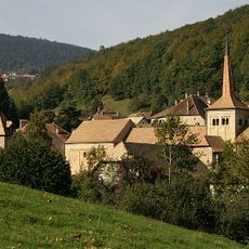
Romainmôtier church
3.4 km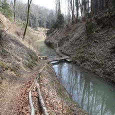
Canal d'Entreroches
5.3 km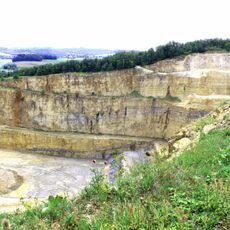
Mormont
4.3 km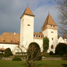
La Sarraz Castle
2.5 km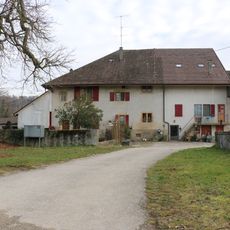
Former commandry
5.1 km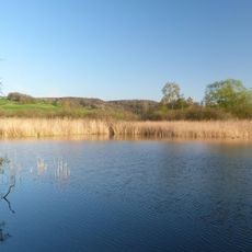
Étang des Puits
5.5 km
Cromlech, megalithic complex of unknown date
4 km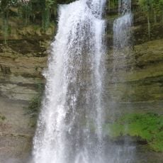
Cascade du Dard
1.8 km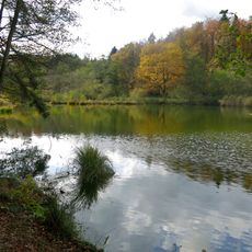
Étang du Sépey
5.7 km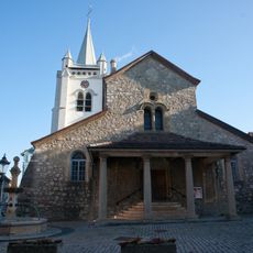
Saint-Pierre and Saint-Paul reformed church
6.2 km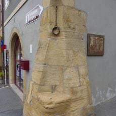
Pillory
2.5 km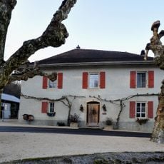
House of the lock keeper of the canal of Entreroches
4.8 km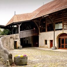
Horse museum in the castle
2.5 km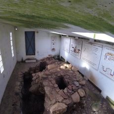
Iron age and early medieval ironworks
710 m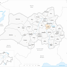
Lussery
5.1 km
Château with outbuildings
6.2 km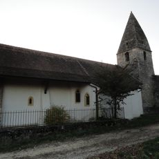
Église Notre-Dame
3.2 km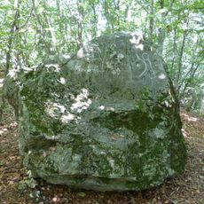
Pierre des Gottettes
2.1 km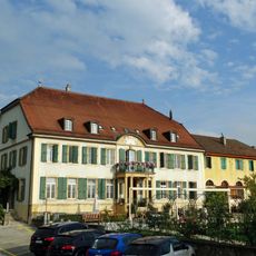
Château d'Orny
3.2 km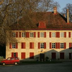
D'En-Haut château
3.5 km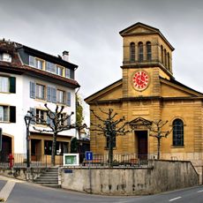
St-Antoine chapel, known as the Jacquemart
2.5 km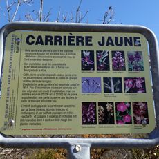
Yellow Quarry
362 m
Former Hôtel du Cerf
6.2 km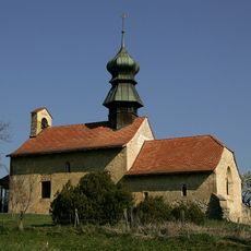
Reformed church
5.1 km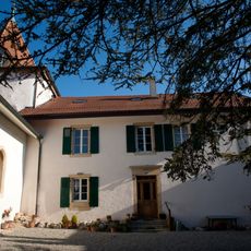
Saint-Martin reformed church
6.8 km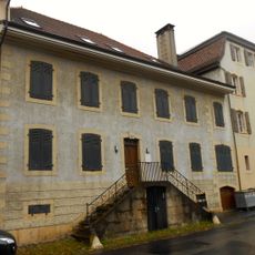
House Alberto Sartoris (building)
6.1 km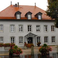
Cossonay municipal archive
6.2 km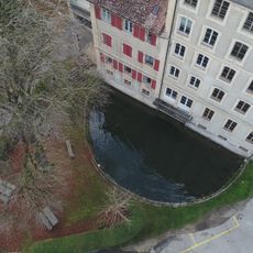
Moulin Bornu
2.4 kmVisited this place? Tap the stars to rate it and share your experience / photos with the community! Try now! You can cancel it anytime.
Discover hidden gems everywhere you go!
From secret cafés to breathtaking viewpoints, skip the crowded tourist spots and find places that match your style. Our app makes it easy with voice search, smart filtering, route optimization, and insider tips from travelers worldwide. Download now for the complete mobile experience.

A unique approach to discovering new places❞
— Le Figaro
All the places worth exploring❞
— France Info
A tailor-made excursion in just a few clicks❞
— 20 Minutes