
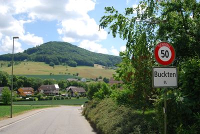
Buckten, municipality in Switzerland
Location: Basel-Landschaft
Location: Sissach District
Elevation above the sea: 482 m
Website: http://www.buckten.ch
Shares border with: Känerkinden, Wittinsburg, Rümlingen, Häfelfingen, Läufelfingen
Website: http://buckten.ch
GPS coordinates: 47.40972,7.84472
Latest update: March 6, 2025 05:05
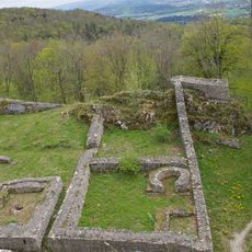
Frohburg Castle
4.8 km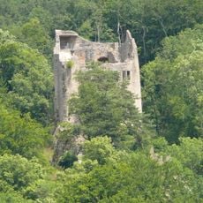
Homburg Ruin
1.1 km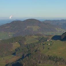
Wisenberg
2.9 km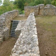
Castle ruin Scheidegg
4.9 km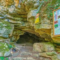
Bruderloch
5.4 km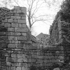
Ruins Ödenburg
5.2 km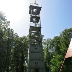
Wisenbergturm
2.9 km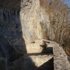
Höhlenburg Riedfluh
3.3 km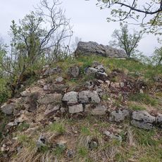
Ränggen Castle
3.4 km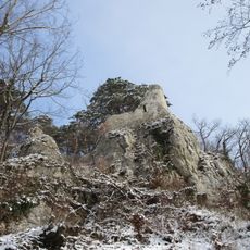
Burgruine Witwald
2.7 km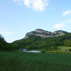
Geissflue
5 km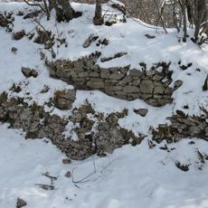
Burgruine Alt-Wildeptingen
2.7 km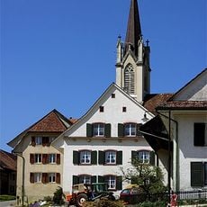
St. Martin Church
4.4 km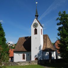
Protestant reformed Church of St. Martin
4.9 km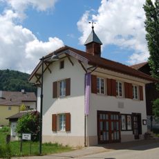
Walter-Eglin-Museum Känerkinden
713 m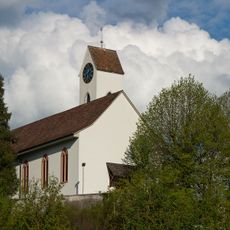
Evangelical Reformed Church
2.6 km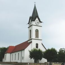
St. Catherine parish church
4.1 km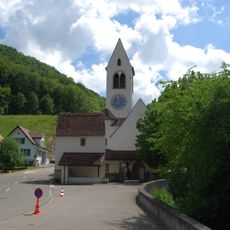
Evangelical Reformed Church with rectory and tithe storehouse (former ossuary)
1.7 km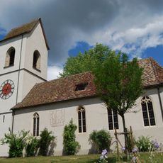
Evangelical Reformed Church with Rectory and Sigrist's House
1.7 km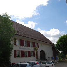
Restaurant zur Sonne with barn
4.2 km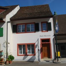
Village museum Bennwil
4.9 km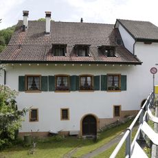
Ehemalige Mühle
1.6 km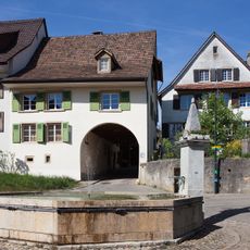
Village square fountain
6 km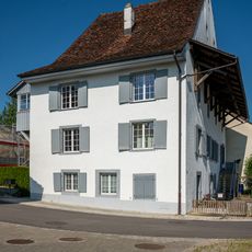
Under Bailiff's House
726 m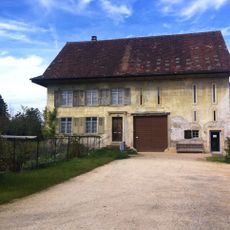
Jundt House
6 km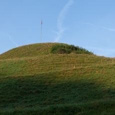
Zunzger Büchel, Erdwerk
5 km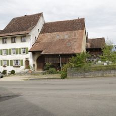
Farmhouse
4.1 km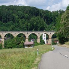
Viaduct of Rümlingen
1.7 kmReviews
Visited this place? Tap the stars to rate it and share your experience / photos with the community! Try now! You can cancel it anytime.
Discover hidden gems everywhere you go!
From secret cafés to breathtaking viewpoints, skip the crowded tourist spots and find places that match your style. Our app makes it easy with voice search, smart filtering, route optimization, and insider tips from travelers worldwide. Download now for the complete mobile experience.

A unique approach to discovering new places❞
— Le Figaro
All the places worth exploring❞
— France Info
A tailor-made excursion in just a few clicks❞
— 20 Minutes