
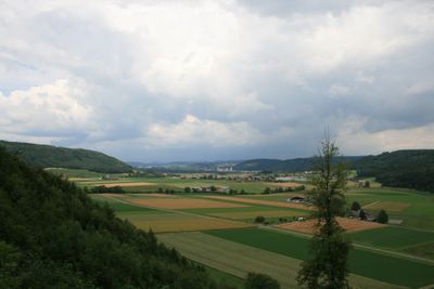
Riniken, municipality in the canton of Aargau in Switzerland
Location: Brugg District
Elevation above the sea: 392 m
Part of: RPV Brugg Regio
Shares border with: Bözberg, Remigen, Rüfenach, Brugg
Website: https://riniken.ch
GPS coordinates: 47.49556,8.18750
Latest update: March 6, 2025 12:21
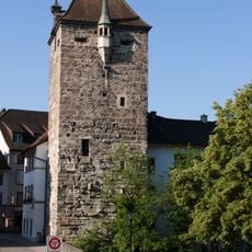
Brugg Black Tower
1.8 km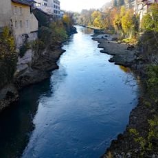
Aare canyon in Brugg
1.6 km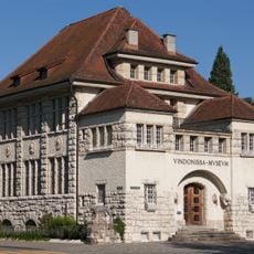
Vindonissa museum (building)
1.8 km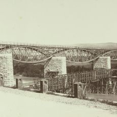
Eisenbahnbrücke Brugg-Umiken
1.5 km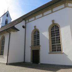
Reformed city church
1.8 km
Iberg castle ruin
1.1 km
Mühlehalde terraced housing estate
1.3 km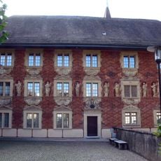
Former Latin school
1.8 km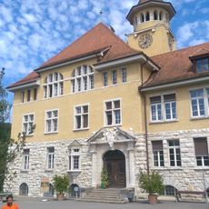
Stapfer school house
1.8 km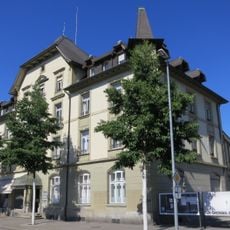
Former old post
1.9 km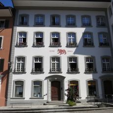
Zum Roten Bären, Brugg
1.9 km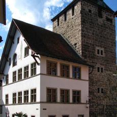
Former city hall
1.8 km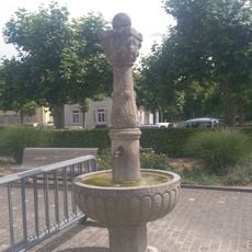
Rifleman's fountain
1.9 km
Zum Pfauen
1.9 km
Frölich house
1.8 km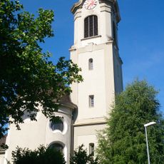
St. Nikolaus catholic church
2 km
Aarebrücke beim Schwarzen Turm
1.8 km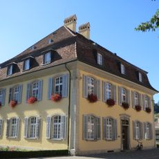
City hall with pavilion
2 km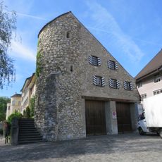
Storchenturm
1.9 km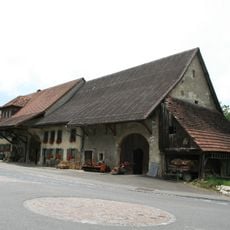
Farmhouse, 1794
198 m
Schilplin House
1.8 km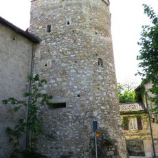
City fortification (color tower, city walls suburb)
1.7 km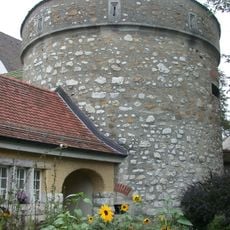
Archives tower
1.8 km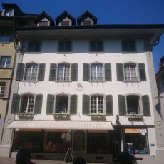
Zulauf House
1.9 km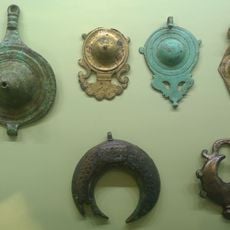
Vindonissa museum (collection)
1.9 km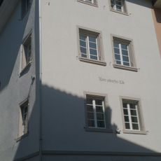
Zum Scharfen Eck
1.9 km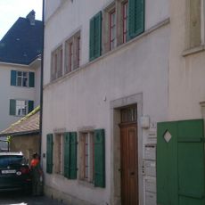
Former dye works
1.8 km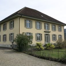
Cantonal child observation station
1.8 kmVisited this place? Tap the stars to rate it and share your experience / photos with the community! Try now! You can cancel it anytime.
Discover hidden gems everywhere you go!
From secret cafés to breathtaking viewpoints, skip the crowded tourist spots and find places that match your style. Our app makes it easy with voice search, smart filtering, route optimization, and insider tips from travelers worldwide. Download now for the complete mobile experience.

A unique approach to discovering new places❞
— Le Figaro
All the places worth exploring❞
— France Info
A tailor-made excursion in just a few clicks❞
— 20 Minutes