
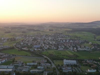
Steinhausen, municipality in the canton of Zug, Switzerland
Location: Zug
Elevation above the sea: 427 m
Shares border with: Baar, Cham, Kappel am Albis, Knonau, Zug
Website: http://steinhausen.ch
GPS coordinates: 47.19694,8.48611
Latest update: March 7, 2025 23:02
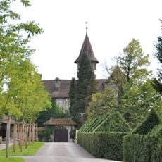
St. Andreas Castle
2.5 km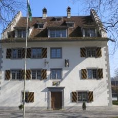
Château Knonau
3.3 km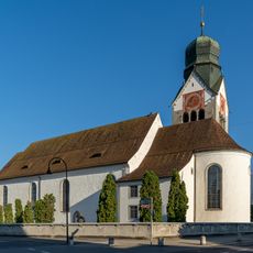
St. Martin's catholic church with St. Anne's ossuary
2.8 km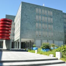
Staatsarchiv Zug
3.1 km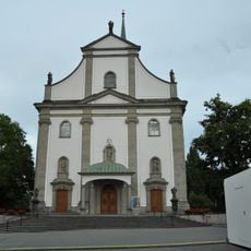
St. Jakob catholic church
2.8 km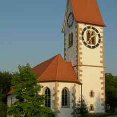
Reformed church
3.5 km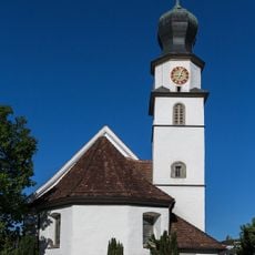
St. Matthias parish church with ossuary
133 m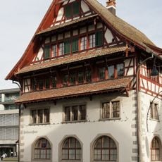
Rathaus Baar
3.1 km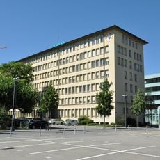
Headquarters of Landis & Gyr
3.2 km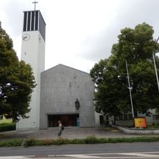
Good Shepherd church
3.3 km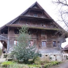
Baaregg, ehem. Hofgut (1512, um 1720) des Klosters Kappel
2.2 km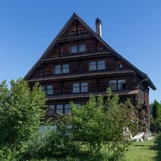
Farmhouse with former nail smithy
669 m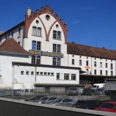
Untermühle
3 km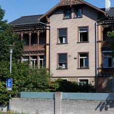
Colonial-style houses
3.1 km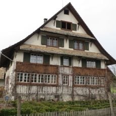
Rossau farm, residential house with annexes
3.4 km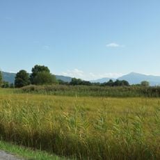
Sumpf, Zug
1.7 km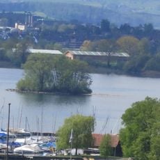
Galgen, Jungstein- und bronzezeitliche Seeufersiedlungen, Chamer Fussweg
2 km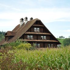
Residential house (insurance no. 196a) with floor and barn
3.2 km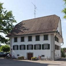
Bäni house
2.8 km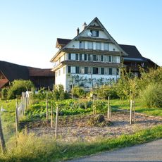
Residential house (insurance no. 49a)
1.5 km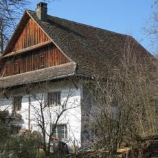
Ehemaliges Untervogthaus / Meyerhaus
3.5 km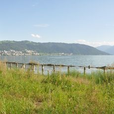
Riedmatt
2.2 km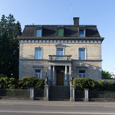
Nestlé house with gatehouse
2.6 km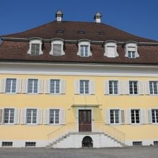
St. Annen-Asyl
3.1 km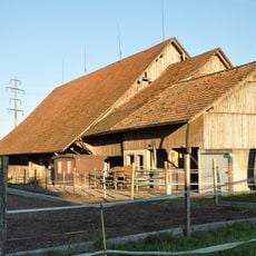
Stable barn (insurance no. 110b)
3.1 km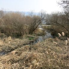
Schützenmatt/Schutzengel, Jungsteinzeitliche Seeufersiedlungen, Chamerstrasse
3.2 km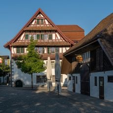
Rathausscheune
3.1 km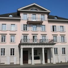
Platanenhof
3.3 kmReviews
Visited this place? Tap the stars to rate it and share your experience / photos with the community! Try now! You can cancel it anytime.
Discover hidden gems everywhere you go!
From secret cafés to breathtaking viewpoints, skip the crowded tourist spots and find places that match your style. Our app makes it easy with voice search, smart filtering, route optimization, and insider tips from travelers worldwide. Download now for the complete mobile experience.

A unique approach to discovering new places❞
— Le Figaro
All the places worth exploring❞
— France Info
A tailor-made excursion in just a few clicks❞
— 20 Minutes