
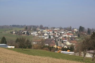
Dürrenäsch, municipality in Switzerland
Location: Kulm District
Elevation above the sea: 554 m
Website: https://www.duerrenaesch.ch
Part of: RPV Lebensraum Lenzburg Seetal, RPV aargauSüd impuls
Website: https://duerrenaesch.ch
GPS coordinates: 47.32194,8.15694
Latest update: March 10, 2025 11:13
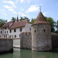
Hallwyl Castle
2.8 km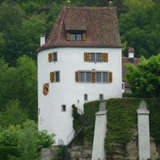
Trostburg Castle
3.1 km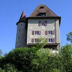
Liebegg Castle
3.4 km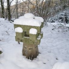
Siebenzwingstein
1.8 km
Museum of Witchcraft Switzerland
3.4 km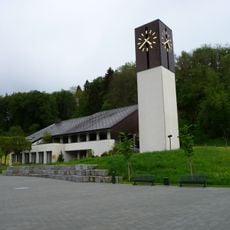
Kirche Teufenthal
3 km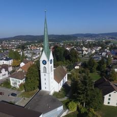
Evangelical reformed parish church
2.7 km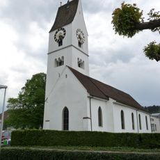
Reformed church
3.4 km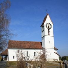
Reformed church Leutwil
1.9 km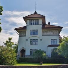
Fischer house (former Gautschi villa)
2.3 km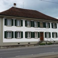
City hall
3.4 km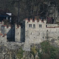
Trostburg, medieval castle ruin
3.1 km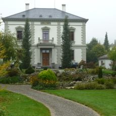
Villa Walti
2.8 km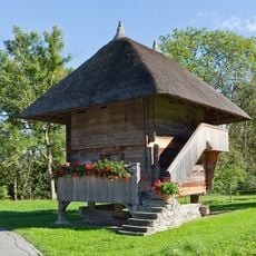
Granary
3.9 km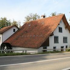
Schlossmühle
2.8 km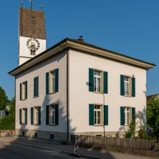
Parish hall, shed and fountain
3.3 km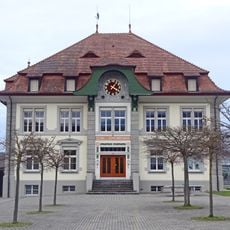
Schoolhouse
1.7 km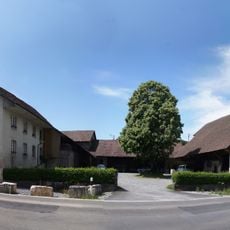
Former mill
2.2 km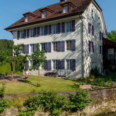
Residential house of the former mill
3.9 km
Guesthouse to the Inn
3.3 km
Baumann farmhouse
1.7 km
Schoolhouse (1841/1929)
2.6 km
Local museum Seon
2.7 km
School house
3.8 km
So-called Lindenhof
3.7 km
School house
3.4 km
So-called Statthalterhaus
3.7 km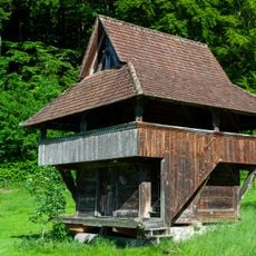
Granary at the agricultural school
3.2 kmReviews
Visited this place? Tap the stars to rate it and share your experience / photos with the community! Try now! You can cancel it anytime.
Discover hidden gems everywhere you go!
From secret cafés to breathtaking viewpoints, skip the crowded tourist spots and find places that match your style. Our app makes it easy with voice search, smart filtering, route optimization, and insider tips from travelers worldwide. Download now for the complete mobile experience.

A unique approach to discovering new places❞
— Le Figaro
All the places worth exploring❞
— France Info
A tailor-made excursion in just a few clicks❞
— 20 Minutes