
Matzingen, municipality in Switzerland
Location: Thurgau
Location: Frauenfeld District
Elevation above the sea: 450 m
Shares border with: Aadorf, Frauenfeld, Stettfurt, Thundorf, Wängi
Website: http://matzingen.ch
GPS coordinates: 47.51972,8.93250
Latest update: March 11, 2025 07:07
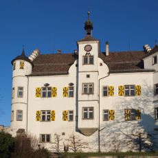
Sonnenberg Castle
2.4 km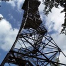
Stählibuckturm
3.3 km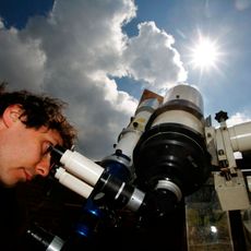
Sternwarte Oberherten
4 km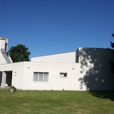
Katholische Kirche St. Josef
186 m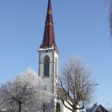
Reformed church
1.7 km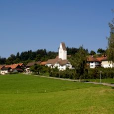
St. Peter reformed church
3.8 km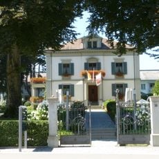
Friedau Villa
4.4 km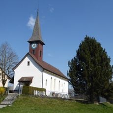
St. Michael
2.6 km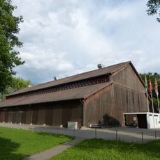
Festhütte Frauenfeld
4.1 km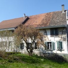
Farmhouse
2.8 km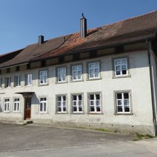
Farmhouse / former Inn Zum Tannenbaum
2.3 km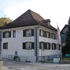
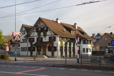
Municipal hall, former restaurant Kreuzstrasse
1.8 km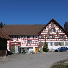
Spruchhaus farmhouse
2.6 km
Gasthaus zur Kreuzstrasse
1.7 km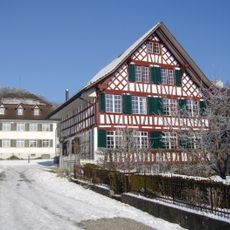
Residential building, former Messmerhaus
1.7 km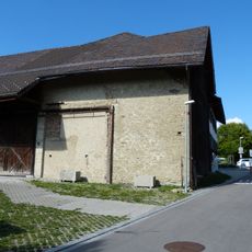
Speicher Thundorferstrasse 138
3.2 km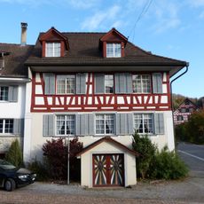
Haus Wüthrich
1.8 km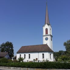
Evangelisch-reformierte Kirche Matzingen
47 m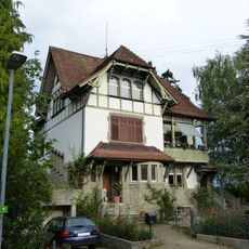
Haus An der Halde
4.2 km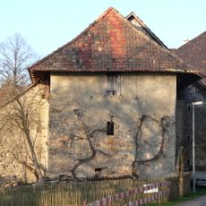
Trotte/Speicher Huben
3.2 km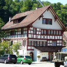
Aumühle Frauenfeld
3.4 km
Farmhouse
2.3 km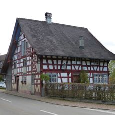
Haus Lydiaheim
1.8 km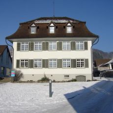
Elementary school house
1.8 km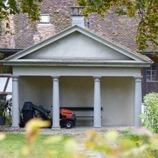
Garden house
1.7 km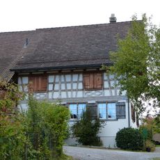
Farmhouse
1.8 km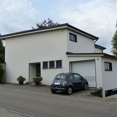
Haus Franzosenweg 10
4 km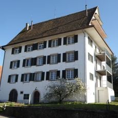
Schloss Wittenwil
2 kmVisited this place? Tap the stars to rate it and share your experience / photos with the community! Try now! You can cancel it anytime.
Discover hidden gems everywhere you go!
From secret cafés to breathtaking viewpoints, skip the crowded tourist spots and find places that match your style. Our app makes it easy with voice search, smart filtering, route optimization, and insider tips from travelers worldwide. Download now for the complete mobile experience.

A unique approach to discovering new places❞
— Le Figaro
All the places worth exploring❞
— France Info
A tailor-made excursion in just a few clicks❞
— 20 Minutes