
Sarmenstorf, municipality in the canton of Aargau in Switzerland
Location: Bremgarten District
Elevation above the sea: 539 m
Part of: RPV Lebensraum Lenzburg Seetal, RPV Unteres Bünztal
Shares border with: Bettwil, Seengen, Meisterschwanden, Hilfikon, Uezwil, Büttikon
Website: https://sarmenstorf.ch
GPS coordinates: 47.31222,8.25000
Latest update: April 2, 2025 18:19
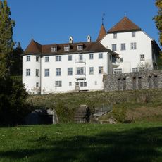
Brestenberg Castle
3.3 km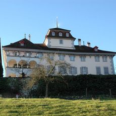
Castle with chapel
2.1 km
Riesi
3.6 km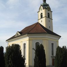
Reformed church
2.2 km
Seerose; Neolithic lakeside settlement
3.7 km
Roman estate
1.6 km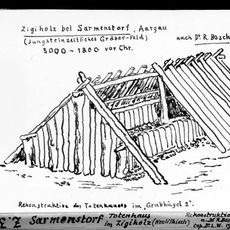
Zigiholz, Neolithic burial mound group
1.1 km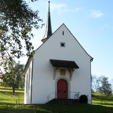
Martin chapel
4.3 km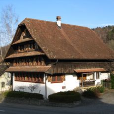
Koch house
2 km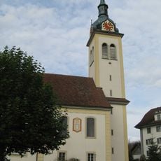
Heilig Kreuz catholic church
179 m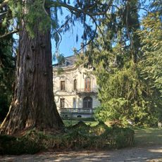
Villa Fischer
2.4 km
Mariä Krönung Chapel
2 km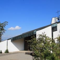
Muttergottes chapel
2.7 km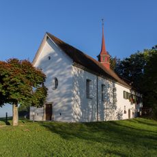
St. Wendolin Chapel
637 m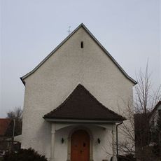
St. John's chapel
2.1 km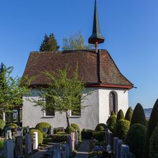
Nothelferkapelle, former charnel house chapel
3.8 km
Farmhouse Unterniesenberg
3 km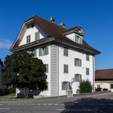
Roman catholic rectory
218 m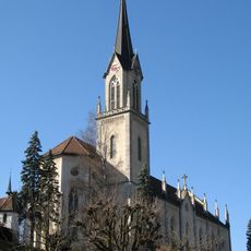
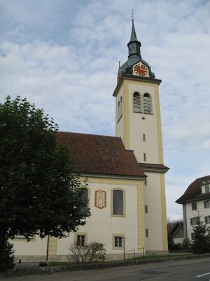
Catholic parish church
3.8 km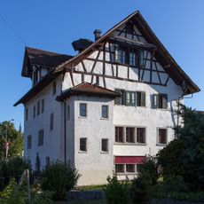
Zum Wilden Mann Inn
227 m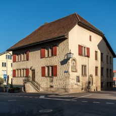
Restaurant "Zum Burgturm"
3.8 km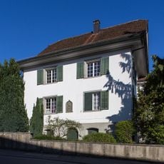
Chaplaincy of Our Lady
3.9 km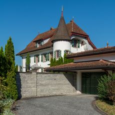
Neuhaus
3.4 km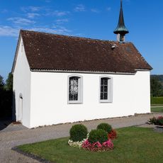
Ossuary
188 m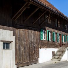
"Zur Arche" house, former baliff house
3.3 km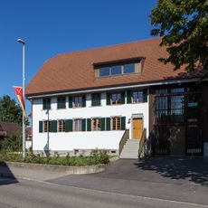
Multipurpose building
314 m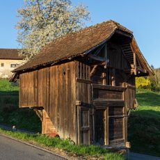
Granary 1773
2.1 km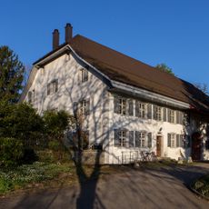
Former Gasthaus zum Elefant
2 kmVisited this place? Tap the stars to rate it and share your experience / photos with the community! Try now! You can cancel it anytime.
Discover hidden gems everywhere you go!
From secret cafés to breathtaking viewpoints, skip the crowded tourist spots and find places that match your style. Our app makes it easy with voice search, smart filtering, route optimization, and insider tips from travelers worldwide. Download now for the complete mobile experience.

A unique approach to discovering new places❞
— Le Figaro
All the places worth exploring❞
— France Info
A tailor-made excursion in just a few clicks❞
— 20 Minutes