
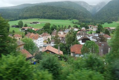
Villeret, municipality in the canton of Bern, Switzerland
Location: Bernese Jura administrative district
Elevation above the sea: 740 m
Shares border with: Nods
Website: https://villeret.ch
GPS coordinates: 47.15944,7.01944
Latest update: March 22, 2025 03:54
Chasseral
4.2 km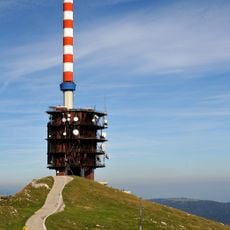
Sendeanlage Nods Chasseral
4.3 km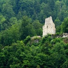
Erguel Castle
4.1 km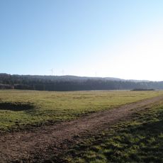
Montagne du Droit
5 km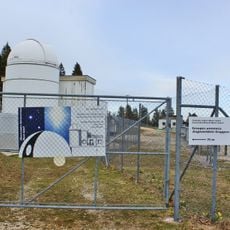
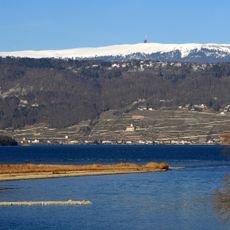
Observatoire Astronomique de Mont-Soleil
2.3 km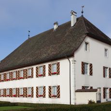
Courtelary Castle
4.7 km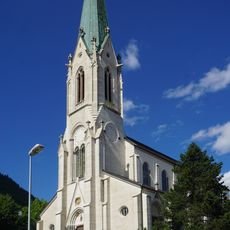
Église Saint-Martin de Saint-Imier
1.6 km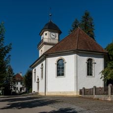
Eglise paroissiale réformée
4.7 km
Métairie de l'Isle
5.9 km
Petite Douanne
5.2 km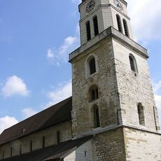
Collégiale
1.9 km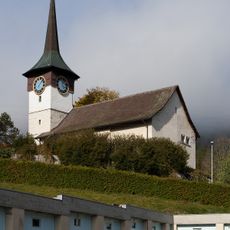
Reformed church
4.4 km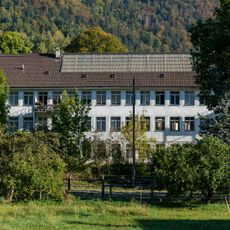
Factory Omega 5 / Cortébert Watch Co.
7.5 km
Métairie du Milieu de Bienne
5.7 km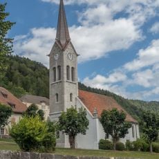
Reformed church
7.7 km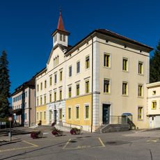
Schoolhouse and municipal administration (1874)
4.8 km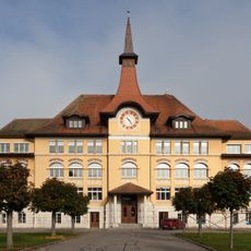
College
4.9 km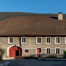
Former farmouse (1809)
7.2 km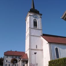
Saint-Joseph church
6.1 km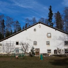
Du Peu-Girard farmhouse
6.2 km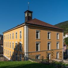
Schoolhouse with little clock tower
225 m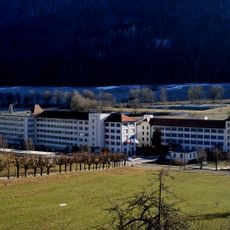
Longines watch factory
1.7 km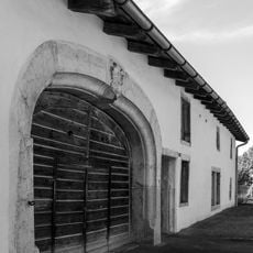
Farm old mill
3.2 km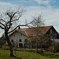
Grande Coronelle farm
5.7 km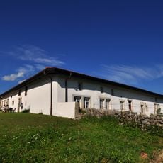
Farmhouse No 22
6.8 km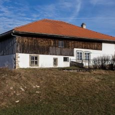
Sur le Cratan farmhouse
5.6 km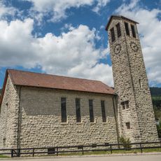
Reformed church
355 m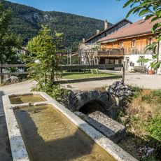
Fountain (2nd half of the 19th century)
7.1 kmReviews
Visited this place? Tap the stars to rate it and share your experience / photos with the community! Try now! You can cancel it anytime.
Discover hidden gems everywhere you go!
From secret cafés to breathtaking viewpoints, skip the crowded tourist spots and find places that match your style. Our app makes it easy with voice search, smart filtering, route optimization, and insider tips from travelers worldwide. Download now for the complete mobile experience.

A unique approach to discovering new places❞
— Le Figaro
All the places worth exploring❞
— France Info
A tailor-made excursion in just a few clicks❞
— 20 Minutes