
Bourrignon, municipality in the canton of Jura in Switzerland
Location: Delémont District
Elevation above the sea: 770 m
Shares border with: Develier, Delémont, Pleigne, Boécourt
Website: http://bourrignon.ch
GPS coordinates: 47.40000,7.25000
Latest update: March 8, 2025 10:42
Lucelle Abbey
2.5 km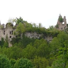
Château de Morimont
5.7 km
Les Ordons
1.9 km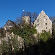
Pleujouse Castle
3.2 km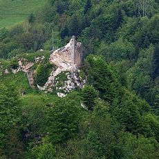
Asuel Castle
3 km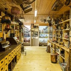
Musée Chappuis-Fähndrich
6.1 km
Museum of art and history of the Jura (collection)
8 km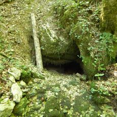
Siphon de Lucelle
3.7 km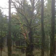
Vieux chêne d'Oberlarg
5.1 km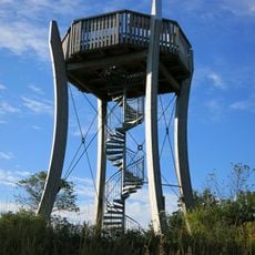
Panoramaturm Pleigne
3.6 km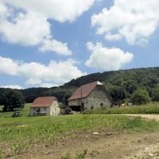
Ferme de la Vacherie
5.6 km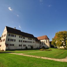
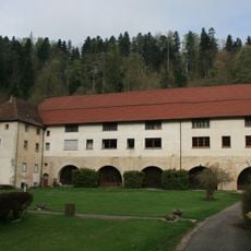
Former priory Löwenburg
6.1 km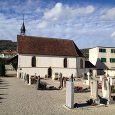
St-Michel's chapel in the cemetery
7.8 km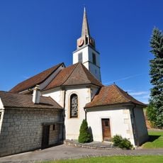
Saint-Germain-d’Auxerre church
7.7 km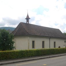
Saint-Hubert chapel
7.2 km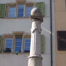
Fontaine de la Boule
8 km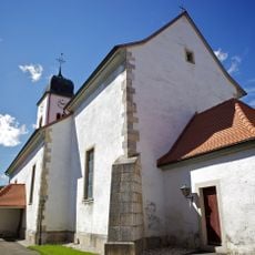
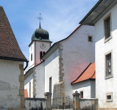
Saint-Sébastien church
547 m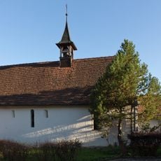
Saint-Imier-et-Saint-Hubert chapel
4.1 km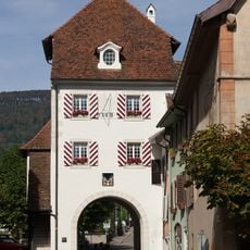
Porte-au-Loup
7.9 km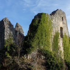
Derrie le Tchété, medieval castle ruins Löwenburg
6 km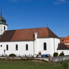
Saint-Pierre-et-Saint-Paul church
3.4 km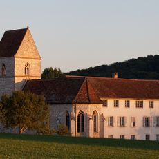
Former priory Miserez
5.1 km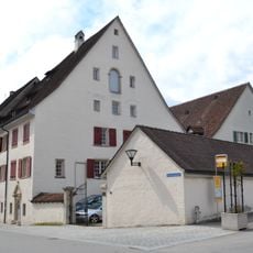
Wicka I House
7.9 km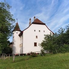
Château de Domont
5.7 km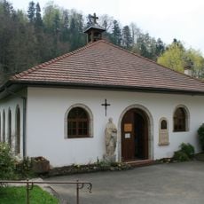
Chapelle Notre-Dame de Lucelle
2.6 km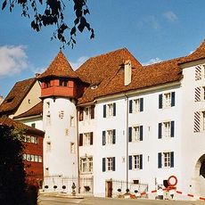
Museum of art and history of the Jura (building; Tour Rouge)
8 km
Rectory and annexed school house
3.5 km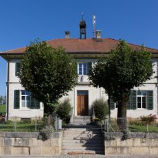
Former school house
4.2 kmReviews
Visited this place? Tap the stars to rate it and share your experience / photos with the community! Try now! You can cancel it anytime.
Discover hidden gems everywhere you go!
From secret cafés to breathtaking viewpoints, skip the crowded tourist spots and find places that match your style. Our app makes it easy with voice search, smart filtering, route optimization, and insider tips from travelers worldwide. Download now for the complete mobile experience.

A unique approach to discovering new places❞
— Le Figaro
All the places worth exploring❞
— France Info
A tailor-made excursion in just a few clicks❞
— 20 Minutes