Oeschgen, municipality in the canton of Aargau in Switzerland
Location: Laufenburg District
Elevation above the sea: 340 m
Part of: RPV Fricktal Regio
Shares border with: Eiken, Kaisten, Frick
Website: https://oeschgen.ch
GPS coordinates: 47.52194,8.01806
Latest update: March 3, 2025 20:35
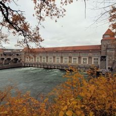
Laufenburg power station
4.4 km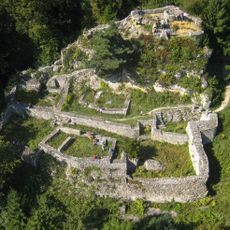
Alt-Thierstein Castle
4.4 km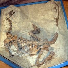
Dinosaur museum
1.8 km
Tongrube Frick
1.8 km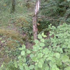
Burg Rheinsberg
4.5 km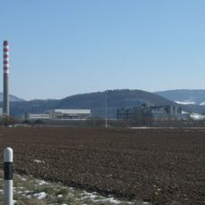
Schinberg
4.1 km
Herrain
3.9 km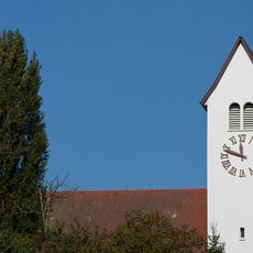
Reformierte Kirche Frick
1.3 km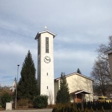
Reformierte Kirche Laufenburg
5.4 km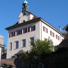
Courthouse
5.4 km
Former Amtshaus of Säckingen
4.2 km
Roman Catholic Parish Church
3 km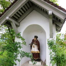
Statue of Nepomuk in Bildhäuschen
554 m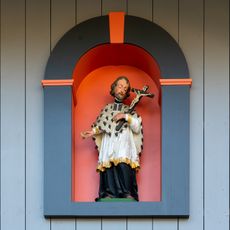
Nepomuk statue
4.1 km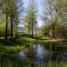
Bustelbach biotope (palaeolithic site)
5.1 km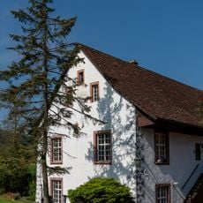
Former abbey mill monastery Säckingen
2.9 km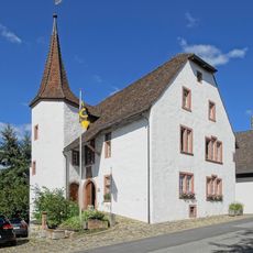
Schlösschen
312 m
Roman and late roman settlement
1.9 km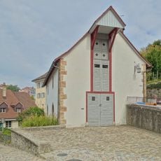
Old armory
5.4 km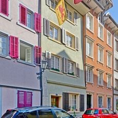
Residential house Obere Wasengasse 91
5.4 km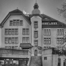
Burgmatt schoolhouse
5.4 km
Residential house Obere Wasengasse 62
5.3 km
Rümmet; Bronze Age and Iron Age settlement site
844 m
Official house no. 2
4.2 km
Swedish house
329 m
Old school building
2 km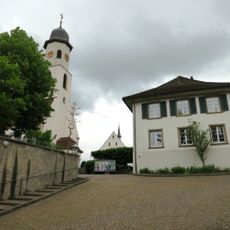
Kirchhügel; late Roman fortification, antebellum church and early medieval burial ground
2 km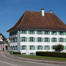
Former Schaffnerei der Kommende Beuggen
1.4 kmVisited this place? Tap the stars to rate it and share your experience / photos with the community! Try now! You can cancel it anytime.
Discover hidden gems everywhere you go!
From secret cafés to breathtaking viewpoints, skip the crowded tourist spots and find places that match your style. Our app makes it easy with voice search, smart filtering, route optimization, and insider tips from travelers worldwide. Download now for the complete mobile experience.

A unique approach to discovering new places❞
— Le Figaro
All the places worth exploring❞
— France Info
A tailor-made excursion in just a few clicks❞
— 20 Minutes