
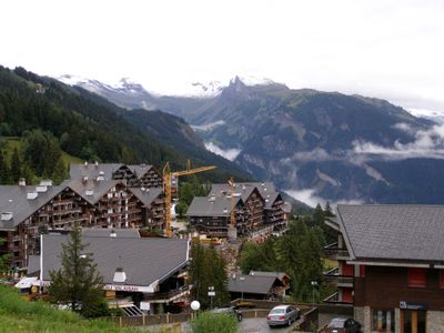
Ayent, municipality in Switzerland
Location: Hérens District
Location: Valais
Elevation above the sea: 967 m
Website: http://ayent.ch
GPS coordinates: 46.28333,7.40000
Latest update: March 7, 2025 06:10
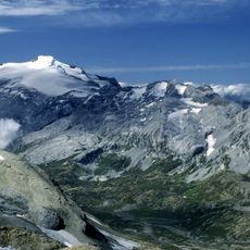
Wildhorn
8.6 km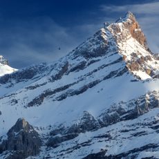
Sex Rouge
5.8 km
Schnidejoch
9.6 km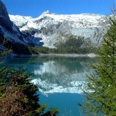
Lac de Tseuzier
7.9 km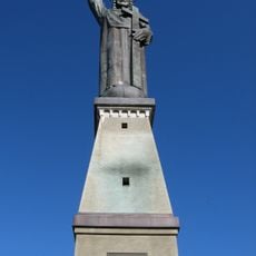
Christ the King statue
3.1 km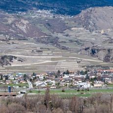
Uvrier
3.6 km
Schnidehorn
10 km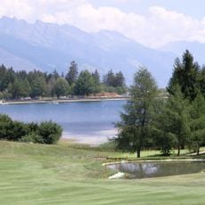
Etang de la Moubra
6.4 km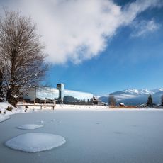
Fondation Opale
3.7 km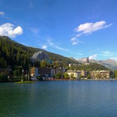
Etang Grenon
6.5 km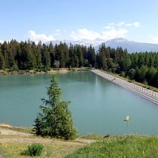
Lac de Chermignon
6.1 km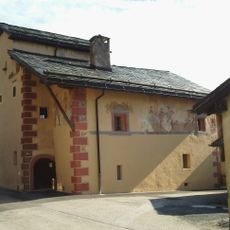
Painted house (former inn)
4.4 km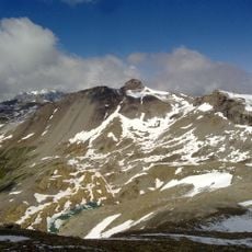
Rohrbachstein
11.4 km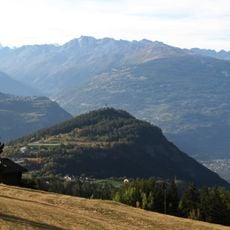
Colline du Châtelard
3.1 km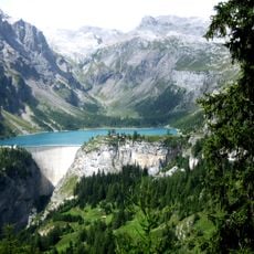
Diga di Zeuzier
7.7 km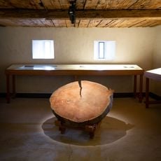
Musée valaisan des Bisses
897 m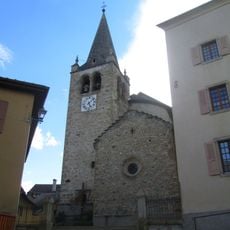
Saint-Pierre church and bell tower
3.5 km
Ayent Castle
1.6 km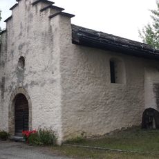
Chapelle Sainte-Marie-Madeleine
2 km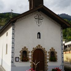
Saint-Martin chapel
860 m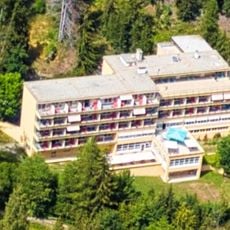
Hotel and former sanatorium Bella Lui
6.7 km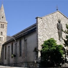
Saint-Pancrace church
2.8 km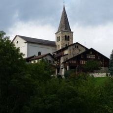
Saint-Romain church with bell tower and surroundings
983 m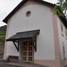
Old rectory
3.3 km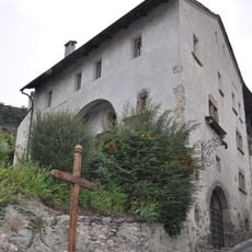
Sonvillaz house
3.4 km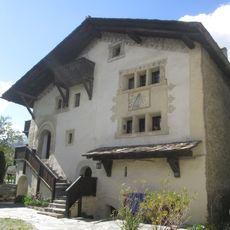
Le Manoir
3.5 km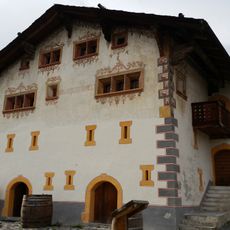
Painted house
892 m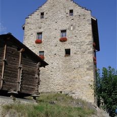
Rectory (old castle) with granary
2.9 kmReviews
Visited this place? Tap the stars to rate it and share your experience / photos with the community! Try now! You can cancel it anytime.
Discover hidden gems everywhere you go!
From secret cafés to breathtaking viewpoints, skip the crowded tourist spots and find places that match your style. Our app makes it easy with voice search, smart filtering, route optimization, and insider tips from travelers worldwide. Download now for the complete mobile experience.

A unique approach to discovering new places❞
— Le Figaro
All the places worth exploring❞
— France Info
A tailor-made excursion in just a few clicks❞
— 20 Minutes