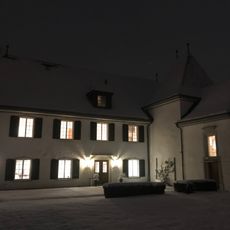
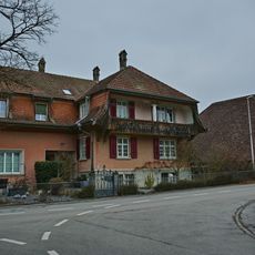
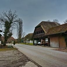
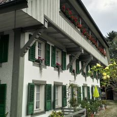
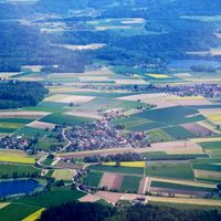
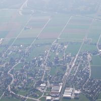
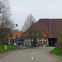
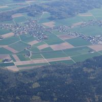
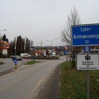
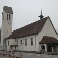
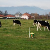
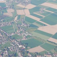
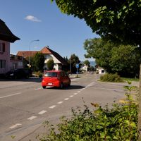
Wasseramt District, district of the canton of Solothurn, Switzerland
The community of curious travelers
AroundUs brings together thousands of curated places, local tips, and hidden gems, enriched daily by 60,000 contributors worldwide.
Location
Location
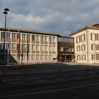
Capital city
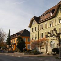
Kriegstetten
Elevation above the sea
444 m
Shares border with
Solothurn District, Lebern District, Bucheggberg District
GPS coordinates
47.16667,7.58333
Latest update
March 3, 2025 10:29