
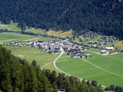
Obergesteln, village and former municipality in Obergoms in the canton of Valais, Switzerland
Location: Obergoms
Elevation above the sea: 1,355 m
Shares border with: Guttannen, Oberwald, Ulrichen
Website: http://obergesteln.ch
GPS coordinates: 46.50000,8.31667
Latest update: March 7, 2025 22:27
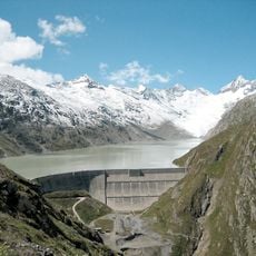
Oberaarsee
6.5 km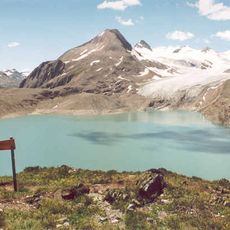
Griessee
6.3 km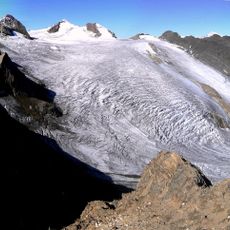
Gries Glacier
6.4 km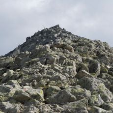
Sidelhorn
5.9 km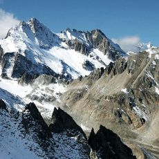
Pizzo Gallina
5.8 km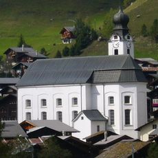
Birth of Mary parish church
6.6 km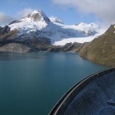
Punta dei Camosci
7 km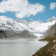
Löffelhorn
6.8 km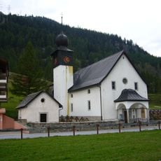
Heilig Kreuz church
4.6 km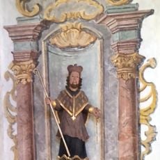
Left altarpiece of Sankt Anna zum Loch
506 m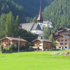
St. Anthony chapel on the Biel
4.3 km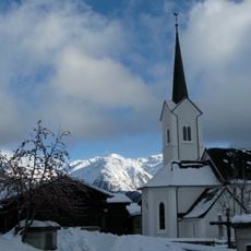
St. Nikolaus Church
1.2 km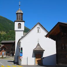
Saint Sebastian
2.8 km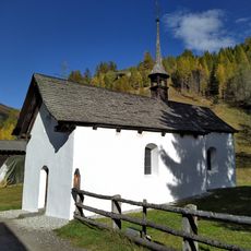
Sankt Anna zum Loch
503 m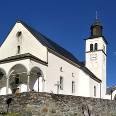
Saint Martin of Tours
1.8 km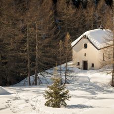
Holy Cross chapel in the Blinnental
6.2 km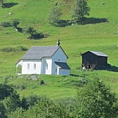
St. Catherine chapel
2 km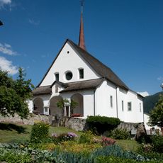
St. Mary church with cemetery chapel
4.2 km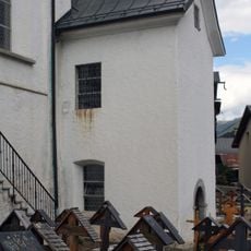
Ossuary chapel
6.6 km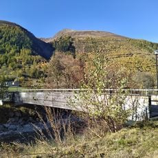
Pedestrian bridge in Obergesteln
2.1 km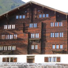
Taffiner house
6.6 km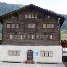
Municipal hall (Burgerhaus)
6.7 km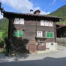
Konrad Carlen house
6.6 km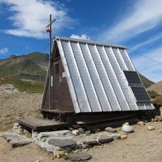
Bivacco al passo del Gries
6.9 km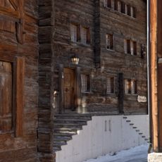
House Imsand (Nessier)
4.4 km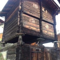
Franz Werlen granary
2.8 km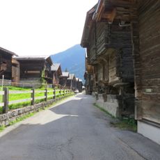
Utility buildings "Uf der Stiege"
6.6 km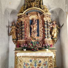
Reredos of Sankt Anna zum Loch
502 mReviews
Visited this place? Tap the stars to rate it and share your experience / photos with the community! Try now! You can cancel it anytime.
Discover hidden gems everywhere you go!
From secret cafés to breathtaking viewpoints, skip the crowded tourist spots and find places that match your style. Our app makes it easy with voice search, smart filtering, route optimization, and insider tips from travelers worldwide. Download now for the complete mobile experience.

A unique approach to discovering new places❞
— Le Figaro
All the places worth exploring❞
— France Info
A tailor-made excursion in just a few clicks❞
— 20 Minutes