Enable Location

We need your location to show you interesting places around you

Discover nearby places

Find interesting locations and hidden gems around you

Precise directions

Get accurate directions and distances to places

Your location is never shared with other users. It's only used when you tap the location button.

Wandfluhhorn

Log in to your account

Start exploring — it's free

Trusted by 62,167 travelers worldwide

Continue with Google
Continue with Apple
or

We will send you a code to connect

By continuing, you accept our Terms and Conditions and our Privacy Policy

Check your inbox

We've sent a pincode in your inbox. Please enter the code below.

Wandfluhhorn

Wandfluhhorn, Alpine summit in Lepontine Alps, Switzerland.

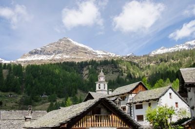
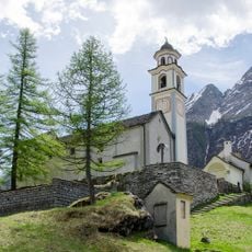
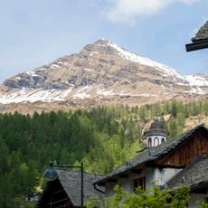
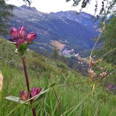
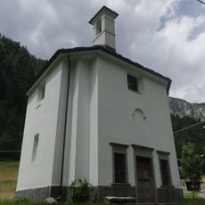
Pizzo Biela is an Alpine summit in the Lepontine Alps on the border between Switzerland and Italy. At roughly 2,862 meters (9,390 feet) elevation, the peak forms a distinctive landmark overlooking the Bosco/Gurin valley and the Italian Formazza region.

The mountain became a border marker between Switzerland and Italy during the establishment of modern Alpine boundaries in the 1800s. This boundary definition continues to shape the massif and its importance to both nations.

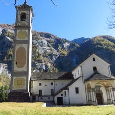
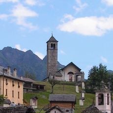
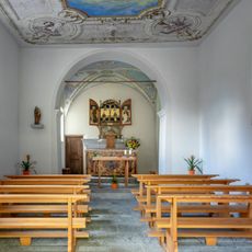
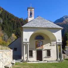
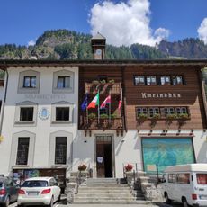
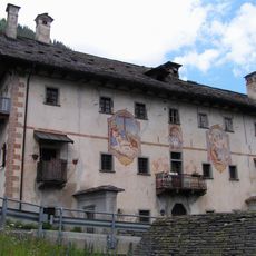
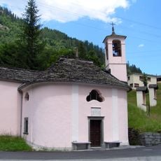
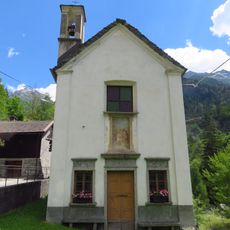
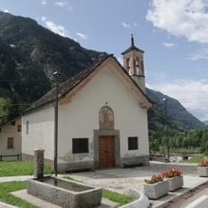
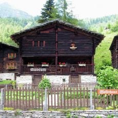
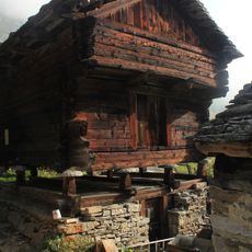
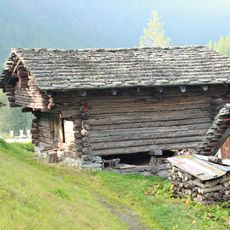
Mountain communities on both sides of the summit maintain traditional Alpine farming and seasonal customs tied to the high mountain environment. Visitors can experience this living culture in the villages at the base of the peak.

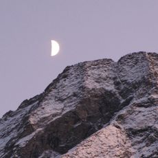
The summit is reachable via several hiking trails that are best traveled in summer months when snow and ice have melted. Good mountain boots and Alpine experience are needed since some routes are steep and exposed in places.

The mountain displays distinct plant communities across different elevation bands because the peak spans multiple ecological zones. This varied flora makes it rewarding for walkers interested in Alpine botany.

The community of curious travelers

AroundUs brings together thousands of curated places, local tips, and hidden gems, enriched daily by 60,000 contributors worldwide.

Start exploring
GPS coordinates
46.34477,8.46416
Latest update
December 14, 2025 20:04
« Wandfluhhorn - Alpine summit in Lepontine Alps, Switzerland » is provided by Around Us (aroundus.com). Images and texts are derived from Wikimedia project under a Creative Commons license. You are allowed to copy, distribute, and modify copies of this page, under the conditions set by the license, as long as this note is clearly visible.

Discover hidden gems everywhere you go!

From secret cafés to breathtaking viewpoints, skip the crowded tourist spots and find places that match your style. Our app makes it easy with voice search, smart filtering, route optimization, and insider tips from travelers worldwide. Download now for the complete mobile experience.

Around Us App Screenshot

A unique approach to discovering new places

Le Figaro

All the places worth exploring

France Info

A tailor-made excursion in just a few clicks

20 Minutes

Around Us
Travel Guide & Maps
Download

Send to your phone

QR Code
1

Open the camera app on your mobile.

2

Point at the QR code with your camera. A notification will appear.

3

Tap the notification to open the link.