Seen, city district of Winterthur in the canton of Zürich, Switzerland
Location: Winterthur
Elevation above the sea: 478 m
GPS coordinates: 47.47640,8.76972
Latest update: March 3, 2025 02:54
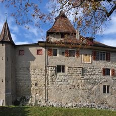
Kyburg Castle
2.8 km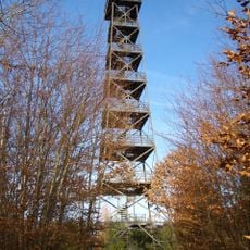
Eschenberg tower
2.7 km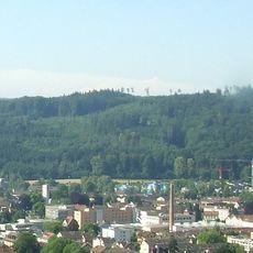
Eschenberg
2.6 km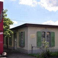
Swiss Nail Factory
2.9 km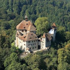
Castle Kyburg
2.8 km
Eschenberg Observatory
2 km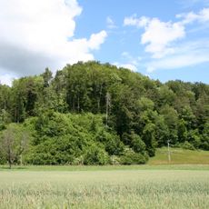
Ruine Liebenberg
2.8 km
Church of St. Urban
1.5 km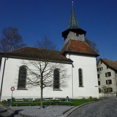
Kyburg reformed church
2.8 km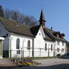
St. Antonius
2.2 km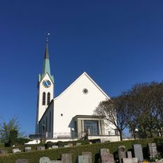
Reformierte Kirche Seen
801 m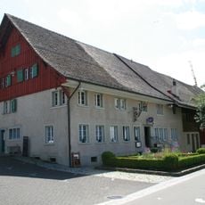
Untervogthaus Seen
918 m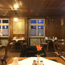
Ehemaliger Saalbau des „Hirschen“
2.9 km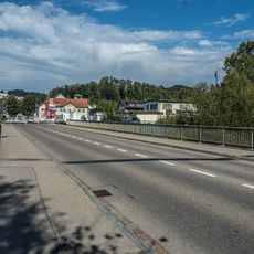
Weisslingerstrasse-Brücke
2.1 km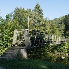
Spinnerei-Bühler-Dienst-Steg
2.2 km
Kyburg-Brücke (Linsentalbrücke)
2.4 km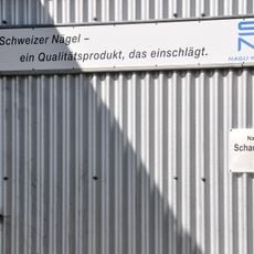
Machinery of the Winterthur nail factory
2.8 km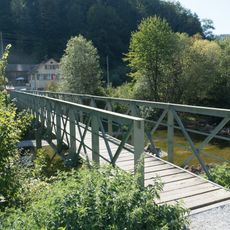
Seemerrüti-Steg
2.4 km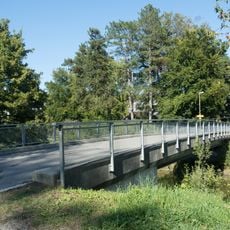
Hermann-Bühler-Brücke
1.4 km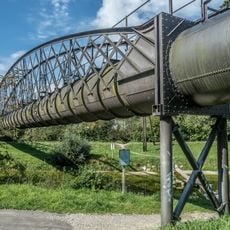
Obere-Spinnerei-Töss-Gewerbekanal-Aquädukt
2.5 km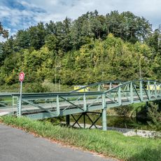
Au-Brücke
2.6 km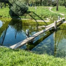
Auen-Schwemmsteg
2.5 km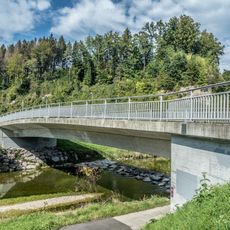
Brunnenweidenstrasse-Brücke
2.5 km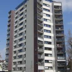
Hochhaus Weberstrasse
2.3 km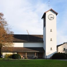
Church building
2.2 km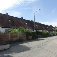
Siedlung Deutweg
3 km
Grossgarage Grüze
2.9 km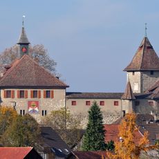
Mittelalterliche/neuzeitliche Burg / Dorf
2.8 kmVisited this place? Tap the stars to rate it and share your experience / photos with the community! Try now! You can cancel it anytime.
Discover hidden gems everywhere you go!
From secret cafés to breathtaking viewpoints, skip the crowded tourist spots and find places that match your style. Our app makes it easy with voice search, smart filtering, route optimization, and insider tips from travelers worldwide. Download now for the complete mobile experience.

A unique approach to discovering new places❞
— Le Figaro
All the places worth exploring❞
— France Info
A tailor-made excursion in just a few clicks❞
— 20 Minutes