
Rona, village du canton de Grisons, Suisse
Location: Grisons
Elevation above the sea: 1,408 m
Part of: Surses
GPS coordinates: 46.56080,9.62460
Latest update: April 25, 2025 19:38

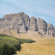
The Storr
1622.1 km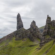
Old Man of Storr
1621.6 km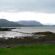
Loch Torridon
1608.9 km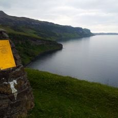
Hallaig
1604.3 km
Sand, Applecross
1605.2 km
Sgùrr a' Mhadaidh Ruaidh
1626.7 km
Ben Tianavaig
1611.6 km
Bearreraig Sandstone Formation
1617.8 km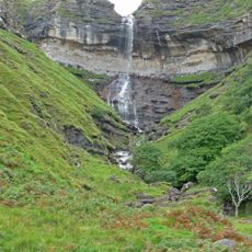
Bearreraig Waterfall
1619.5 km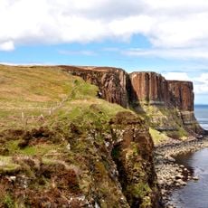
Kilt Rock
1629.2 km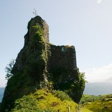
Brochel Castle
1610.3 km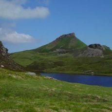
Dùn Caan
1605.8 km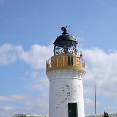
Rona Lighthouse
1617.4 km
Dun Grianan,broch on N shore of Loch Mealt
1629.4 km
Beinn a' Chlachain
1602.5 km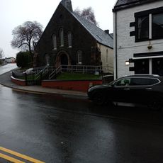
St Columba's Episcopal Church, Park Road, Portree, Skye
1615.7 km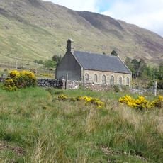
Applecross, Parish Church
1600.9 km
Staffin Ecomuseum
1629.6 km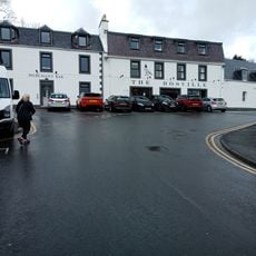
King's Haven Hotel, 11 Bosville Terrace, Portree, Skye
1615.5 km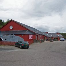
Aros Centre
1615.7 km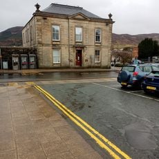
Skye, Portree, Somerled Square, Sheriff Court House
1615.6 km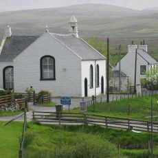
Skye, Staffin, Stenscholl Parish Church
1631.9 km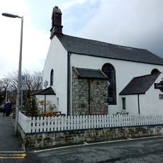
Old Parish Church, Bank Street, Portree, Skye
1615.4 km
Skye, Portree, Somerled Square, War Memorial
1615.6 km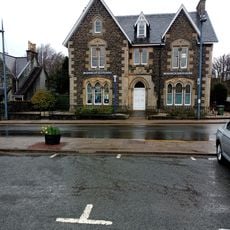
Skye, Portree, Somerled Square, Bank Of Scotland
1615.6 km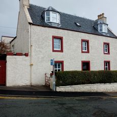
Skye, Portree, Stormy Hill Road, Hill House
1615.5 km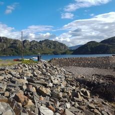
Lower Diabaig, Pier
1605.3 km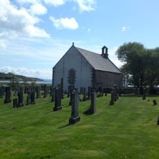
Applecross, Parish Church, Churchyard
1600.9 kmReviews
Visited this place? Tap the stars to rate it and share your experience / photos with the community! Try now! You can cancel it anytime.
Discover hidden gems everywhere you go!
From secret cafés to breathtaking viewpoints, skip the crowded tourist spots and find places that match your style. Our app makes it easy with voice search, smart filtering, route optimization, and insider tips from travelers worldwide. Download now for the complete mobile experience.

A unique approach to discovering new places❞
— Le Figaro
All the places worth exploring❞
— France Info
A tailor-made excursion in just a few clicks❞
— 20 Minutes