
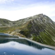
Borterhorn, mountain in Switzerland
Location: Leuk District
Elevation above the sea: 2,971 m
GPS coordinates: 46.24686,7.66200
Latest update: June 17, 2025 08:17
Le Cornier
4 km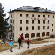
Hotel Weisshorn
5.5 km
Bella Tola
1.1 km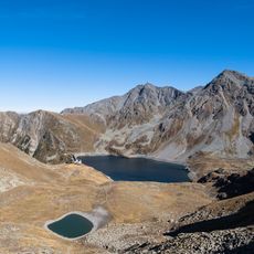
Illsee
2.6 km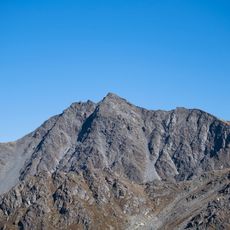
Brunnethorn
899 m
Gruben/Meiden
5.2 km
Le Toûno
4.5 km
Le Boudri
6.1 km
Chandolin Boutique Hotel
5 km
Fang
6.7 km
Tignousa
4.5 km
Tsapé
3.2 km
Bhutanese Bridge in Leuk
5.7 km
Ringacker chapel of the immaculate conception with hermitage
7.7 km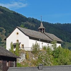
Chapelle Sainte-Marie du château avec archives
6.9 km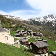
Eglise Sainte-Barbe
5.6 km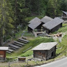
Moulins de Saint-Luc
5.5 km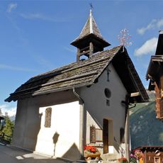
Chapelle Saint-Symphorien
7.6 km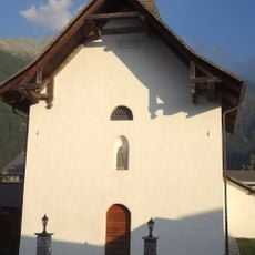
Old chapel
4.6 km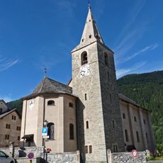
Sainte-Euphémie church
6.9 km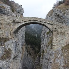
High bridge over the Feschelbach with chapel
7.5 km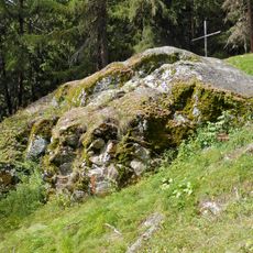
Pierre des Sauvages, pierre à cupules période inconnue
5.5 km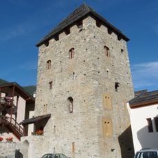
Tower and museum
6.9 km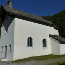
Holy Family chapel
5.2 km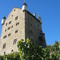
City hall
8 km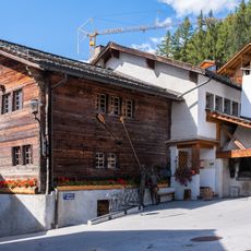
Maison bourgeoisiale, Saint-Luc
5.8 km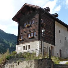
Vicariat de Vissoie
6.9 km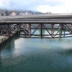
Bridge over the Rhone
7.5 kmReviews
Visited this place? Tap the stars to rate it and share your experience / photos with the community! Try now! You can cancel it anytime.
Discover hidden gems everywhere you go!
From secret cafés to breathtaking viewpoints, skip the crowded tourist spots and find places that match your style. Our app makes it easy with voice search, smart filtering, route optimization, and insider tips from travelers worldwide. Download now for the complete mobile experience.

A unique approach to discovering new places❞
— Le Figaro
All the places worth exploring❞
— France Info
A tailor-made excursion in just a few clicks❞
— 20 Minutes