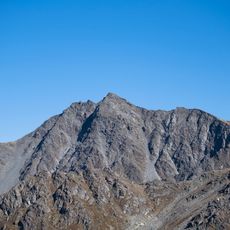
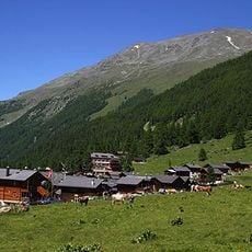
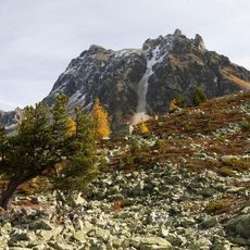
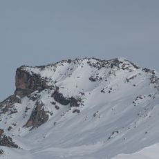
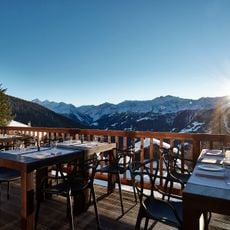
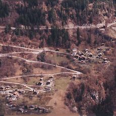
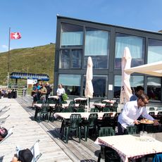
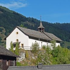
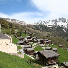
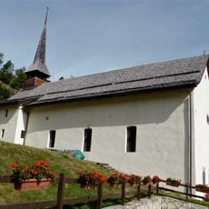
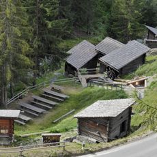
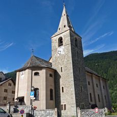
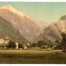
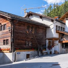
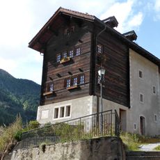
Bella Tola, Alpine summit in Valais, Switzerland.
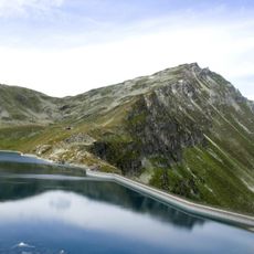
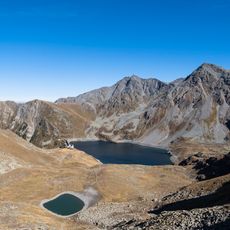
Bella Tola is a 3,025-metre summit in the Swiss Pennine Alps, above Saint-Luc in Valais, and the highest point of the ridge north of the Meidpass (2,790 m). It marks the northern end of the Weisshorn chain and the language border between Val d'Anniviers and the Turtmanntal. Its north flank once held the small Bella Tola Gletscher, which has now melted away.
The Bella Tola rises between the Val d'Anniviers and the Turtmanntal, on the language border of Valais; the Turtmannspitze to the south also carries the French name Pointe de Tourtemagne. It is the northernmost point above 3,000 m on a ridge chain running some 10 km north from the Diablons, which drops below 2,800 m only once, by 10 m. The summit is reached from the Cabane Bella-Tola at 2,347 m above Saint-Luc, and the Alpenpässe-Weg's 22nd stage crosses the Meidpass just south of it.
The Bella Tola sits on the language border of Valais, between the French-speaking Val d'Anniviers and the German-speaking Turtmanntal. This is why neighbouring peaks carry two names: the Turtmannspitze is also called Pointe de Tourtemagne, and the Meidspitz is the Aiguilles du Meiden. The summit is reached from the Cabane Bella-Tola at 2,347 m above Saint-Luc.
The climb is safest and usually snow-free between June and September. The tourism office in Saint-Luc provides maps and weather information to help plan your visit.
The Bella Tola is the northernmost summit above 3,000 metres in a ridge chain running some 10 km north from the Diablons; along that stretch the crest drops below 2,800 m only once, by about 10 metres. The small Bella Tola Gletscher on the north flank has now melted away entirely.
The community of curious travelers
AroundUs brings together thousands of curated places, local tips, and hidden gems, enriched daily by 94,073 contributors worldwide.