
Mont Gautier, mountain in Switzerland
Location: Hérens District
Elevation above the sea: 2,696 m
GPS coordinates: 46.19738,7.49245
Latest update: September 2, 2025 20:36
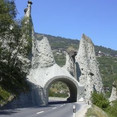
Pyramides d'Euseigne
6.4 km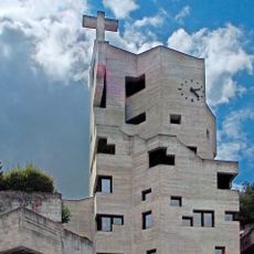
St. Nicolas
7 km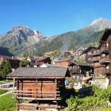
Sex de Marinda
7 km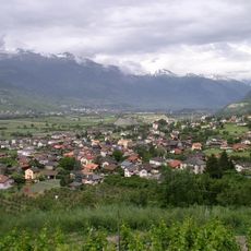
Réchy
7.1 km
Hermitage Longeborgne
7.1 km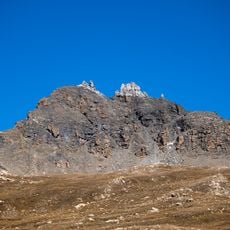
Becs de Bosson
3.8 km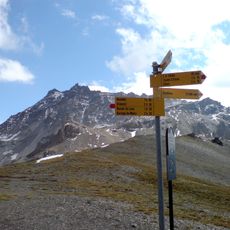
Sasseneire
7 km
Crêt-du-Midi
4.6 km
La Maya
2.9 km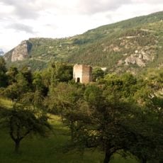
Ruins of the medieval Tavelli Tower
6.5 km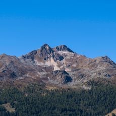
Roc d'Orzival
3.5 km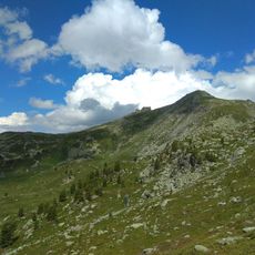
Mont Noble
1.1 km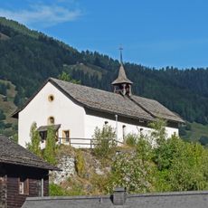
Chapelle Sainte-Marie du château avec archives
7.3 km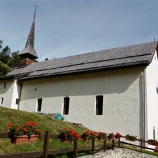
Saint-Jean chapel
7.1 km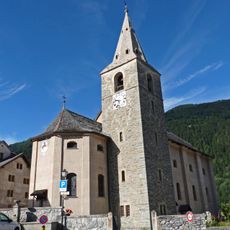
Sainte-Euphémie church
7.4 km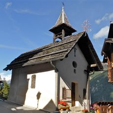
Chapelle Saint-Symphorien
6.6 km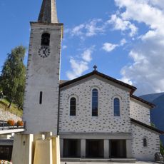
Saint-Martin church
4.7 km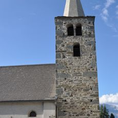
Saint-Maurice et Saint-Gothard church
6.1 km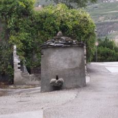
Well
7.2 km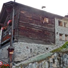
Maison bourgeoisiale
6.7 km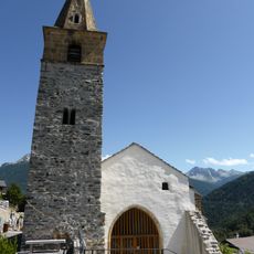
St-Boniface old church
7.4 km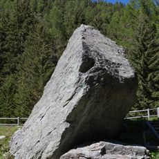
Ilôt Bosquet
6.6 km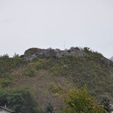
Medieval castle hill
7.1 km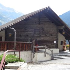
Maison bourgeoisiale
7 km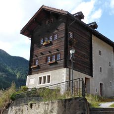
Vicariat de Vissoie
7.4 km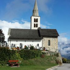
Old church Saint-Sylve
7.2 km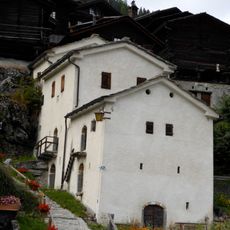
Les 3 Caves blanches
6.8 km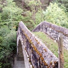
Pont de pierre
6.1 kmReviews
Visited this place? Tap the stars to rate it and share your experience / photos with the community! Try now! You can cancel it anytime.
Discover hidden gems everywhere you go!
From secret cafés to breathtaking viewpoints, skip the crowded tourist spots and find places that match your style. Our app makes it easy with voice search, smart filtering, route optimization, and insider tips from travelers worldwide. Download now for the complete mobile experience.

A unique approach to discovering new places❞
— Le Figaro
All the places worth exploring❞
— France Info
A tailor-made excursion in just a few clicks❞
— 20 Minutes