
Chuemilzflue, موقع أثري في سويسرا
Location: Zürich
Location: Dielsdorf district
GPS coordinates: 47.53834,8.45684
Latest update: June 8, 2025 14:24
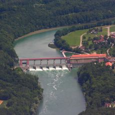
Eglisau-Glattfelden Power Station
4.2 km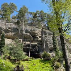
Balmburg, medieval castle site
3.3 km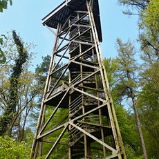
Stadler Berg Observation tower
475 m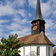
Protestant Church Weiach
2.6 km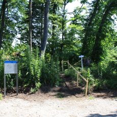
Waldhausen Castle
3.9 km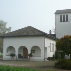
St. Josef Glattfelden
4 km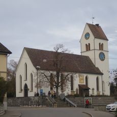
Reformierte Kirche Steinmaur
4.4 km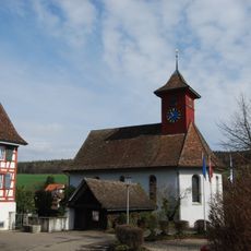
Reformed church
2 km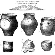
Neolithic tumulus necropolis
4.3 km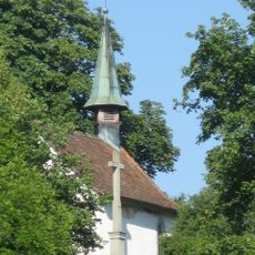
St. Antonius
4.5 km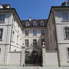
Marschallhaus
4.5 km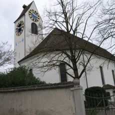
Church of Stadel
1.4 km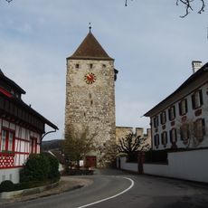
Upper tower
4.4 km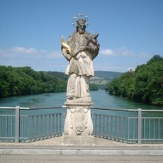
Saint Nepomuk
4.5 km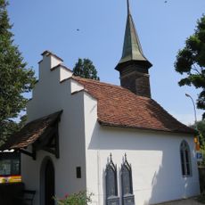
Cemetery chapel
4.3 km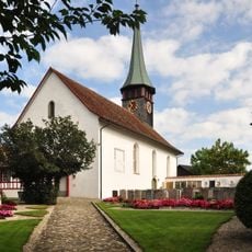
Church district (church, rectory, pastor's barn, wash house, churchyard, wall with embrasures)
2.6 km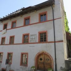
Amthaus of the former monastery St. Blasien
4.5 km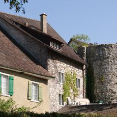
City fortifications (city wall, Storchenturm, city moat)
4.3 km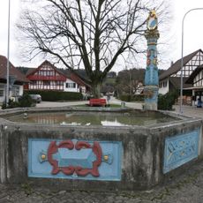
Löwenbrunnen
1.3 km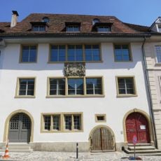
Schoolhouse, former city hall
4.5 km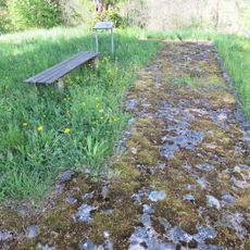
Rheinsfelden
4.1 km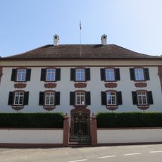
Zur Linde House
4.3 km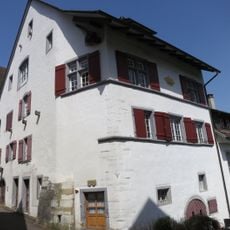
Former zur Krone Inn
4.4 km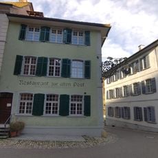
Restaurant zur alten Post
4.5 km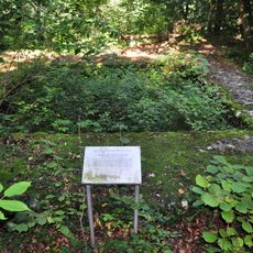
Hardwald
3.6 km
Customs house
4.5 km
Stadlerberg / Chüemilziflue, Wallanlage unbekannterZeitstellung
78 m
Municipal citizens' home
4.4 kmReviews
Visited this place? Tap the stars to rate it and share your experience / photos with the community! Try now! You can cancel it anytime.
Discover hidden gems everywhere you go!
From secret cafés to breathtaking viewpoints, skip the crowded tourist spots and find places that match your style. Our app makes it easy with voice search, smart filtering, route optimization, and insider tips from travelers worldwide. Download now for the complete mobile experience.

A unique approach to discovering new places❞
— Le Figaro
All the places worth exploring❞
— France Info
A tailor-made excursion in just a few clicks❞
— 20 Minutes