
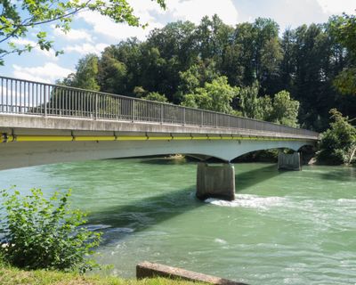
Reussbrücke Mülligen-Birmenstorf, road bridge in canton Aargau, Switzerland
Location: Birmenstorf
Location: Mülligen
Inception: 1949
Elevation above the sea: 337 m
Length: 70 m
Made from material: cement, steel
GPS coordinates: 47.45871,8.24524
Latest update: September 23, 2025 16:56
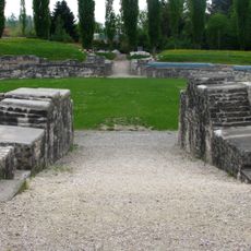
Amphitheater of Vindonissa
3.1 km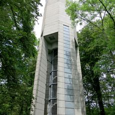
Baldegger Wasserturm
3.1 km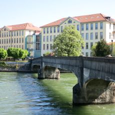
Former Kunz spinning mill
2.8 km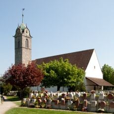
Reformed church
3 km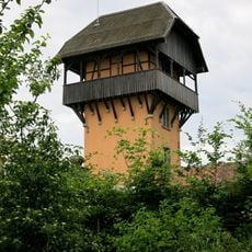
Baldegger Restaurantturm
2.9 km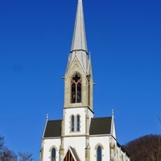
Reformed Church
2.6 km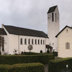
Roman catholic parish church Leodegar
453 m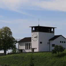
Evangelical reformed church
547 m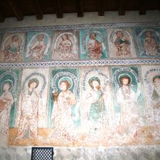
Cemetery chapel with frescoes
462 m
Reformed church Hausen
2.4 km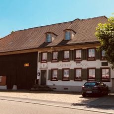
Zur Sonne Inn
2.9 km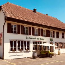
Zur Waage Restaurant
3 km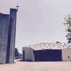
Roman catholic parish church of St. Mary
3 km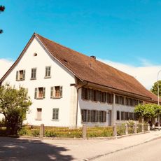
Bossart house
3 km
Former Bären Inn
2.5 km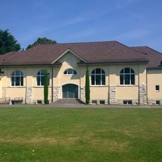
Gymnasium
3.1 km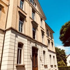
Schoolhouse
3 km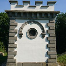
Reservoir Chapf
2.1 km
Old schoolhouse
3 km
Reformed rectory Gebenstorf
2.6 km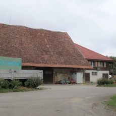
Lindhof barn
1.7 km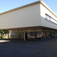
ABB Switzerland, archive collection
2.9 km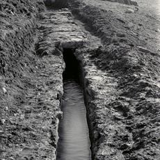
Neuquartier-im Winkel; water-bearing Roman water conduit to Vindonissa (section municipality of Hausen)
2.6 km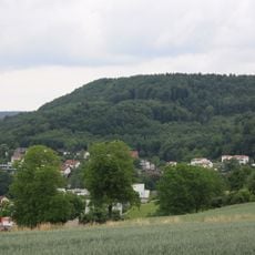
Horn of Gebenstorf, rampart (chronology not known)
3.1 km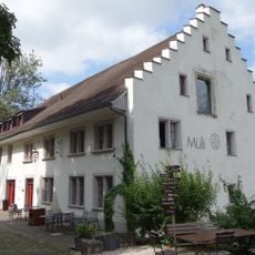
Former mill
398 m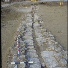
Stück-Soorematte; dead Roman water conduit to Vindonissa (section of Hausen community)
2.5 km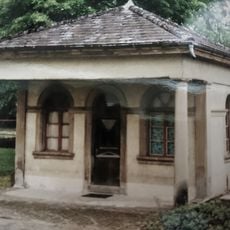
Spinnerei Kunz with former schoolhouse, Gutmannshaus and northern old building
2.8 km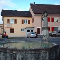
Village fountain
254 mReviews
Visited this place? Tap the stars to rate it and share your experience / photos with the community! Try now! You can cancel it anytime.
Discover hidden gems everywhere you go!
From secret cafés to breathtaking viewpoints, skip the crowded tourist spots and find places that match your style. Our app makes it easy with voice search, smart filtering, route optimization, and insider tips from travelers worldwide. Download now for the complete mobile experience.

A unique approach to discovering new places❞
— Le Figaro
All the places worth exploring❞
— France Info
A tailor-made excursion in just a few clicks❞
— 20 Minutes