·

Enable Location

We need your location to show you interesting places around you

Discover nearby places

Find interesting locations and hidden gems around you

Precise directions

Get accurate directions and distances to places

Your location is never shared with other users. It's only used when you tap the location button.

Tibet Autonomous Region

Log in to your account

Start exploring — it's free

Trusted by 62,654 travelers worldwide

Continue with Google
Continue with Apple
or

We will send you a code to connect

By continuing, you accept our Terms and Conditions and our Privacy Policy

Check your inbox

We've sent a pincode in your inbox. Please enter the code below.

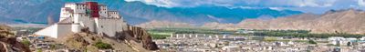
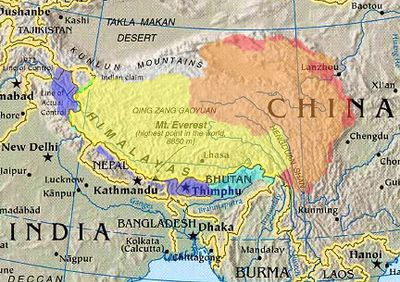
Tibet Autonomous Region, Administrative region in southwestern China.

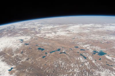
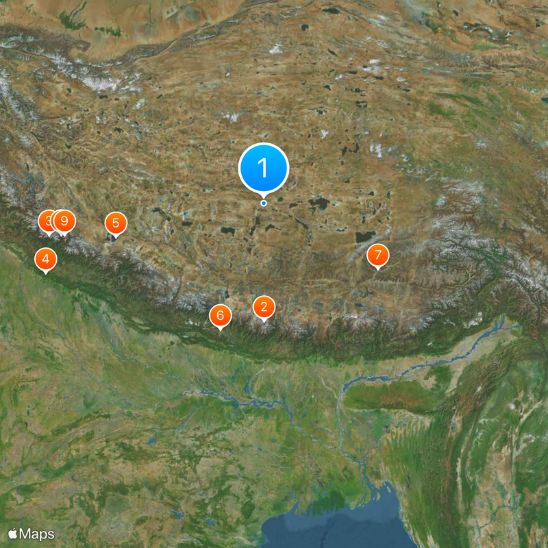
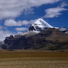
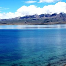
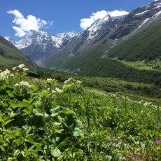
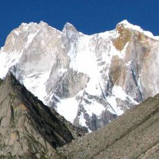
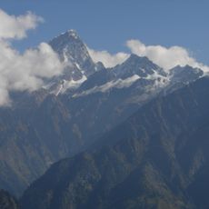
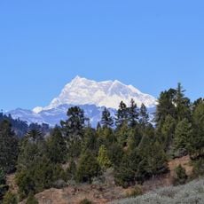
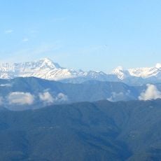
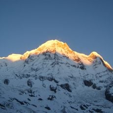
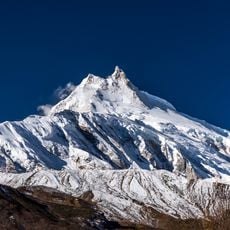
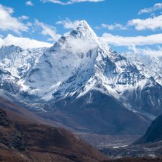
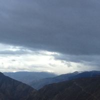
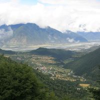
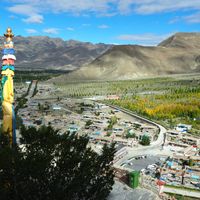
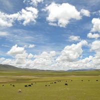
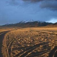
The Tibet Autonomous Region stretches across a vast highland area in southwestern China, mostly above 4000 meters, defined by mountain ranges, wide plateaus and deep valleys. The landscape shifts between barren plains, snow-covered peaks and lakes that reflect light in shades of deep blue and green.

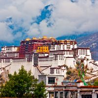
The area was an independent Buddhist kingdom for centuries before the Chinese People's Liberation Army entered in 1950. Formal incorporation as an autonomous region occurred in 1965 within the administrative structure of the People's Republic.

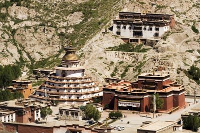
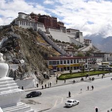
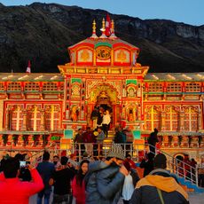
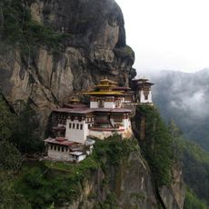
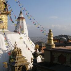
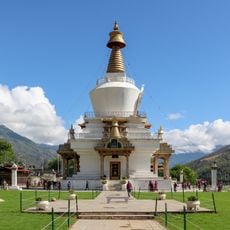
The Tibetan language is present throughout the region, with signs, conversations and public announcements often switching between Tibetan and Mandarin. Buddhist monasteries are not historical relics but active places where monks pray, study and receive pilgrims from near and far every day.

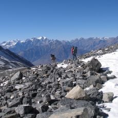
The high altitude requires acclimatization, and many visitors feel headaches or shortness of breath within the first few days. Foreign travelers need a special permit issued only through registered travel agencies, which controls access to certain locations.

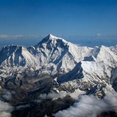
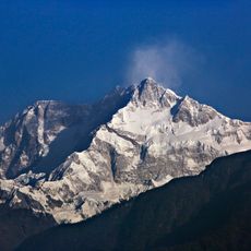
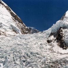
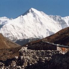
Eight peaks above 8000 meters lie within this area, including Mount Everest on the southern border. Several major rivers of Asia, supplying water to millions of people, originate on these high plateaus and flow in all directions.

The community of curious travelers

AroundUs brings together thousands of curated places, local tips, and hidden gems, enriched daily by 60,000 contributors worldwide.

Start exploring
Inception
1965
Capital city
Lhasa
Reference
Shares border with
Sichuan, Yunnan, Xinjiang, Qinghai, Nepal, Himachal Pradesh, Uttarakhand, Sikkim, Bhutan, Arunachal Pradesh, Kachin State
GPS coordinates
31.70556,86.94028
Latest update
December 14, 2025 18:56
« Tibet Autonomous Region - Administrative region in southwestern China » is provided by Around Us (aroundus.com). Images and texts are derived from Wikimedia project under a Creative Commons license. You are allowed to copy, distribute, and modify copies of this page, under the conditions set by the license, as long as this note is clearly visible.

Discover hidden gems everywhere you go!

From secret cafés to breathtaking viewpoints, skip the crowded tourist spots and find places that match your style. Our app makes it easy with voice search, smart filtering, route optimization, and insider tips from travelers worldwide. Download now for the complete mobile experience.

Around Us App Screenshot

A unique approach to discovering new places

Le Figaro

All the places worth exploring

France Info

A tailor-made excursion in just a few clicks

20 Minutes

Around Us
Travel Guide & Maps
Download

Send to your phone

QR Code
1

Open the camera app on your mobile.

2

Point at the QR code with your camera. A notification will appear.

3

Tap the notification to open the link.