
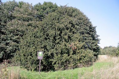
Tis v Krompachu - v louce, memorable tree in Česká Lípa District, Czech Republic
Location: Krompach
Height: 12 m
GPS coordinates: 50.82792,14.71265
Latest update: March 4, 2025 09:47

Highwood
1.1 km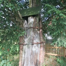
Tisy v Krompachu
254 m
Jánské kameny
891 m
Krompach Castle
736 m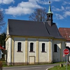
Church of Fourteen Holy Helpers (Krompach)
833 m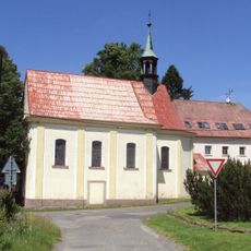
Římskokatolická farnost Krompach
833 m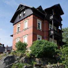
Eschengrundweg 4
1.2 km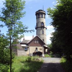
Hochwald Tower
1.1 km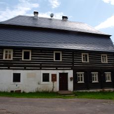
Krompach 126
771 m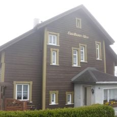
Jonsdorfer Straße 14
963 m
Jonsdorfer Straße 17
939 m
Jonsdorfer Straße 11
959 m
Grenzstraße 1
885 m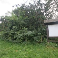
Tis v Krompachu
286 m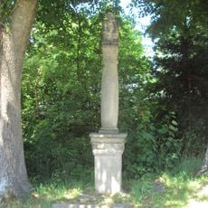
Sloup se sochou Ecce Homo
287 m
Jonsdorfer Straße 3
1.1 km
Jonsdorfer Straße 4
1.1 km
Jonsdorfer Straße 5
1 km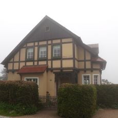
Jonsdorfer Straße 12
950 m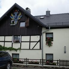
Eschengrundweg 1
1.2 km
Grenzstraße 4
773 m
Grenzstraße 10
836 m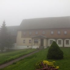
Grenzstraße 3
854 m
Jonsdorfer Straße 9
1 km
Jonsdorfer Straße 6
1 km
Grenzstraße 2
847 m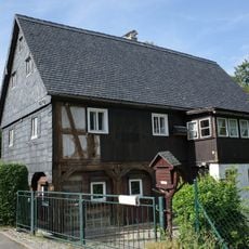
Eschengrundweg 2
1.2 km
Jonsdorfer Straße 21
902 mReviews
Visited this place? Tap the stars to rate it and share your experience / photos with the community! Try now! You can cancel it anytime.
Discover hidden gems everywhere you go!
From secret cafés to breathtaking viewpoints, skip the crowded tourist spots and find places that match your style. Our app makes it easy with voice search, smart filtering, route optimization, and insider tips from travelers worldwide. Download now for the complete mobile experience.

A unique approach to discovering new places❞
— Le Figaro
All the places worth exploring❞
— France Info
A tailor-made excursion in just a few clicks❞
— 20 Minutes