
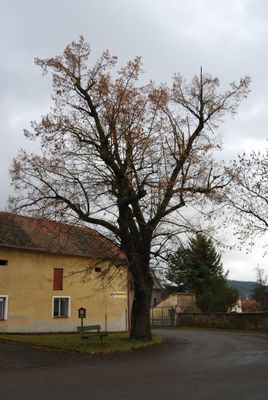
Klučenická lípa, memorable tree in Příbram District, Czech Republic
Location: Klučenice
Height: 17 m
GPS coordinates: 49.55244,14.21165
Latest update: March 8, 2025 06:22

Moldau-Kaskade
3.3 km
Žíkovec
3 km
Onen svět
2.1 km
Synagogue in Klučenice
206 m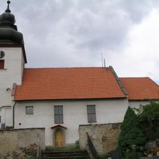
Church of the Visitation of Our Lady
2.1 km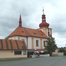
Church of Saint John the Baptist and Saint Anthony the Great
120 m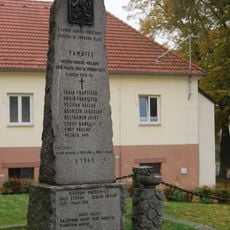
Pomník obětem nacismu
2 km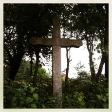
Kříž na Onom Světě
1.9 km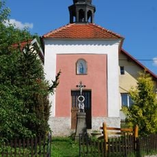
Chapel of Saint Wenceslaus
3.1 km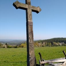
Kříž u Sychrova
3.6 km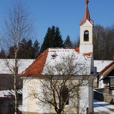
Chapel of Virgin Mary
2.4 km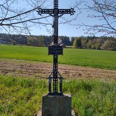
Kříž u Onoho Světa
3.6 km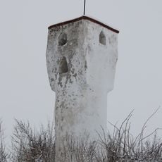
Boží muka
1.3 km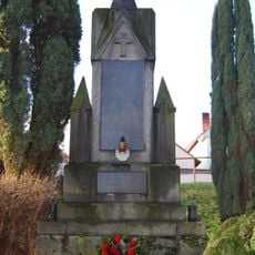
World War I memorial in Zahořany
1.5 km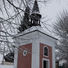
Chapel of Virgin Mary
1.5 km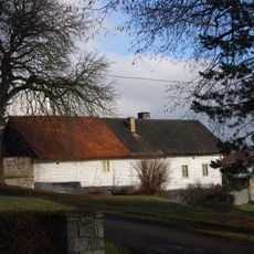
Usedlost čp. 26
1.5 km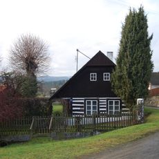
Usedlost čp. 17
3 km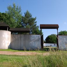
A fortress with a farm yard
2.7 km
Chapel in Zlučín
3.6 km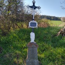
Kříž mezi Jezvinou a Oním Světem
3.5 km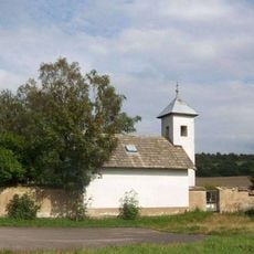
Hřbitovní kaple východně od Klučenic
673 m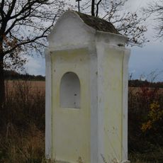
Kaplička západně od Plané
1.3 km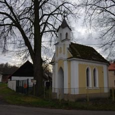
Kaple v Koubalově Lhotě
2.3 km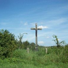
Kříž jižně od Lašovic
2.1 km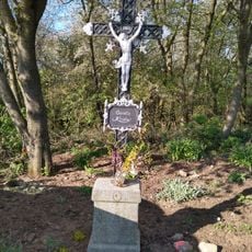
Kříž na hranici katastrů Zadního Chlumu a Plané
2.5 km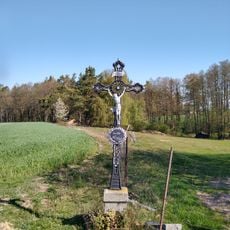
Kříž nad Jezvinou
3 km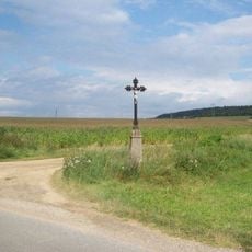
Kříž severně od Klučenic
475 m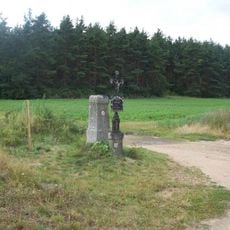
Kříže jižně od Milešova
3.1 kmVisited this place? Tap the stars to rate it and share your experience / photos with the community! Try now! You can cancel it anytime.
Discover hidden gems everywhere you go!
From secret cafés to breathtaking viewpoints, skip the crowded tourist spots and find places that match your style. Our app makes it easy with voice search, smart filtering, route optimization, and insider tips from travelers worldwide. Download now for the complete mobile experience.

A unique approach to discovering new places❞
— Le Figaro
All the places worth exploring❞
— France Info
A tailor-made excursion in just a few clicks❞
— 20 Minutes