Töpfer, Mountain summit in Oybin, Germany
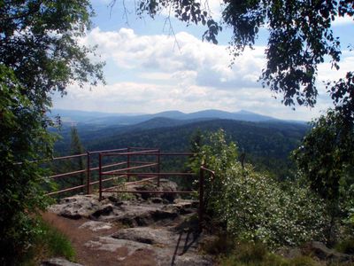
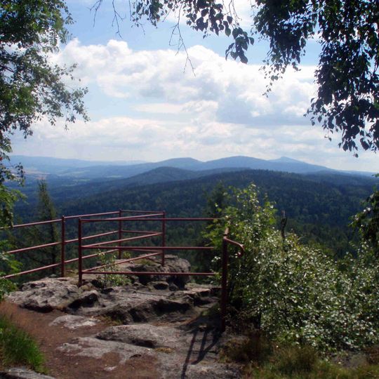
Töpfer is a mountain summit in the Zittau Mountains reaching 582 meters in elevation, notable for the distinctive rock formations at its peak. These formations feature two chalice-like shapes that gave the mountain its name.
The name likely derives from the Slavic word "tepr" for hay barns, not from pottery; a 1369 deed by Emperor Charles IV, granting the hill to the Celestine monks of Oybin, records it as "Tepper". The monastery held it until 1574, when the town of Zittau bought it. In 1831 Zittau citizens planned a constitution column on the summit, but it was erected in the town instead.
The mountain forms part of the Zittau Mountains, a landscape along the German-Czech border that draws hikers and day-trippers from the surrounding region. The rock formations at its peak serve as a recognizable landmark for the area.
Several marked hiking trails lead to the summit, with the climb taking roughly one to two hours from the starting points. Sturdy footwear is advisable since the rocks at the top can be slippery, especially after rain.
Since 2008, the archaeoastronomy group of the Bruno-H.-Bürgel observatory in Sohland has studied the summit rock gate: its opening angle from the west matches the sunrise span between the solstices, and from the east the sun sets exactly in the middle of the gate at the summer solstice.
The community of curious travelers
AroundUs brings together thousands of curated places, local tips, and hidden gems, enriched daily by 93,242 contributors worldwide.