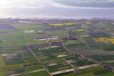
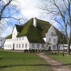
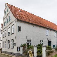
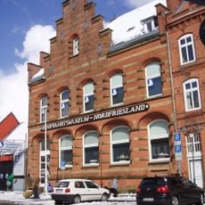
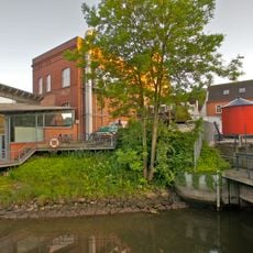
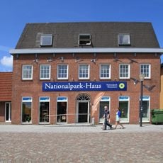
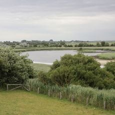
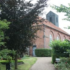
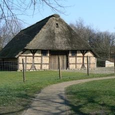
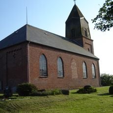
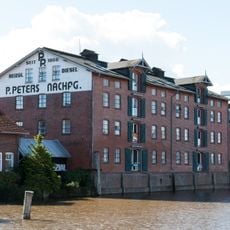
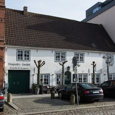
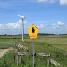
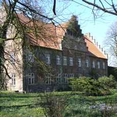
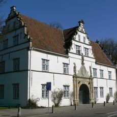
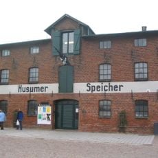
Simonsberg, German municipality
Location: Nordfriesland district
Elevation above the sea: 5 m
Shares border with: Husum, Südermarsch
Website: https://simonsberg.de
GPS coordinates: 54.43500,8.97833
Latest update: March 23, 2025 13:40
Roter Haubarg
1.3 km
Theodor-Storm-Haus
6.4 km
Schifffahrtsmuseum Nordfriesland
6.5 km
Husumer Mühlenau
5.1 km
Historisches Rathaus Husum
6.6 km
Nationalpark-Haus Husum
6.2 km
Wester-Spätinge
2.7 km
Nationalpark-Haus
6.2 km
Kirche mit Ausstattung
362 m
Ostenfelder Bauernhaus
6.5 km
Husumhus
6.7 km
St. Nikolai
4.3 km
Ehemaliges Kaufmannsgebäude
6.6 km
Hildegard
6.4 km
Der Rote Haubarg
2.8 km
Ehemaliges Zollamt
6.2 km
Alter Husumer Bahnhof von 1854
6.4 km
Lagerhaus
6.3 km
Dragseth's Gasthof
6.5 km
Dockkoog und Porrenkoog
5.7 km
Ehemaliges Kavalierhaus
6.6 km
Ehemaliges Kaufmannshaus
6.6 km
Ehemaliges Torhaus („Cornils’sches Haus“)
6.7 km
Wohnhaus
6.5 km
Lagerhaus
6.3 km
Kirchspielskrug
337 m
Wohn- und Geschäftshaus
6.6 km
Ehemalige Westbank mit Einfriedung
6.6 kmVisited this place? Tap the stars to rate it and share your experience / photos with the community! Try now! You can cancel it anytime.
Discover hidden gems everywhere you go!
From secret cafés to breathtaking viewpoints, skip the crowded tourist spots and find places that match your style. Our app makes it easy with voice search, smart filtering, route optimization, and insider tips from travelers worldwide. Download now for the complete mobile experience.
A unique approach to discovering new places❞
— Le Figaro
All the places worth exploring❞
— France Info
A tailor-made excursion in just a few clicks❞
— 20 Minutes