Enable Location

We need your location to show you interesting places around you

Discover nearby places

Find interesting locations and hidden gems around you

Precise directions

Get accurate directions and distances to places

Your location is never shared with other users. It's only used when you tap the location button.

Dagebüll

Log in to your account

Start exploring — it's free

Trusted by 61,364 travelers worldwide

Continue with Google
Continue with Apple
or

We will send you a code to connect

By continuing, you accept our Terms and Conditions and our Privacy Policy

Check your inbox

We've sent a pincode in your inbox. Please enter the code below.

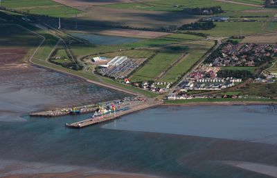
Dagebüll, Ferry port municipality on the North Sea coast in Nordfriesland, Germany.

Description

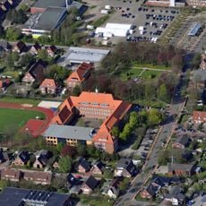
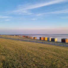
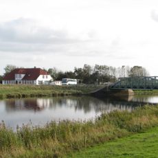
Dagebüll is a municipality on the North Sea coast in Schleswig-Holstein situated just one meter above sea level and stretching along the western shoreline. The town has a port with regular ferry connections to the islands of Föhr and Amrum and provides access to the Wadden Sea.

History

Dagebüll was formed in 1978 through the merger of three separate communities: Fahretoft, Juliane-Marien-Koog, and Waygaard. This combination created the present-day municipality while maintaining its deep roots in the long history of coastal settlement.

Culture

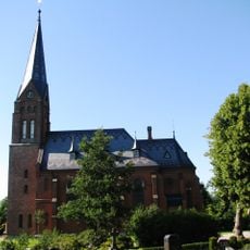
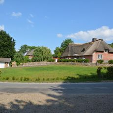
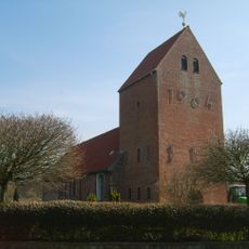
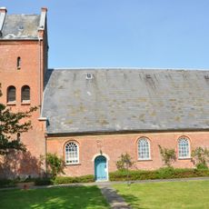
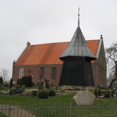
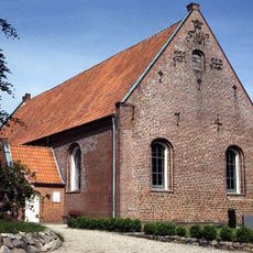
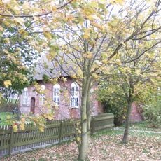
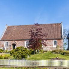
The Dagebüll Kirche district displays traditional North Frisian building styles with older farmhouses standing on artificial dwelling mounds from earlier periods. These mounds shape the landscape and reflect how people adapted to living in this coastal area.

Practical

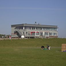
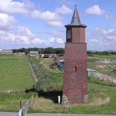
Two railway stations connect the municipality to nearby Niebüll and enable arrival by public transportation. During high tides, an auxiliary railway station operates to maintain transportation access for everyone.

Did you know?

The municipality is known for using a special mobile railway station during extreme high tides to ensure residents and visitors can leave the area. This solution shows how coastal communities adapt to the particular challenges of their location.

Elevation above the sea
1 m
Shares border with
Galmsbüll, Risum-Lindholm, Stedesand, Langenhorn, Ockholm
GPS coordinates
54.73361,8.71444
Latest update
December 20, 2025 14:49

AroundUs brings together thousands of curated places, local tips, and hidden gems, enriched daily by 60,000 contributors worldwide. Discover all places nearby (Nordfriesland district).

« Dagebüll - Ferry port municipality on the North Sea coast in Nordfriesland, Germany » is provided by Around Us (aroundus.com). Images and texts are derived from Wikimedia project under a Creative Commons license. You are allowed to copy, distribute, and modify copies of this page, under the conditions set by the license, as long as this note is clearly visible.

Discover hidden gems everywhere you go!

From secret cafés to breathtaking viewpoints, skip the crowded tourist spots and find places that match your style. Our app makes it easy with voice search, smart filtering, route optimization, and insider tips from travelers worldwide. Download now for the complete mobile experience.

Around Us App Screenshot

A unique approach to discovering new places

Le Figaro

All the places worth exploring

France Info

A tailor-made excursion in just a few clicks

20 Minutes

Around Us
Travel Guide & Maps
Download

Send to your phone

QR Code
1

Open the camera app on your mobile.

2

Point at the QR code with your camera. A notification will appear.

3

Tap the notification to open the link.