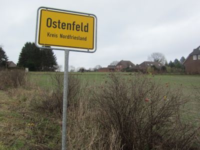
Ostenfeld, municipality in the district of Nordfriesland, in Schleswig-Holstein, Germany
The community of curious travelers
AroundUs brings together thousands of curated places, local tips, and hidden gems, enriched daily by 60,000 contributors worldwide.
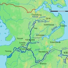
Location
Elevation above the sea
46 m
Website
GPS coordinates
54.46667,9.21667
Latest update
March 22, 2025 04:03