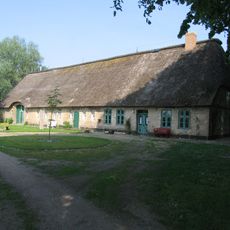
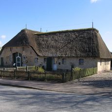
Sandesberg, Hill summit in Ostenfeld, Germany.
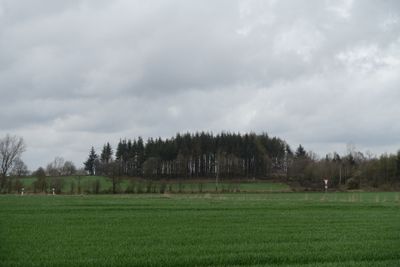
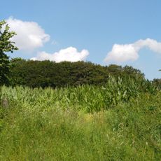
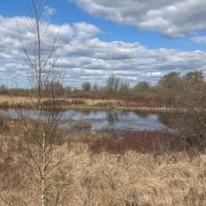
Sandesberg is a small hill near Ostenfeld in Schleswig-Holstein that rises approximately 53 meters above the surrounding land. Its slopes are covered with grass and low vegetation, offering clear views across the flat North Frisian landscape in all directions.
Sandesberg took its current form during the last glacial period when ice shaped the North Frisian terrain. The hill represents part of the geological legacy that created the flat landscape we see around Ostenfeld today.
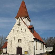
Sandesberg serves as a familiar landmark where locals from Ostenfeld take walks and enjoy views across the flat countryside. The hill functions as a meeting point for the community and a natural gateway to exploring the surrounding North Frisian landscape.
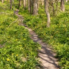
Walking trails from Ostenfeld lead to the summit, and parking is available near the village. Wear shoes with good grip since the grassy slopes can become slippery in wet conditions.
It is the highest natural point across the entire North Frisia region, which stands out in such a flat landscape. From this vantage point, visitors can see far across the marsh on clear days and understand why this small elevation is valued by the local community.
The community of curious travelers
AroundUs brings together thousands of curated places, local tips, and hidden gems, enriched daily by 60,000 contributors worldwide.