Enable Location

We need your location to show you interesting places around you

Discover nearby places

Find interesting locations and hidden gems around you

Precise directions

Get accurate directions and distances to places

Your location is never shared with other users. It's only used when you tap the location button.

Kirchheim unter Teck

Log in to your account

Start exploring — it's free

Trusted by 62,590 travelers worldwide

Continue with Google
Continue with Apple
or

We will send you a code to connect

By continuing, you accept our Terms and Conditions and our Privacy Policy

Check your inbox

We've sent a pincode in your inbox. Please enter the code below.

Kirchheim unter Teck, Administrative town in Esslingen district, Germany

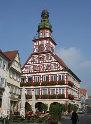
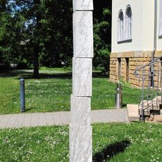
Kirchheim unter Teck is an administrative town in Esslingen district, Baden-Württemberg. The municipality sits at the base of Teck Mountain and spreads across several neighborhoods and residential areas.

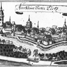
The first written mention dates back to the year 960, and during the 14th century the settlement developed into a center for textile production. Under Württemberg rule, the community later received town rights and grew into a regional trading hub.

The weekly farmers market and monthly Krämermarkt maintain traditional commerce patterns, offering local produce, clothing, and household items throughout the seasons.

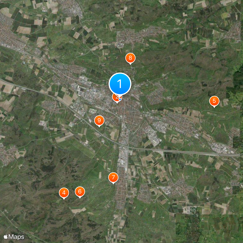
The train station sits close to the center and is served by regional trains and several bus routes. The town center is easy to explore on foot, and the surrounding area offers hiking and cycling paths toward the Swabian Jura.

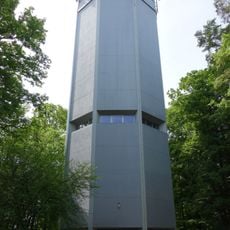
Near the town, visitors can find remains of a Natter rocket launch pad from the Second World War. This site was used in 1945 for testing experimental aircraft and is among the few visible traces of that program.

The community of curious travelers

AroundUs brings together thousands of curated places, local tips, and hidden gems, enriched daily by 60,000 contributors worldwide.

Start exploring
Location
Location
Kirchheim unter Teck VVG
Elevation above the sea
311 m
Shares border with
Notzingen, Wernau
GPS coordinates
48.64833,9.45111
Latest update
December 13, 2025 17:59
« Kirchheim unter Teck - Administrative town in Esslingen district, Germany » is provided by Around Us (aroundus.com). Images and texts are derived from Wikimedia project under a Creative Commons license. You are allowed to copy, distribute, and modify copies of this page, under the conditions set by the license, as long as this note is clearly visible.

Discover hidden gems everywhere you go!

From secret cafés to breathtaking viewpoints, skip the crowded tourist spots and find places that match your style. Our app makes it easy with voice search, smart filtering, route optimization, and insider tips from travelers worldwide. Download now for the complete mobile experience.

Around Us App Screenshot

A unique approach to discovering new places

Le Figaro

All the places worth exploring

France Info

A tailor-made excursion in just a few clicks

20 Minutes

Around Us
Travel Guide & Maps
Download

Send to your phone

QR Code
1

Open the camera app on your mobile.

2

Point at the QR code with your camera. A notification will appear.

3

Tap the notification to open the link.