
Sankt Egidien, municipality in the district Zwickau, in Saxony, Germany
Location: Zwickau
Elevation above the sea: 269 m
Website: https://st-egidien.de
GPS coordinates: 50.78500,12.62000
Latest update: March 6, 2025 05:46

Schloss Lichtenstein
3.2 km
Daetz-Centrum
3.2 km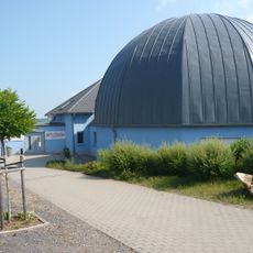
Minikosmos
3 km
Clubkino Capitol
3.2 km
Kirche Niederlungwitz
4.5 km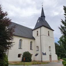
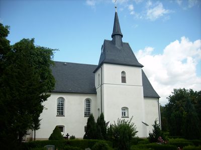
Kirche Unserer Lieben Frauen
719 m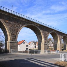
Viadukt Lungwitzbachtal
868 m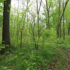
Erlen-Auwald Stein
4.6 km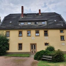
Alte Kirchschule Lungwitzer Straße 41
713 m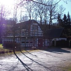
Klaus-Mühle
4.8 km
Lobsdorfer Schieferbrüche
4.6 km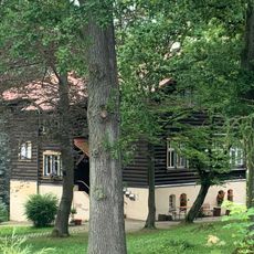
Villa, später zum Betlehemstift Hüttengrund 44
4.2 km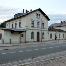
Bahnhof Lichtenstein
3.1 km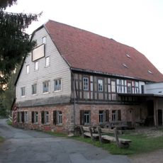
Obermühle St. Peter Niederlungwitz
3.3 km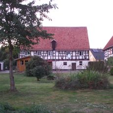
Wohnstallhaus, Seitengebäude mit Durchfahrt und Scheune eines Vierseithofes Hauptstraße 64
3.7 km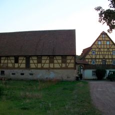
Wohnstallhaus, Seitengebäude, Stallgebäude und Torbogen eines Vierseithofes Hauptstraße 59
3.9 km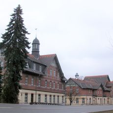
Bethlehemstift
4.3 km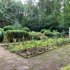
Sowjetischer Ehrenfriedhof Hüttengrund
4.2 km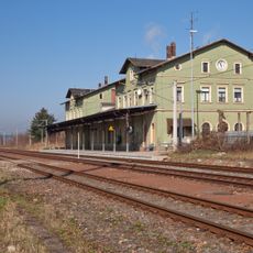
Bahnhof St. Egidien St. Egidien
528 m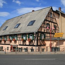
Gasthof Dresdner Straße 12
3.6 km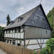
Eulenhaus
694 m
Strumpffabrik Bernsdorf
3.4 km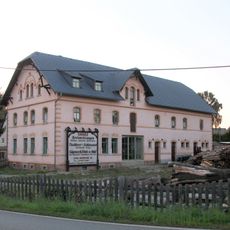
Wohnhaus (mit Lagerräumen und Laden, ehemaliger Mühlenspeicher der benachbarten Mühle Mühlenstraße 18) Mühlenstraße 19
3.7 km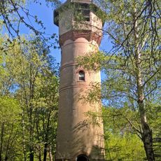
Genesungsheim König-Georg-Stift Glauchau
3.2 km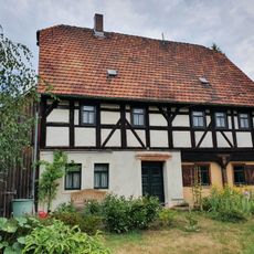
Wohnhaus (Umgebindehaus) Lungwitzer Straße 25
1.1 km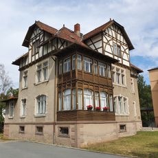
Wohnhaus Bahnhofstraße 11
197 m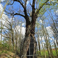
Käpplereiche
2.6 km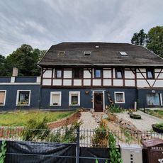
Gasthaus Glauchauer Straße 33
728 mVisited this place? Tap the stars to rate it and share your experience / photos with the community! Try now! You can cancel it anytime.
Discover hidden gems everywhere you go!
From secret cafés to breathtaking viewpoints, skip the crowded tourist spots and find places that match your style. Our app makes it easy with voice search, smart filtering, route optimization, and insider tips from travelers worldwide. Download now for the complete mobile experience.

A unique approach to discovering new places❞
— Le Figaro
All the places worth exploring❞
— France Info
A tailor-made excursion in just a few clicks❞
— 20 Minutes