Besigheim, Resort town in Ludwigsburg, Germany.
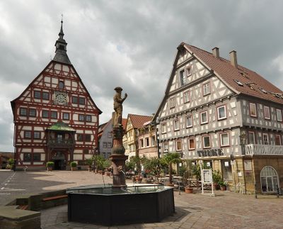
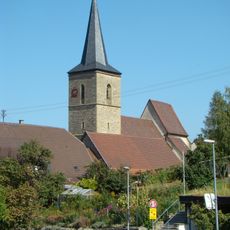
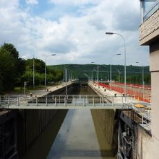
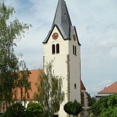
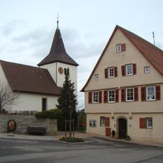
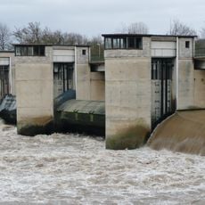
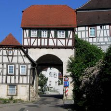
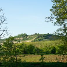
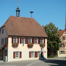
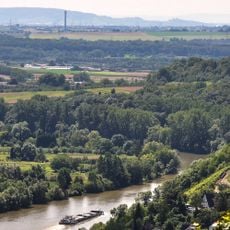
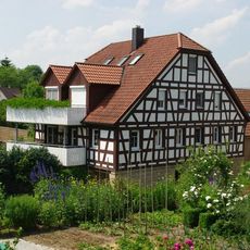
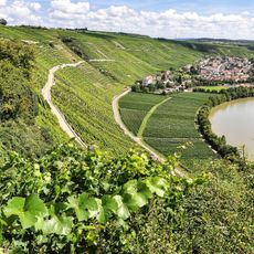
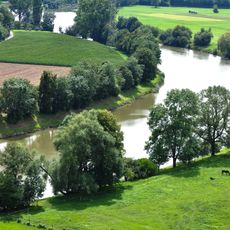
Besigheim is a small town in Baden-Württemberg that sits where the Neckar and Enz rivers meet, surrounded by steep hillsides covered with grapevines. The townscape is shaped by medieval stone buildings and traditional half-timbered houses clustered tightly around the old town center.
The settlement first appeared in records in 1153 under King Friedrich I and grew into a fortified town with defensive towers during the Staufer period. Its prosperity came partly from its strategic position at river crossings and the wine production that later developed on the surrounding hillsides.
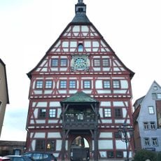
The town's name comes from the founding family, the von Besigheim knights, who established their presence here during the Middle Ages. Today, you can see this heritage in the layout of the old town center, where narrow streets and half-timbered houses reflect the medieval period when the town served as a local center of power and trade.
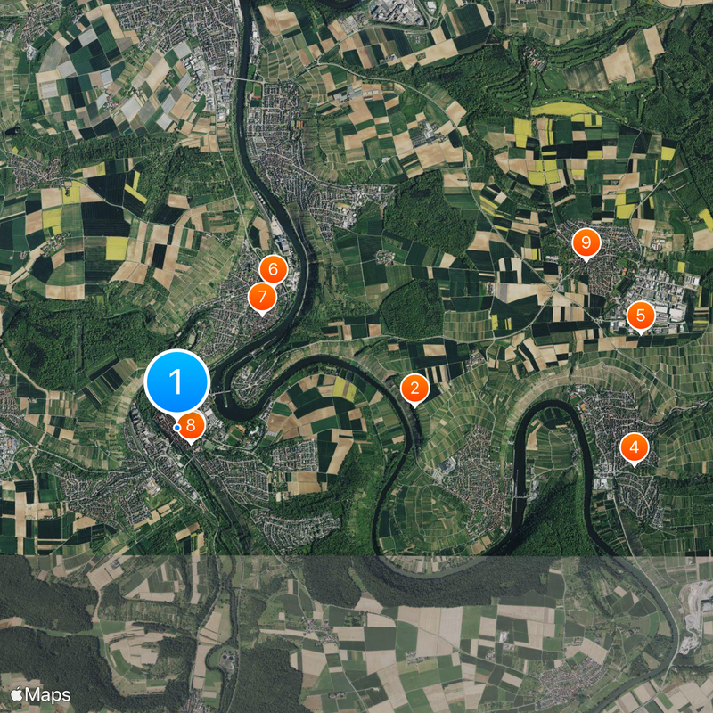
The town is easily reached by public transport and has parking areas on the outskirts. The best time to visit is spring or autumn when the weather is mild and the wine region is in full activity.
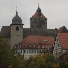
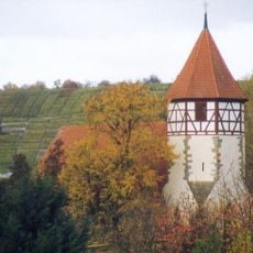
The Waldhornturm tower, a remnant of the former Lower Castle, was built around 1220 and shapes the townscape with its height and thick walls. This tower is a rare example of castle architecture from that era and shows how important the settlement was as a fortification center.
Location: Ludwigsburg District
Location: Besigheim GVV
Elevation above the sea: 202 m
Website: http://besigheim.de
GPS coordinates: 48.99964,9.14175
Latest update: December 13, 2025 12:38
Hessigheimer Felsengärten
2.6 km
Evangelische Stadtkirche
201 m
Kilianskirche
5 km
Mundelsheim Mithraeum
5.1 km
Römerhaus Walheim
1.9 km
Kastelle von Walheim
1.5 km
Obere Burg Besigheim
223 m
Pfarrkirche St. Hippolyt
4.8 km
Untere Burg Besigheim
226 m
Nikolauskirche
5 km
Staustufe Hessigheim
3.8 km
Besigheim lock
1.2 km
St. Johannes
2.9 km
Ottiliakirche (Hofen)
3.2 km
Staustufe Besigheim
600 m
Großbottwarer Tor
5 km
Mineralparkfreibad
855 m
Römischer Gutshof Steinmäurich
5.3 km
Neckarhalde
3.1 km
Rathaus Ottmarsheim
4.8 km
Museum in der Stiftsscheuer Mundelsheim
4.8 km
Unteres Tal/Haldenrain
4.8 km
Besigheimer Straße 9
4.7 km
Baumbachtal zwischen Erligheim und Walheim, Steinbachtal zwischen Löchgau und Besigheim mit Umgebung, insbesondere Niedernberg, Schalkstein und Hart
1.4 km
Gebiete nördlich des Neckars bei Mundelsheim, Hessigheim, Besigheim und Gemmrigheim: Käsberg, Felsengärten, Wurmberg, Gündelstein, Kelterschen und Umgebung
3 km
Neckartal zwischen Großingersheim und Hessigheim mit Umgebung (insbesondere Beutenbachtal, Wurmberg, Kallenberg, Salen, Hart und Bachwiesental)
5 km
Alter Neckarbogen bei Kirchheim am Neckar, Hofen und Hohenstein mit angrenzenden Gebieten
3.8 km
Rathaus Besigheim
38 mVisited this place? Tap the stars to rate it and share your experience / photos with the community! Try now! You can cancel it anytime.
Discover hidden gems everywhere you go!
From secret cafés to breathtaking viewpoints, skip the crowded tourist spots and find places that match your style. Our app makes it easy with voice search, smart filtering, route optimization, and insider tips from travelers worldwide. Download now for the complete mobile experience.
A unique approach to discovering new places❞
— Le Figaro
All the places worth exploring❞
— France Info
A tailor-made excursion in just a few clicks❞
— 20 Minutes