
Ahorn, municipality in Baden-Württemberg, Germany
Location: Main-Tauber-Kreis
Location: Boxberg VVG
Elevation above the sea: 360 m
Website: http://gemeindeahorn.de
GPS coordinates: 49.50083,9.53972
Latest update: March 7, 2025 09:57
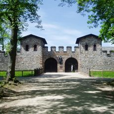
Limes Germanicus
2.9 km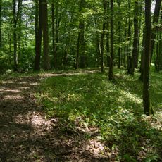
Viereckschanze von Gerichtstetten
3.6 km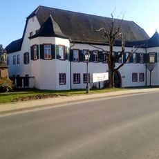
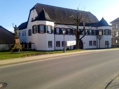
Bettendorfsches Schloss
48 m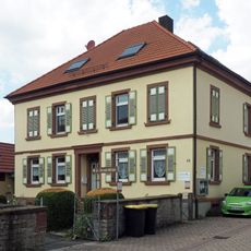
Kirchenbezirk Adelsheim-Boxberg
4.1 km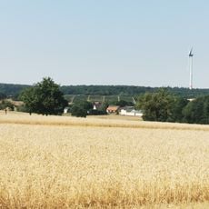
Neidelsbach
1.6 km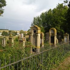
Jewish Cemetery Untereubigheim
517 m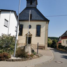
St. Burkhard
3.9 km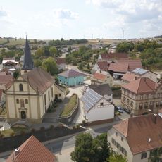
St. Burghardt
4.6 km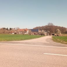
Ahornhof
5.9 km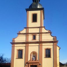
St. Maria
8 m
Aussiedlerhof Eubigheimerweg
3.1 km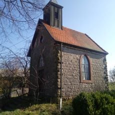
Kapelle
1.6 km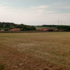
Waschgrube
4.8 km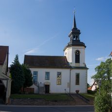
Evangelische Kirche
4.4 km
Evangelische Kirche Eubigheim
63 m
Friedhof
407 m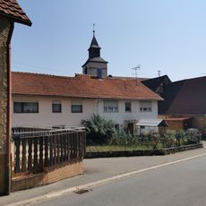
Evangelische Kirche Uiffingen
3.8 km
Rathaus Ahorn
46 m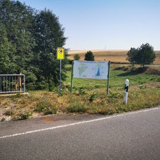
Hochwasserrückhaltebecken Eubigheim/Langewiesen
634 m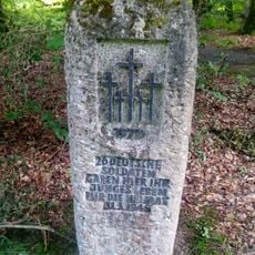
Kriegerdenkmal
5.9 km
Zimmerwald
3.6 km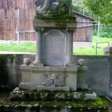
Kriegerdenkmal Erfeld (1. Weltkrieg)
6.9 km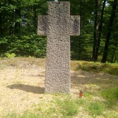
Kriegerdenkmal
5.9 km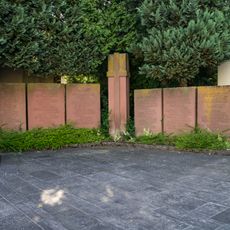
Kriegerdenkmal
4.4 km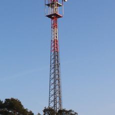
Boxturm
4 km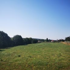
Hochwasserrückhaltebecken Eubigheim/Graswiesen
389 m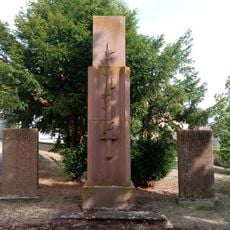
Kriegerdenkmal
1.9 km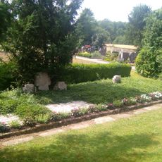
Kriegerdenkmal
4.6 kmReviews
Visited this place? Tap the stars to rate it and share your experience / photos with the community! Try now! You can cancel it anytime.
Discover hidden gems everywhere you go!
From secret cafés to breathtaking viewpoints, skip the crowded tourist spots and find places that match your style. Our app makes it easy with voice search, smart filtering, route optimization, and insider tips from travelers worldwide. Download now for the complete mobile experience.

A unique approach to discovering new places❞
— Le Figaro
All the places worth exploring❞
— France Info
A tailor-made excursion in just a few clicks❞
— 20 Minutes