
Schwörstadt, municipality in Germany
Location: Lörrach
Location: Rheinfelden (Baden) VVG
Elevation above the sea: 298 m
Website: http://schwoerstadt.de
GPS coordinates: 47.59278,7.88028
Latest update: March 11, 2025 12:38
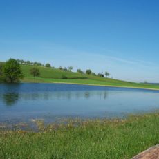
Eichener See
6 km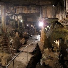
Erdmannshöhle
6.3 km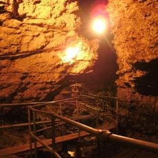
Tschamberhöhle
4.6 km
Hohe Flum
6.5 km
Bata Area
3.3 km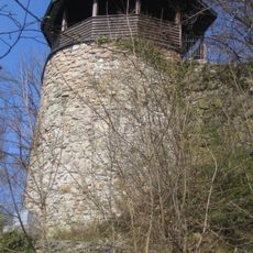
Ruine Werrach
4.5 km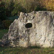
Heidenstein
472 m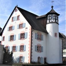
Altes Schloss Wehr
4.2 km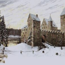
Schloss Schwörstadt
0 m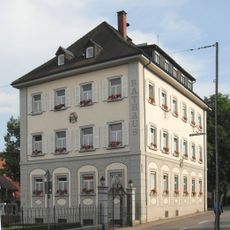
Neues Schloss Wehr
4.1 km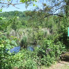
Wehramündung
2 km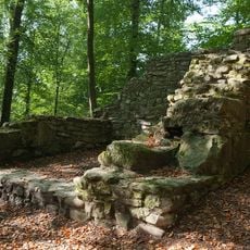
Riburg «Bürkli», part of the late Roman Rhine fortification and early medieval fortification
3.3 km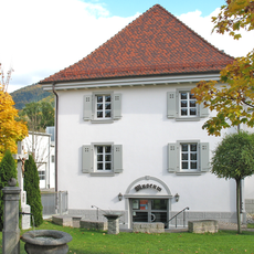
Textilmuseum der Brennet AG
4.5 km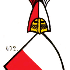
Burg Beuggen
5.1 km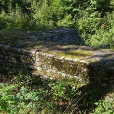
Fahrgraben, Teil der spätrömischen Rheinbefestigung
783 m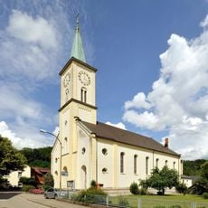
St. Clemens und St. Urban
102 m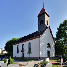
Evangelische Kirche (Eichen)
7 km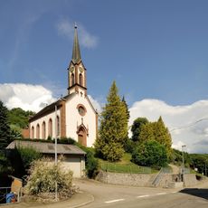
Evangelische Pfarrkirche
2.9 km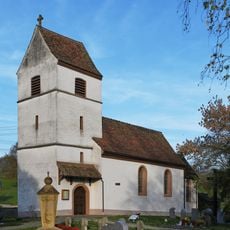
St.-Mauritius-Kapelle
5 km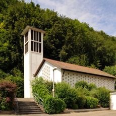
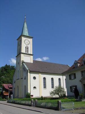
Evangelical Church
250 m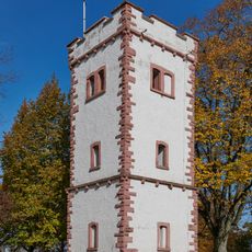
Hohe Flum Observation Tower
6.5 km
Eichener See
6 km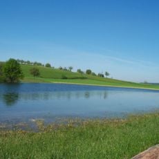
Eichener See
5.9 km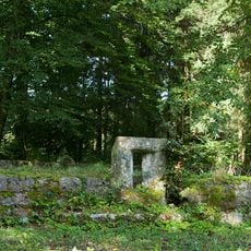
Stelli, part of the late Roman Rhine fortifications
2.9 km
Wehramündung
1.7 km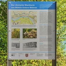
Untere Wehren, Teil der spätrömischen Rheinbefestigung
1.1 km
Wehramündung
1.3 km
Dinkelberg
3.1 kmVisited this place? Tap the stars to rate it and share your experience / photos with the community! Try now! You can cancel it anytime.
Discover hidden gems everywhere you go!
From secret cafés to breathtaking viewpoints, skip the crowded tourist spots and find places that match your style. Our app makes it easy with voice search, smart filtering, route optimization, and insider tips from travelers worldwide. Download now for the complete mobile experience.

A unique approach to discovering new places❞
— Le Figaro
All the places worth exploring❞
— France Info
A tailor-made excursion in just a few clicks❞
— 20 Minutes