
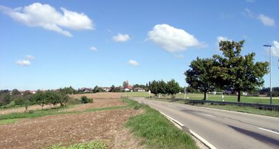
Lichtenwald, municipality in Germany
Location: Esslingen
Location: Reichenbach an der Fils GVV
Elevation above the sea: 467 m
Website: http://lichtenwald.de
GPS coordinates: 48.75222,9.48278
Latest update: March 5, 2025 06:34
Jagdschloss Hohengehren
4.1 km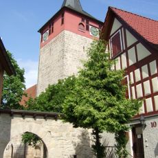
St. Michael
5.3 km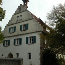
Jagdschloss Engelberg
4.4 km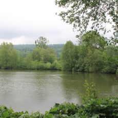
Rehfeldsee
5.2 km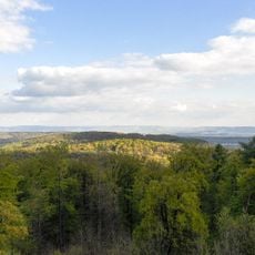
Schurwald
1.2 km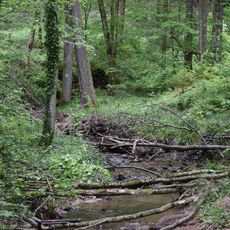
Bärentobel
5.6 km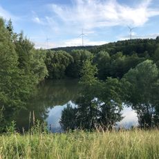
Hochwasserrückhaltebecken Lehnenbach
4.2 km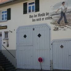
Dorf- und Heimatmuseum Winterbach
5.2 km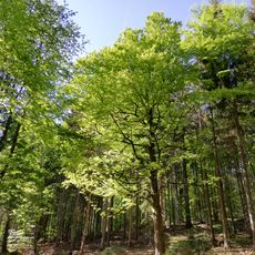
Hirschäcker
4.7 km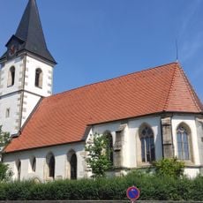
Aegidiuskirche
2.6 km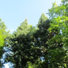
Arboretum und Wellingtonien am Goldboden
3.3 km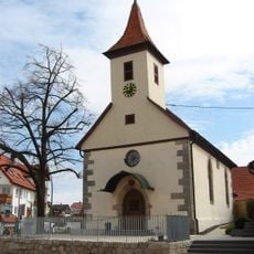
Dorfkirche Schlichten
2.7 km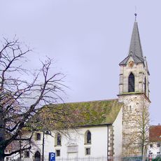
Heilig Kreuz Kirche (Weiler)
5.2 km
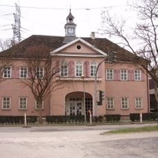
Rathaus Baltmannsweiler
2.7 km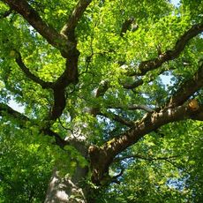
Kaisereiche
5 km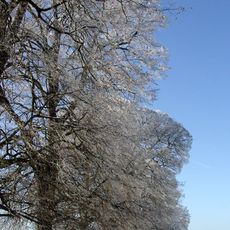
Lindenallee mit 35 Winterlinden, 3 Eichen, 1 Bergahorn und 3 Kastanien
905 m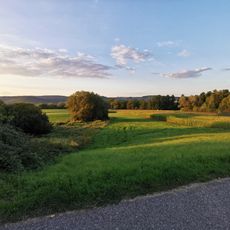
Feuchtgebiete in den Rehwiesen
5.1 km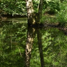
Tümpel im Schlierbachtal
4.4 km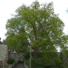
1 Linde bei der Kirche
4.9 km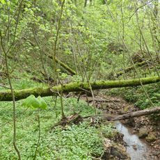
Bachklinge Schweiz
3.9 km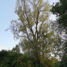
Schwarzpappel
5.1 km
Flurgehölz im Hof
5 km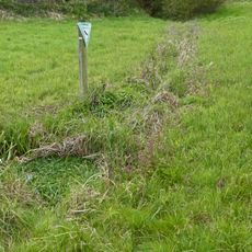
Naßwiese Diebshalde
4.5 km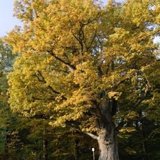
1 Eiche (Bühleiche)
5.1 km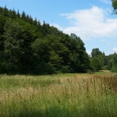
Quellenhang im Schweizerbachtal
4.8 km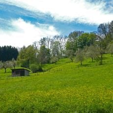
Nassachtal
4.1 km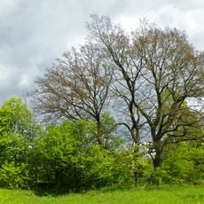
Eichengruppe (3 Bäume)
4 km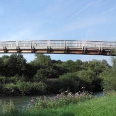
Otto-Munz-Steg
5 kmReviews
Visited this place? Tap the stars to rate it and share your experience / photos with the community! Try now! You can cancel it anytime.
Discover hidden gems everywhere you go!
From secret cafés to breathtaking viewpoints, skip the crowded tourist spots and find places that match your style. Our app makes it easy with voice search, smart filtering, route optimization, and insider tips from travelers worldwide. Download now for the complete mobile experience.

A unique approach to discovering new places❞
— Le Figaro
All the places worth exploring❞
— France Info
A tailor-made excursion in just a few clicks❞
— 20 Minutes