
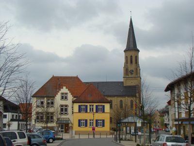
Meckesheim, municipality in Germany
Location: Rhein-Neckar
Location: Elsenztal GVV
Elevation above the sea: 154 m
Shares border with: Eschelbronn, Zuzenhausen, Spechbach, Lobbach
Website: https://meckesheim.de
GPS coordinates: 49.32139,8.81528
Latest update: March 4, 2025 13:46
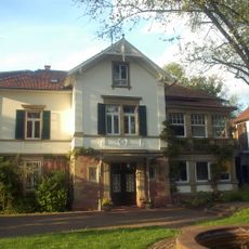
Kurpfalz Internat
4.4 km
Kloster Lobenfeld
5 km
Wasserburg Eschelbronn
4 km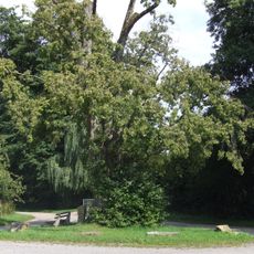
Alte Linde Eschelbronn
3.3 km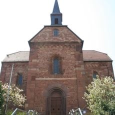
Klosterkirche Lobenfeld
5 km
Burg Zuzenhausen
3 km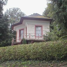
Jagdschloss Sorgenfrei
2.2 km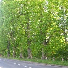
Kastanienallee
3.8 km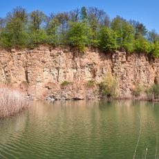
Kallenberg
4.1 km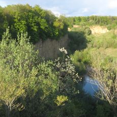
Kallenberg und Kaiserberg
4 km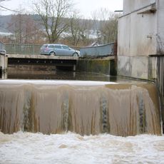
Ziegler'sche Mühle
3.9 km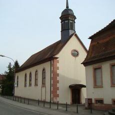
St. Michael (Wiesenbach)
4.3 km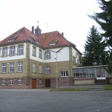
Alte Schule
3.7 km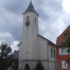
Evangelische Kirche Eschelbronn
3.8 km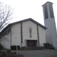
St. Josef (Eschelbronn)
3.9 km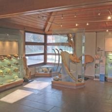
Urgeschichtliches Museum im Rathaus
2.6 km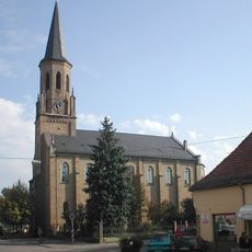
Evangelische Kirche
282 m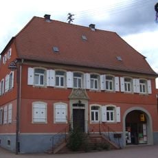
Altes Pfarrhaus (Eschelbronn)
3.8 km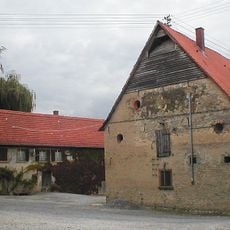
Schloss Mönchzell
3 km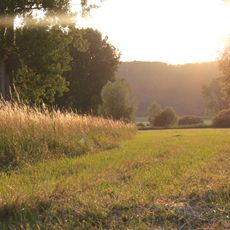
Mauermer und Bammentaler Elsenztal
3.3 km
Alte Steigstraße 4
4.3 km
Hauck’sches Haus
3.7 km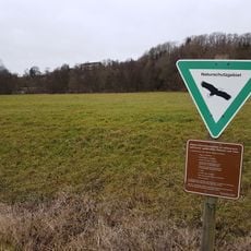
Unteres Schwarzbachtal
1.4 km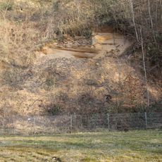
Sandgrube am Grafenrain
3.2 km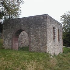
St. Martinskirche
941 m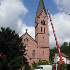
Eibe vor evang. Kirche
4.8 km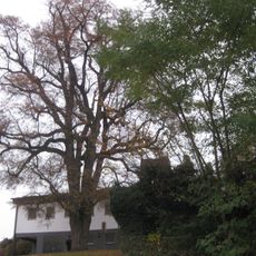
Winterlinde am Friedhof
3.6 km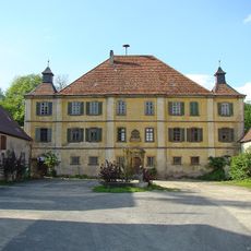
Schloss Seehälde
3.2 kmVisited this place? Tap the stars to rate it and share your experience / photos with the community! Try now! You can cancel it anytime.
Discover hidden gems everywhere you go!
From secret cafés to breathtaking viewpoints, skip the crowded tourist spots and find places that match your style. Our app makes it easy with voice search, smart filtering, route optimization, and insider tips from travelers worldwide. Download now for the complete mobile experience.

A unique approach to discovering new places❞
— Le Figaro
All the places worth exploring❞
— France Info
A tailor-made excursion in just a few clicks❞
— 20 Minutes