·

Enable Location

We need your location to show you interesting places around you

Discover nearby places

Find interesting locations and hidden gems around you

Precise directions

Get accurate directions and distances to places

Your location is never shared with other users. It's only used when you tap the location button.

Log in to your account

Start exploring — it's free

Trusted by 62,757 travelers worldwide

Continue with Google
Continue with Apple
or

We will send you a code to connect

By continuing, you accept our Terms and Conditions and our Privacy Policy

Check your inbox

We've sent a pincode in your inbox. Please enter the code below.

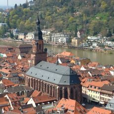
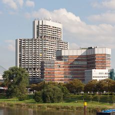
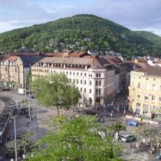
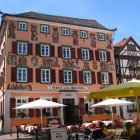
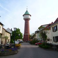
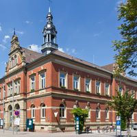
Rhein-Neckar, Administrative district in Baden-Württemberg, Germany

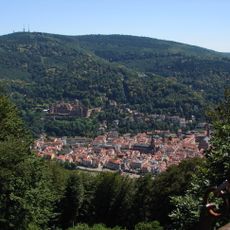
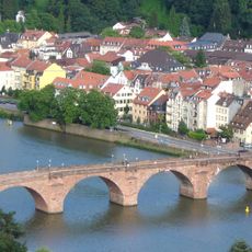
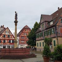
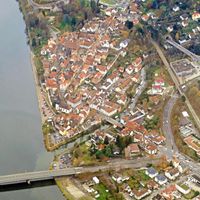
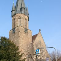
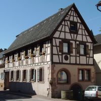
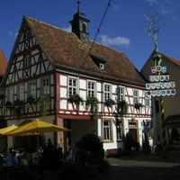
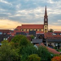
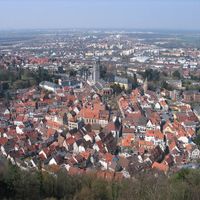
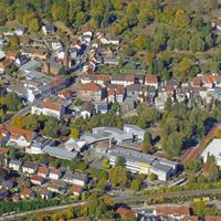
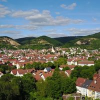
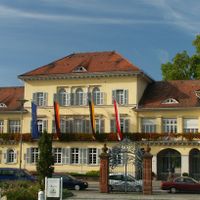
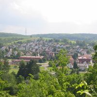
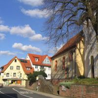
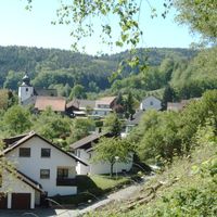
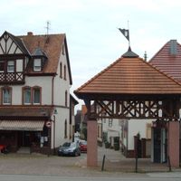
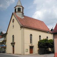
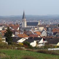
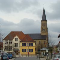
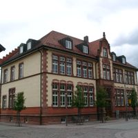
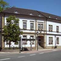
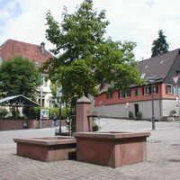
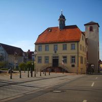
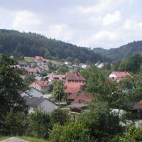
Rhein-Neckar is an administrative district in Baden-Württemberg situated between two major rivers. The territory covers dozens of municipalities that range from small villages to midsized towns throughout the valley and surrounding hills.

The district came into being in 1973 when the state reorganized local government boundaries across the region. This reform aimed to create larger units and simplify public administration after decades of fragmented control.

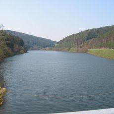
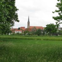
The area takes its name from the two rivers that define its boundaries and character. Many towns combine local traditions with the influence of nearby universities and research facilities that shape daily life.

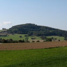
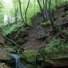
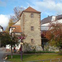
Major highways cross the territory and link smaller towns with larger cities in the region. Visitors can use regional roads that wind through vineyards and forests to reach individual communities and historic sites.

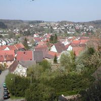
The territory holds more residents than any other rural district in the state despite covering relatively little ground. This density reflects proximity to economic hubs and educational centers that draw people from across the region.

The community of curious travelers

AroundUs brings together thousands of curated places, local tips, and hidden gems, enriched daily by 60,000 contributors worldwide.

Start exploring
Capital city
Heidelberg
Elevation above the sea
390 m
Shares border with
Mannheim, Heidelberg, Landkreis Bergstraße, Odenwald, Neckar-Odenwald, Heilbronn, Landkreis Karlsruhe, Speyer, Rhein-Pfalz
GPS coordinates
49.36667,8.73333
Latest update
December 13, 2025 16:48
« Rhein-Neckar - Administrative district in Baden-Württemberg, Germany » is provided by Around Us (aroundus.com). Images and texts are derived from Wikimedia project under a Creative Commons license. You are allowed to copy, distribute, and modify copies of this page, under the conditions set by the license, as long as this note is clearly visible.

Discover hidden gems everywhere you go!

From secret cafés to breathtaking viewpoints, skip the crowded tourist spots and find places that match your style. Our app makes it easy with voice search, smart filtering, route optimization, and insider tips from travelers worldwide. Download now for the complete mobile experience.

Around Us App Screenshot

A unique approach to discovering new places

Le Figaro

All the places worth exploring

France Info

A tailor-made excursion in just a few clicks

20 Minutes

Around Us
Travel Guide & Maps
Download

Send to your phone

QR Code
1

Open the camera app on your mobile.

2

Point at the QR code with your camera. A notification will appear.

3

Tap the notification to open the link.