Enable Location

We need your location to show you interesting places around you

Discover nearby places

Find interesting locations and hidden gems around you

Precise directions

Get accurate directions and distances to places

Your location is never shared with other users. It's only used when you tap the location button.

Bammental

Log in to your account

Start exploring — it's free

Trusted by 61,977 travelers worldwide

Continue with Google
Continue with Apple
or

We will send you a code to connect

By continuing, you accept our Terms and Conditions and our Privacy Policy

Check your inbox

We've sent a pincode in your inbox. Please enter the code below.

Bammental, Administrative municipality in Rhein-Neckar district, Germany.

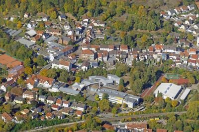
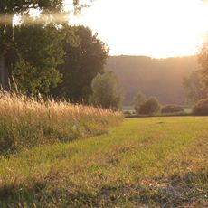
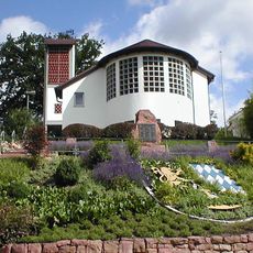
Bammental is a municipality in the Rhein-Neckar region situated along the Elsenz valley between the towns of Mauer and Neckargemünd. The area features meadows and forests typical of a river valley setting, with residential neighborhoods and farmland scattered throughout.

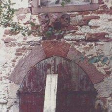
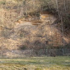
The area shows evidence of human habitation dating back hundreds of thousands of years to the Pleistocene epoch. Roman occupation later left its mark through roads and settlements that connected the region to the broader empire.

The name derives from the German word for tree, reflecting the wooded character of this valley setting. Local identity remains connected to this natural landscape that shaped the community's identity.

The community is served by two S-train stations providing connections to larger towns including Heidelberg and Sinsheim. Federal highway B45 runs through the area, offering access to regional transportation routes and neighboring communities.

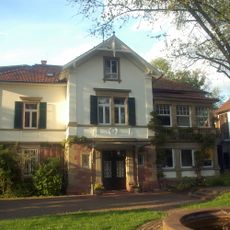
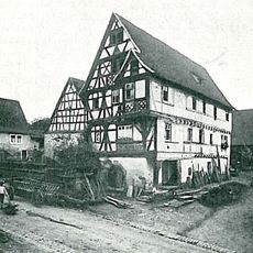
A local history museum housed in a former train station building preserves items spanning from prehistoric times through recent decades. This collection tells the story of human presence across different historical periods that have shaped the region.

The community of curious travelers

AroundUs brings together thousands of curated places, local tips, and hidden gems, enriched daily by 60,000 contributors worldwide.

Start exploring
Location
Location
Neckargemünd GVV
Elevation above the sea
125 m
GPS coordinates
49.35570,8.77607
Latest update
December 20, 2025 12:43
« Bammental - Administrative municipality in Rhein-Neckar district, Germany » is provided by Around Us (aroundus.com). Images and texts are derived from Wikimedia project under a Creative Commons license. You are allowed to copy, distribute, and modify copies of this page, under the conditions set by the license, as long as this note is clearly visible.

Discover hidden gems everywhere you go!

From secret cafés to breathtaking viewpoints, skip the crowded tourist spots and find places that match your style. Our app makes it easy with voice search, smart filtering, route optimization, and insider tips from travelers worldwide. Download now for the complete mobile experience.

Around Us App Screenshot

A unique approach to discovering new places

Le Figaro

All the places worth exploring

France Info

A tailor-made excursion in just a few clicks

20 Minutes

Around Us
Travel Guide & Maps
Download

Send to your phone

QR Code
1

Open the camera app on your mobile.

2

Point at the QR code with your camera. A notification will appear.

3

Tap the notification to open the link.