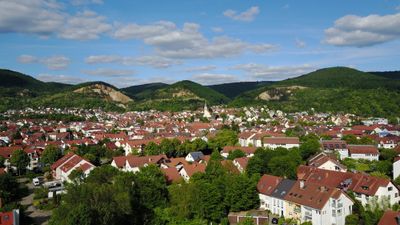
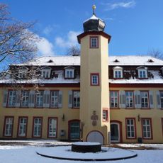
Dossenheim, municipality in Germany
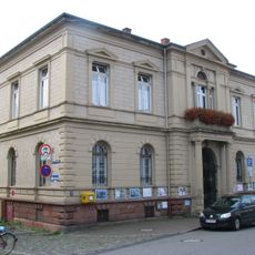
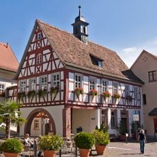
Dossenheim is a town in the Rhein-Neckar region with residential areas, local shops, and services typical of a small community. Green spaces surround the built-up zones, and road connections link it to nearby larger towns.
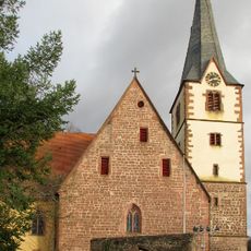
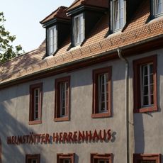
The place developed as a farming settlement over several centuries in the region. Industrial growth during the 1800s and 1900s transformed it into a residential community with modern infrastructure.
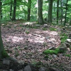
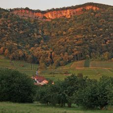
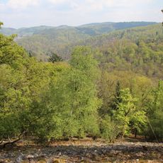
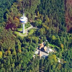
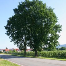
The name reflects the location in a valley, which shapes how residents relate to their surroundings. Local life centers on the natural landscape and small-town rhythms that define daily routines.
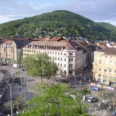
The place is easy to reach by car with parking available in several areas. Walking through the town is manageable since most facilities are within reasonable distance of each other.
The community of curious travelers
AroundUs brings together thousands of curated places, local tips, and hidden gems, enriched daily by 60,000 contributors worldwide.