
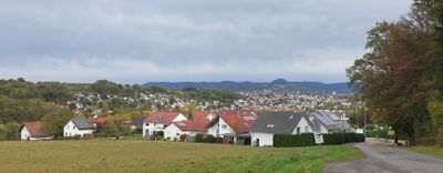
Wannweil, municipality in Germany
Location: Reutlingen
Elevation above the sea: 332 m
Website: http://www.wannweil.de
Website: http://wannweil.de
GPS coordinates: 48.51472,9.15083
Latest update: March 7, 2025 00:15
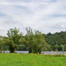
Kirchentellinsfurter Baggersee
2.9 km
Christuskirche (Reutlingen)
4.1 km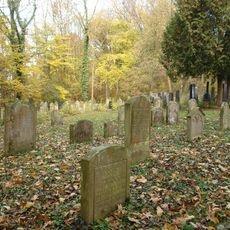
Jüdischer Friedhof (Wankheim)
3.8 km
Blaulach
3.1 km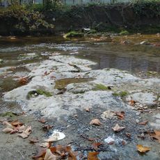
Schneckenpflaster Echaz
2.8 km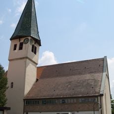
Marienkirche
2.4 km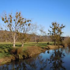
Mittleres Neckartal
3 km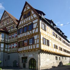
Schloss Kirchentellinsfurt
2 km
Härten
1.2 km
Burgrest Jettenburg
2.3 km
Römisches Grabmal bei Kirchentellinsfurt
2.6 km
Härten
1.1 km
Mauritiuskirche
2.6 km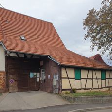
Metropol Kino- und Kulturscheune
2.3 km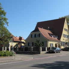
Gasthaus Karz
3.6 km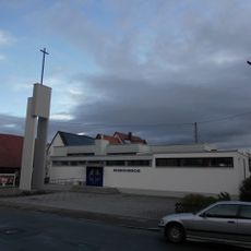
Friedenskirche
2.5 km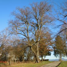
Linde
1.6 km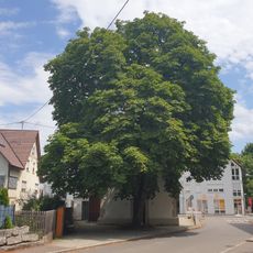
1 Kastanie
2 km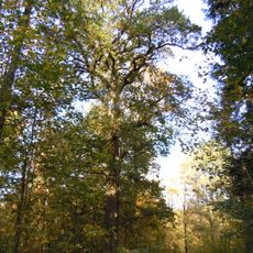
1 Eiche im Großholz
3.5 km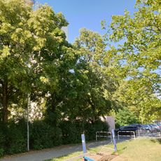
2 Sommerlinden
2.1 km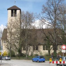
2 Platanen (Reutlingen - Alteburg)
4.1 km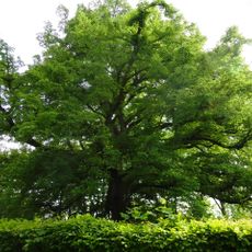
Sommerlinde
3.1 km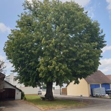
1 Linde
2 km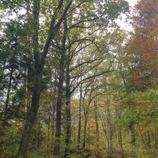
1 Eiche
3.9 km
Schneckenpflaster
2.7 km
1 Linde "Bei der Linde"
2.4 km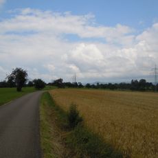
Härten
1.9 km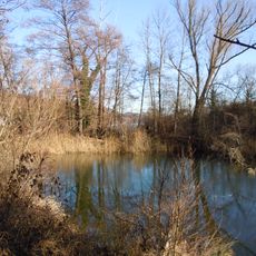
West- und Nordufer Baggersee Kirchentellinsfurt
2.8 kmReviews
Visited this place? Tap the stars to rate it and share your experience / photos with the community! Try now! You can cancel it anytime.
Discover hidden gems everywhere you go!
From secret cafés to breathtaking viewpoints, skip the crowded tourist spots and find places that match your style. Our app makes it easy with voice search, smart filtering, route optimization, and insider tips from travelers worldwide. Download now for the complete mobile experience.

A unique approach to discovering new places❞
— Le Figaro
All the places worth exploring❞
— France Info
A tailor-made excursion in just a few clicks❞
— 20 Minutes